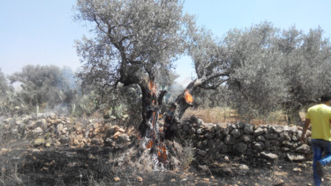
98% of Gaza’s Tree Cropland Destroyed by Israel
Maps based on remote sensing analysis could inform remediation efforts by identifying whether agricultural lands were damaged by bombs, debris, or forced displacement of its caretakers.
Copy and paste this URL into your WordPress site to embed
Copy and paste this code into your site to embed