• About
  • Sections
  • Topics
    • Climate
    • Earth Science
    • Oceans
    • Space & Planets
    • Health & Ecosystems
    • Culture & Policy
    • Education & Careers
    • Opinions
  • Projects
    • ENGAGE
    • Editors’ Highlights
    • Editors’ Vox
    • Eos en Español
    • Eos 简体中文版
    • Print Archive
  • Science Policy Tracker
  • Blogs
    • Research & Developments
    • The Landslide Blog
  • Newsletter
  • Submit to Eos
  • AGU.org
  • Career Center
  • Join AGU
  • Give to AGU
  • About
  • Sections
  • Topics
    • Climate
    • Earth Science
    • Oceans
    • Space & Planets
    • Health & Ecosystems
    • Culture & Policy
    • Education & Careers
    • Opinions
  • Projects
    • ENGAGE
    • Editors’ Highlights
    • Editors’ Vox
    • Eos en Español
    • Eos 简体中文版
    • Print Archive
  • Science Policy Tracker
  • Blogs
    • Research & Developments
    • The Landslide Blog
  • Newsletter
  • Submit to Eos
Skip to content
  • AGU.org
  • Career Center
  • Join AGU
  • Give to AGU
Eos

Eos

Science News by AGU

Support Eos
Sign Up for Newsletter
  • About
  • Sections
  • Topics
    • Climate
    • Earth Science
    • Oceans
    • Space & Planets
    • Health & Ecosystems
    • Culture & Policy
    • Education & Careers
    • Opinions
  • Projects
    • ENGAGE
    • Editors’ Highlights
    • Editors’ Vox
    • Eos en Español
    • Eos 简体中文版
    • Print Archive
  • Science Policy Tracker
  • Blogs
    • Research & Developments
    • The Landslide Blog
  • Newsletter
  • Submit to Eos

limestone

The narrow entrance to Stanton’s Cave, about 40 meters above the Colorado River
Posted inNews

An Asteroid Impact May Have Led to Flooding near the Grand Canyon

Katherine Kornei, Science Writer by Katherine Kornei 22 October 202522 October 2025

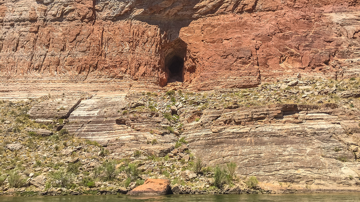
There’s remarkable synchronicity between the timing of a paleolake in what is today Grand Canyon National Park and the formation of nearby Barringer Meteorite Crater.

A beach in the Florida Keys
Posted inNews

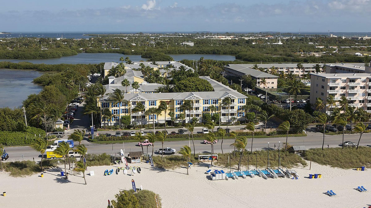
Shallow Injection Imperfectly Filters Florida Wastewater

by Caroline Hasler 26 September 202526 September 2025

Injection of wastewater into shallow wells is meant to filter nutrients like nitrogen and phosphorus out of the wastewater. But a new study suggests that nutrients aren’t entirely eliminated—and may be polluting coastal waters.

An image depicts a thin layer of sedimentary rock under a microscope. Fragments of fossilized organisms show up as small dark blobs.
Posted inNews

Biomass and Biodiversity Were Coupled in Earth’s Past

by Grace van Deelen 9 July 20259 July 2025

Measuring shells and skeletons encased in thousands of limestone samples has revealed that the sheer amount of living stuff in Earth’s oceans changed alongside the diversity of organisms.

A mound of clay in a flow tunnel is eroded by water.
Posted inNews

Did These Curious Rock Formations Inspire the Great Sphinx?

by Nathaniel Scharping 3 November 20233 November 2023

New research says it’s plausible the Great Sphinx started life as a geomorphological oddity known as a yardang.

A person stands in a dark cave holding a flashlight.
Posted inNews

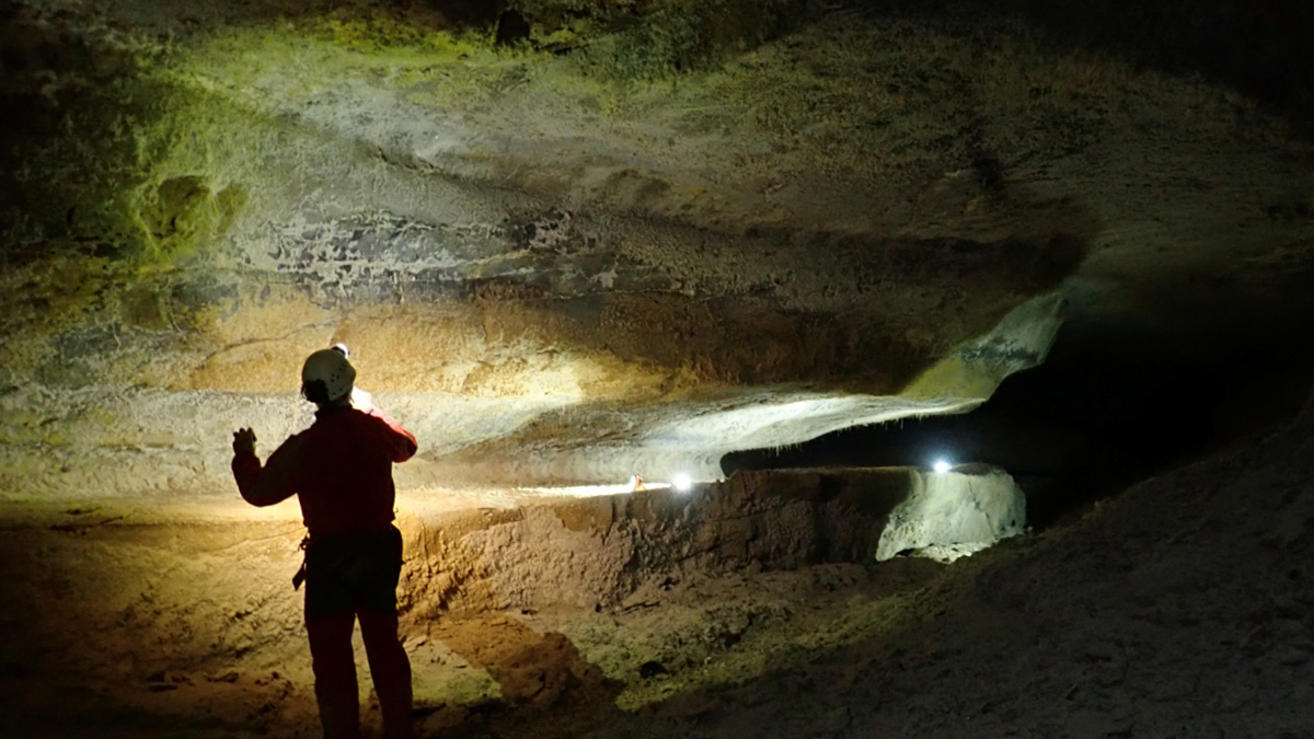
Searching for the Sculptor of France’s Caves

Jenessa Duncombe, Staff Writer by Jenessa Duncombe 31 March 202331 March 2023

Spelunking scientists searched for the original source of the French Pyrenees’ magnificent caves.

Australia’s remote Nullarbor Plain.
Posted inNews

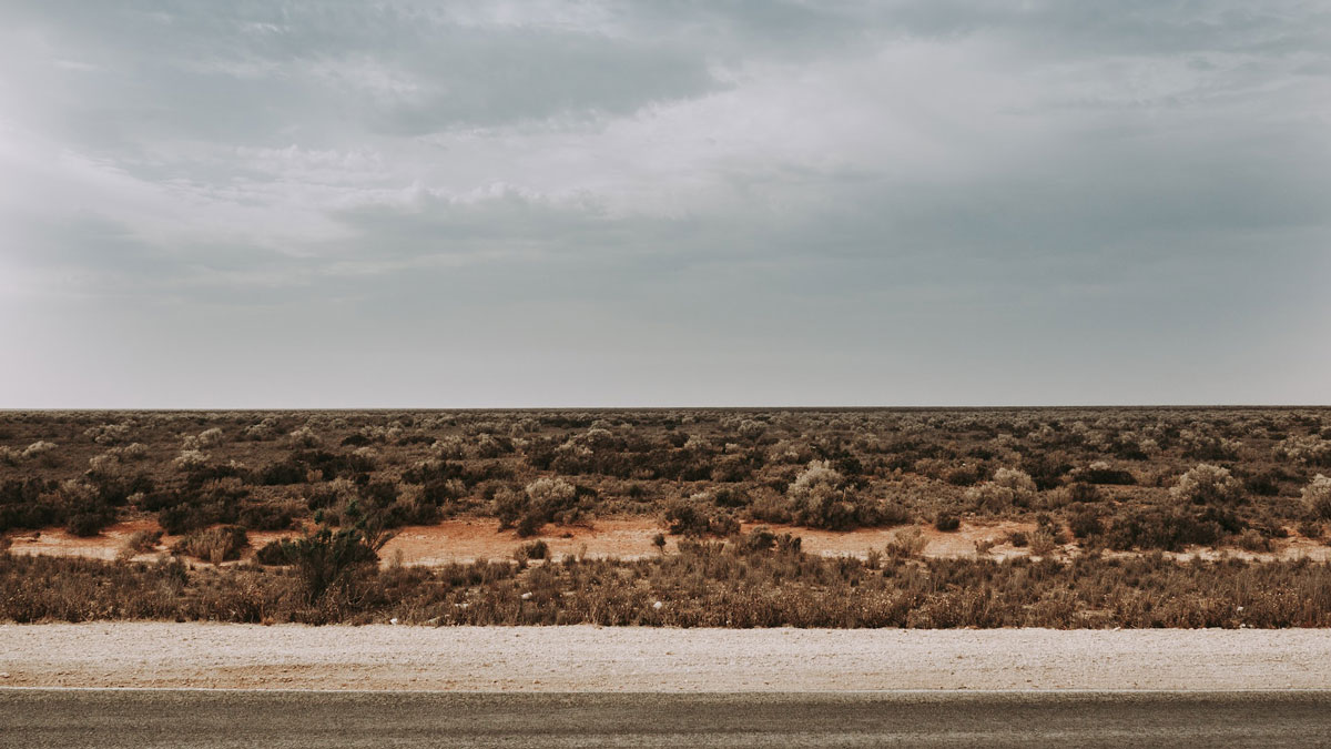
A Mysterious Dome Reveals Clues to Australia’s Miocene History

by Nathaniel Scharping 17 October 202217 February 2023

The Nullarbor Plain has been relatively untouched by geological forces, leaving traces of the continent’s deep past.

Roman ruins in the ancient city of Volubilis, Morocco
Posted inNews

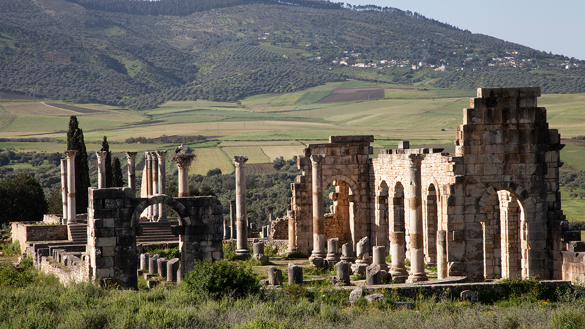
Roman-Era Millstone and Mixer Makers Knew Their Rocks

by Carolyn Wilke 18 November 202128 March 2023

The geochemistry of basalt millstones and mixers from the city of Volubilis suggests a local origin—and that rocks were picked for specific purposes, from crushing olives to mixing dough.

Map of Kentucky showing indoor radon potential
Posted inNews

Detailed Geologic Mapping Helps Identify Health Hazards

Sarah Derouin, Science Writer by Sarah Derouin 27 July 202113 October 2022

A team of geologists and nursing researchers created an interactive radon hazard map for Kentucky residents—and it was possible only because of the high-resolution bedrock mapping in the state.

Looking out from inside Lower Antelope Canyon, with the sky near the top of the frame. Characteristic layering in the sandstone is visible.
Posted inResearch Spotlights

The First Angstrom-Scale View of Weathering

Kate Wheeling, freelance science writer by Kate Wheeling 15 March 202113 October 2022

Researchers observe how water vapor and liquid alter sedimentary rocks through physical and chemical processes.

A roadcut in Kentucky reveals layers of Camp Nelson Limestone
Posted inResearch Spotlights

Certain Rock Formations Can Lead to In-Home Radon Risks

Aaron Sidder, freelance science writer by Aaron Sidder 11 December 202013 September 2025

Researchers in Kentucky have merged results from home test kits with the state’s geologic map to produce a map of indoor radon potential based on the geology underlying homes in the state.

Posts pagination

1 2 Older posts
A view of a bridge, with the New Orleans skyline visible in the distance between the bridge and the water. A purple tint, a teal curved line representing a river, and the text “#AGU25 coverage from Eos” overlie the photo.

Features from AGU Publications

Research Spotlights

Watershed Sustainability Project Centers Place-Based Research

4 December 20254 December 2025
Editors' Highlights

Changes in Slab Dip Cause Rapid Changes in Plate Motion

4 December 20252 December 2025
Editors' Vox

Hydrothermal Circulation and Its Impact on the Earth System

3 December 20253 December 2025
Eos logo at left; AGU logo at right

About Eos
ENGAGE
Awards
Contact

Advertise
Submit
Career Center
Sitemap

© 2025 American Geophysical Union. All rights reserved Powered by Newspack