

Samuel E. Muñoz, “Prioritizing Quality Before Synthesis in Paleoenvironmental Hazard Science”
EARTH SCIENCE ARCHIVE

Seeking Closure to Better Understand Earth’s Energy Balance and Water Resources
Accounting for the total energy budget of Earth’s ecosystems has real-world implications for water resource management, land use policy, and monitoring of crop conditions.
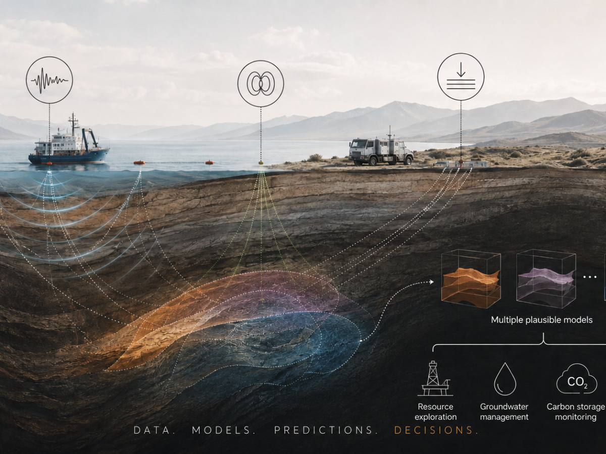
How Can We Make Better Decisions About What Lies Underground?
Geophysical data offer incomplete clues about the subsurface. Bayesian inversion turns them into plausible scenarios and shows which uncertainties matter for real-world decisions.
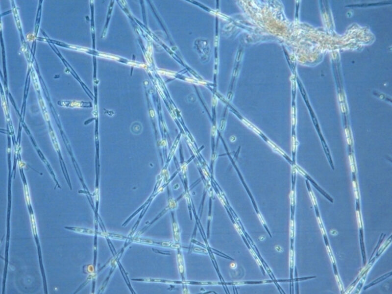
Wastewater Can Take Harmful Algal Blooms from Bad to Worse
By modeling toxic diatoms and coastal processes, scientists have discovered the degree to which nutrients from Southern California’s densely populated coast affect these blooms.
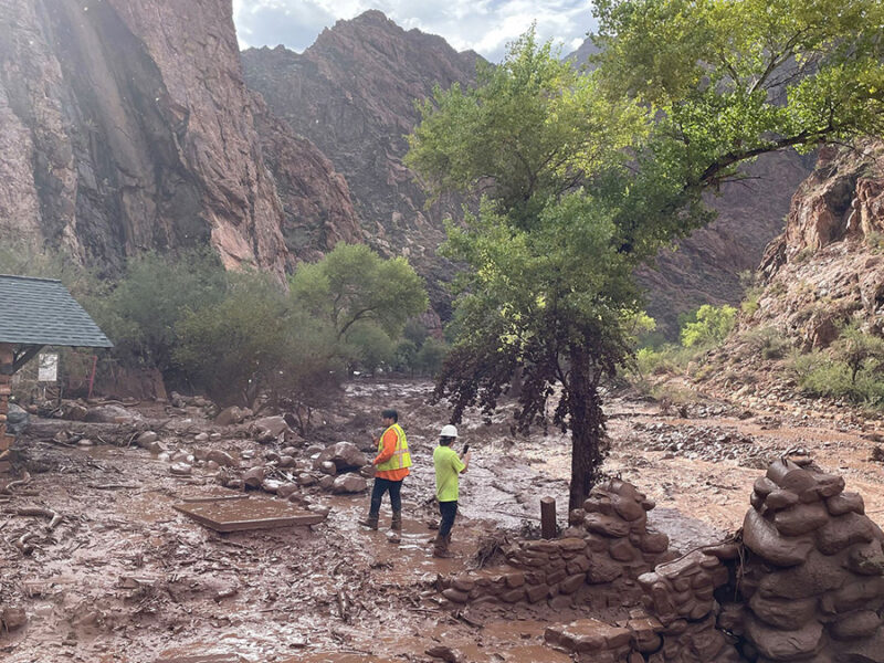
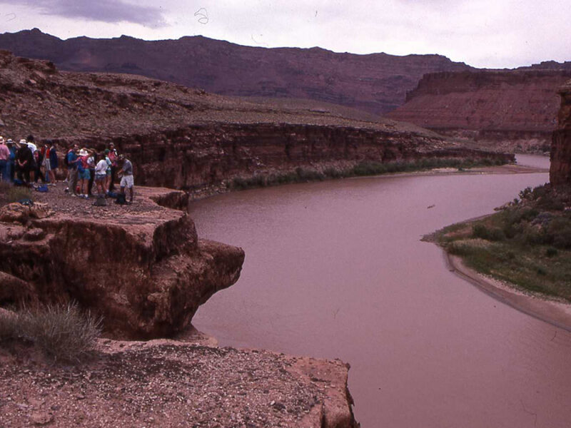
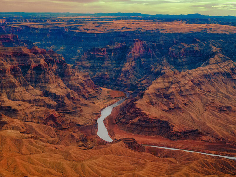
Why Did the Grand Canyon Flood?
Last weekend, flash flooding in the Grand Canyon killed two, left one missing, and forced dozens to evacuate. On Monday, the National Park Service shared that approximately 40% of the Transcanyon Waterline—the national park’s only water pipeline—had been damaged or destroyed.
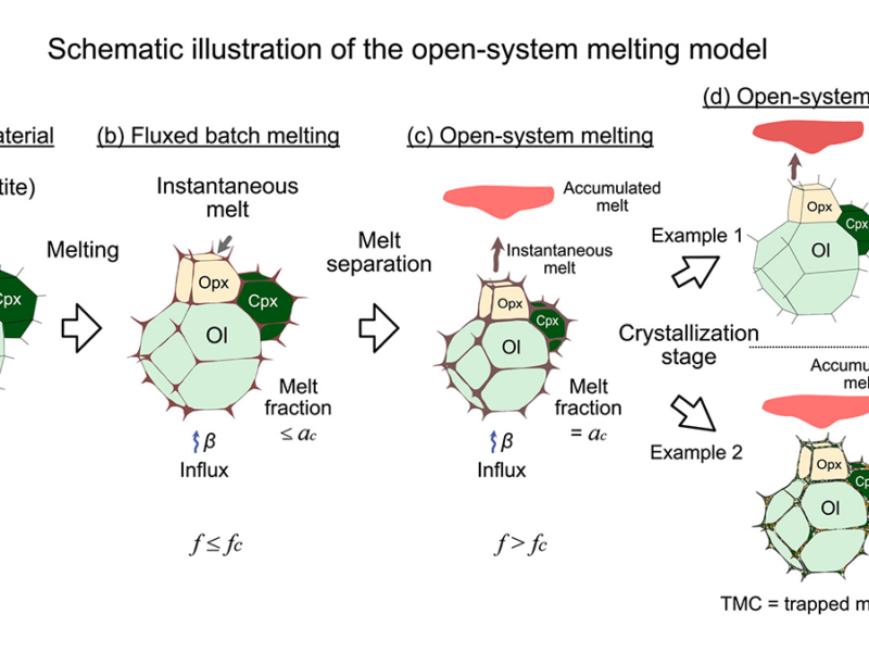
User-Friendly Interface for Trace Element Open-System Melting Model
A 2001 model predicts trace element distributions in melts and residues of open-system mantle melting and melt migration. New software lets anyone apply this model despite its complex equations.
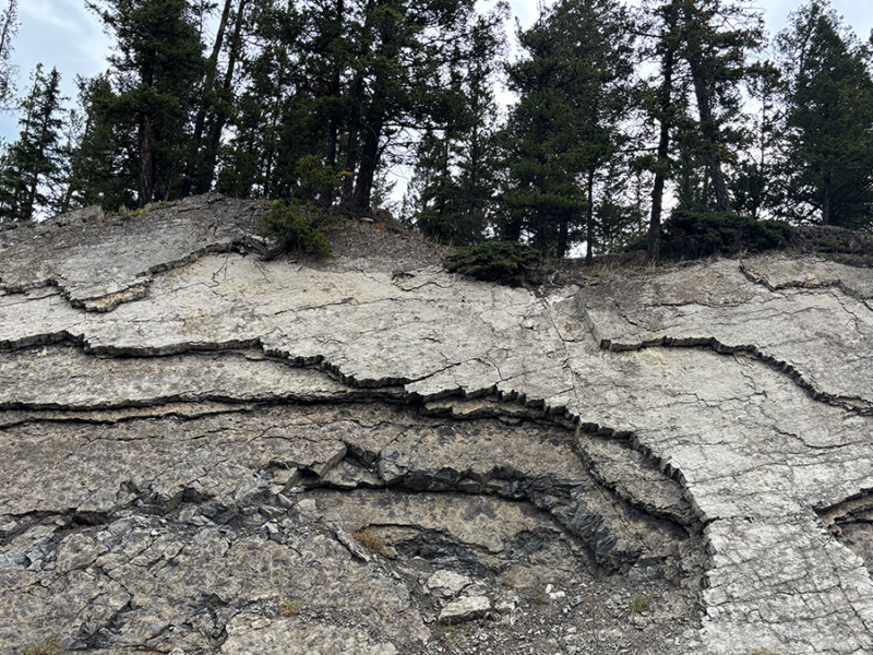
Decoding Rocks to Reveal What the Critical Zone Hides
Rock physics models translate geophysical measurements into volumetric rock and fluid properties to quantify weathering trends, water storage, and architecture within Earth’s critical zone.
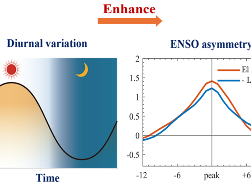
厄尔尼诺的增温效应强于拉尼娜的降温效应。如何准确模拟这种不对称性?
一项新研究分析了海表温度的每日波动,以期获得新的见解。
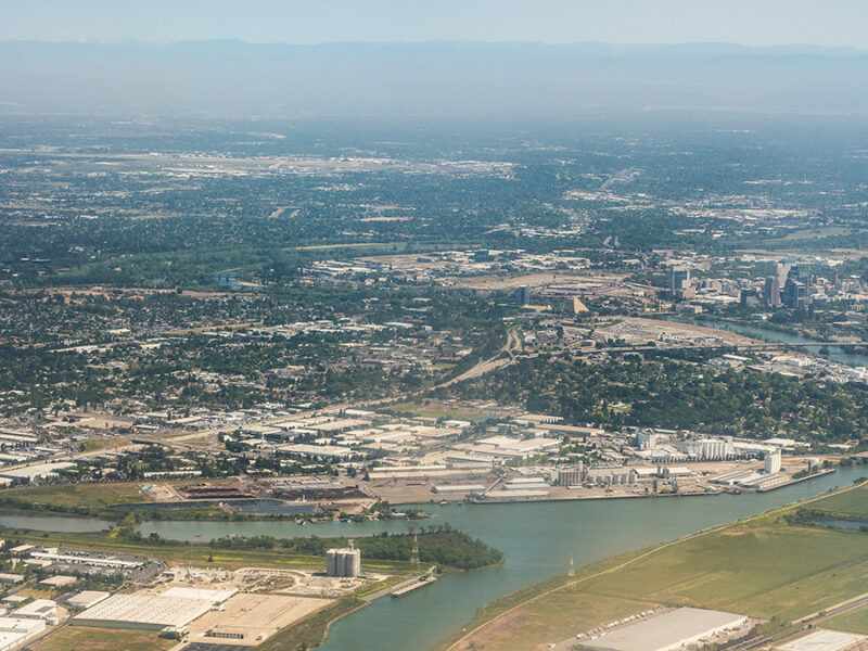
California’s Drought Irreversibly Damaged Sacramento Valley Aquifers
Satellite data have revealed an abrupt drop in aquifers’ ability to recharge after the 2020–2022 drought. More real-time monitoring could spot the issue before it arises again.
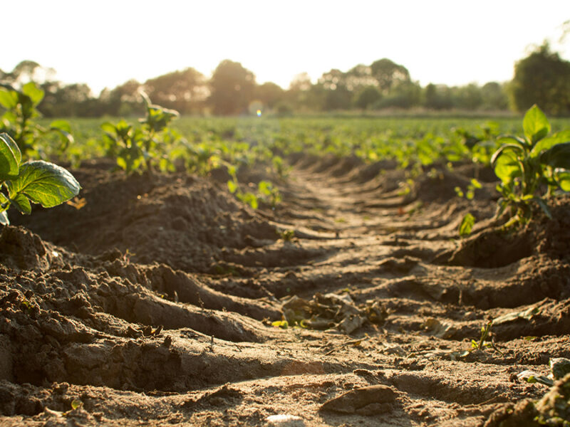
It Takes Three to Model Methane Right
By combining conventional process-based and atmospheric inversion modeling with machine learning, scientists home in on a more realistic methane model.
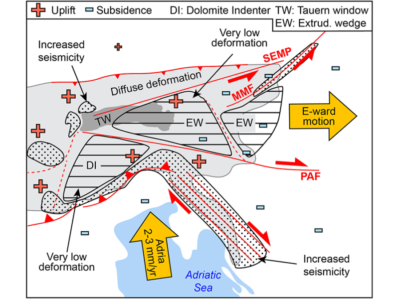
Tectonics and Deglaciation Govern Eastern-Southern Alps at Slow Rates
Transnational, multiproxy, and interdisciplinary datasets locate seismic hazard and show that slow-rate tectonic and deglaciation deformation overrate mantle processes in the Southern-Eastern Alps.
Something went wrong. Please refresh the page and/or try again.