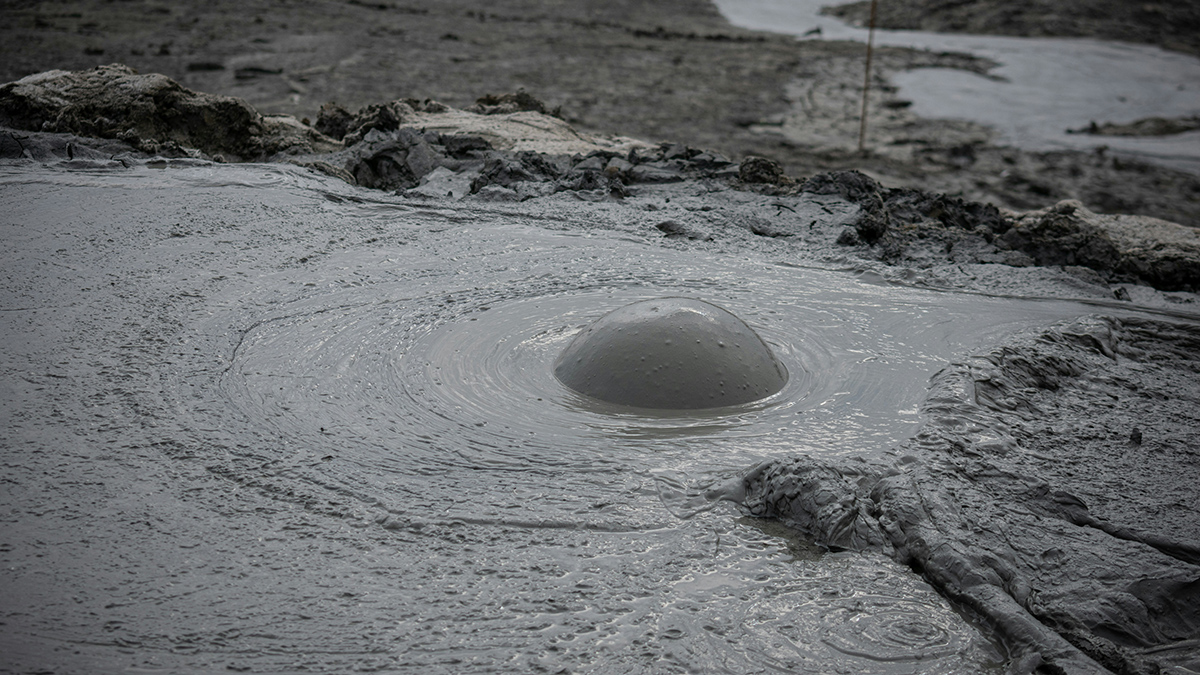
Mud volcanoes may be less imposing and less familiar than their distant cousins, lava volcanoes, but they come with hazards of their own, and their presence can signal hidden geologic processes shaping a landscape.
A team of geologists has now made a global map of submarine mud volcanoes, which they hope will help further the understanding of these little-known landforms. The study, published earlier this year in Scientific Data, mapped more than a thousand mud volcanoes in shallow seas. A million more may sit undiscovered deep in the world’s oceans.
No one had put all the mapped mud volcanoes in a single dataset until now, said study author Daniele Spatola, a marine geologist at Sapienza Università di Roma. Patterns that Spatola and his colleagues spotted in the dataset were published in another study appearing in the Journal of Marine Science and Engineering.
Hazards and Emissions
Mud volcanoes erupt when the pressure of gas trapped in rock becomes so strong that the rock is not able to hold it anymore, Spatola explained. Instead of lava, mud volcanoes spew a mix of gas, sediment, dissolved minerals, organic matter, water, and other fluids.
Fields of mud volcanoes are found in different geologic settings around the world, including in oil and gas fields, above mantle hot spots, near active faults, and at the edge of tectonic plates. Their presence and activity can give scientists important clues about tectonic and volcanic activity, said Nils Asp, a marine geologist at the Universidade Federal do Pará in northern Brazil who was not involved in the research.
“Mud volcanoes can be really dangerous.”
The unstable ground mud volcanoes create can put oil rigs, telecom cables, and other subsurface infrastructure at risk. “Mud volcanoes can be really dangerous,” Spatola said, particularly those on land.
They are also a not-insignificant source of methane and can also spew oxide-rich material and gases like carbon dioxide. “Carbon balances and climate models don’t take these emissions into account, and locally, they can be a problem in terms of increasing water acidity,” Asp said.
Having a global inventory of what submarine mud volcanoes look like and where they occur could help scientists estimate how much methane is bubbling through these vents and reveal where hazards lie.
Digging Through Records
Spatola and his colleagues gathered data from earlier published studies for roughly 1,100 submarine mud volcanoes—the majority in water no deeper than about 200 meters (650 feet). For 700 of them, the researchers either had full size, shape, and location information or had location information and were able to estimate geometry.
From these data, Spatola’s team created a freely available and downloadable database.
Most of the mud volcanoes in the database (65%) are located in the Mediterranean Sea. This distribution may reflect sampling bias, according to the authors. Areas in the eastern Mediterranean are often prospected for oil and gas, for example, and had more data available for the researchers to mine.
Other regions are less well mapped. “Probably, the number of mud volcanoes in the Atlantic is higher than what [appears in] the database, for example,” Spatola said.
Roughly 60% of mud volcanoes in the database are medium sized, with an area of 0.5–9 square kilometers. Small (<0.5 square kilometer) and large (>9 square kilometers) volcanoes together make up less than a third of the mapped volcanoes.
Giant mud volcanoes (defined as those covering an area larger than 20 square kilometers) are the rarest features in the database, making up about 4.5% of the mapped and classified total. Most of the very large or giant mud volcanoes are found in an area southeast of Japan where the Pacific and Philippine tectonic plates meet.
An initial analysis of the database showed that the more small-sized volcanoes a region has, the fewer large or giant volcanoes there are. This kind of pattern, known as a power law, is recognizable in many geologic processes, including earthquake distribution. The researchers also found that the size of a mud volcano is not necessarily related to how deep it sits below the sea surface.
The database could help inform regional health and safety measures, the study suggests, as the morphology of a mud volcano influences its geohazard potential. Tall and narrow volcanoes, for instance, are the most hazardous because they are more prone to instability.
Deep Challenges
Asp said that the database is “a solid starting point to be extended upon in further studies.”
Researchers don’t know how many submarine mud volcanoes there are because only a small portion of the ocean floor has been mapped.
“We need the help of the scientific community to improve this dataset. The more information we put into it, the better it will be.”
“In many areas, there might be a dozen kilometers of distance between one mapped stretch and another,” Asp said. “So we have no information of what is in that [unmapped] part of the seafloor.”
Some satellite imagery can penetrate a few dozen meters below the surface but not the deep ocean floor. To look that deep, marine researchers need ships capable of bathymetric mapping, but such instrumentation, including sonar and lidar equipment, is often prohibitively expensive.
The new study is a first attempt to create a database of submarine mud volcanoes, one that can be refined as more data are contributed. “We need the help of the scientific community to improve this dataset,” said Spatola. “The more information we put into it, the better it will be.”
—Meghie Rodrigues (@meghier.bsky.social), Science Writer