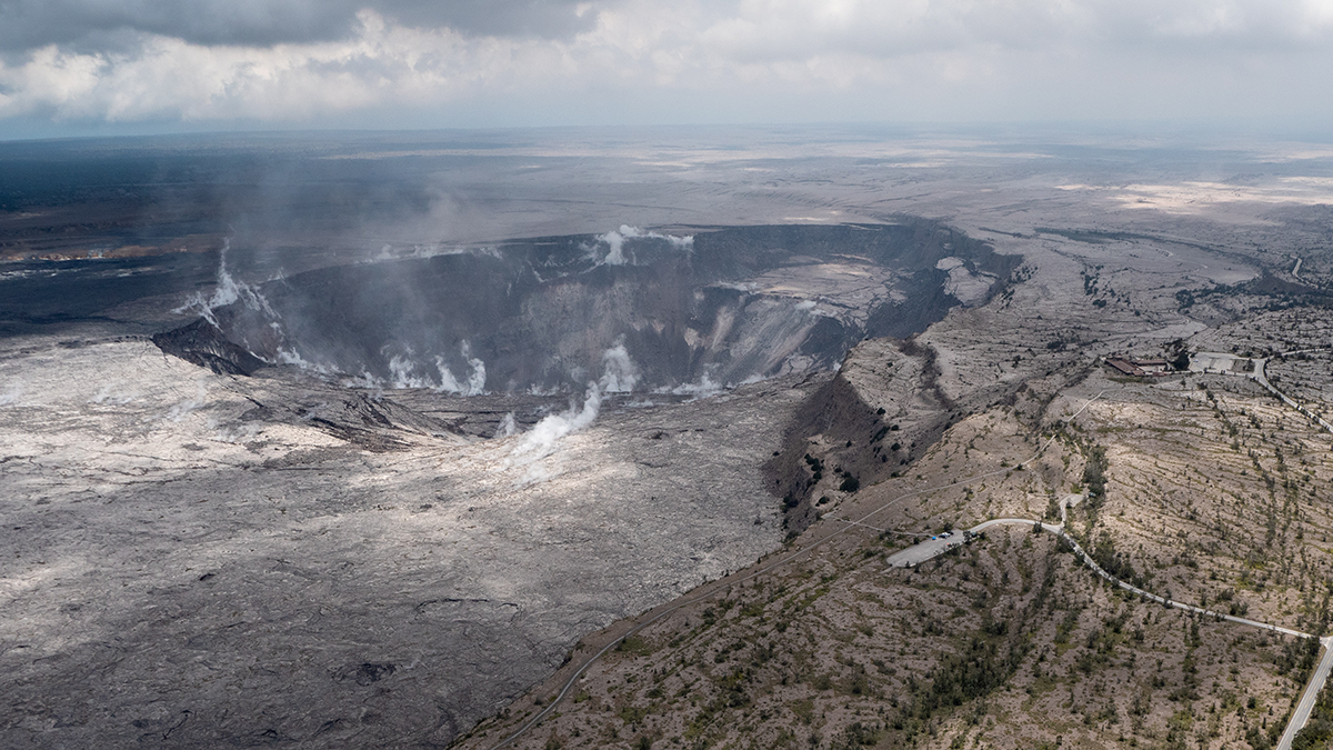
The uplift, several centimeters in magnitude, is likely caused by water pooling in the mountain’s shallow aquifers. The effect is shorter lived than deformation caused by magmatic activity.
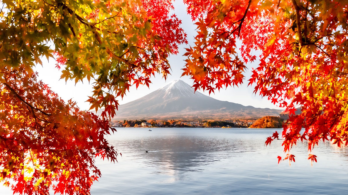
geomorphology
Posted inNews
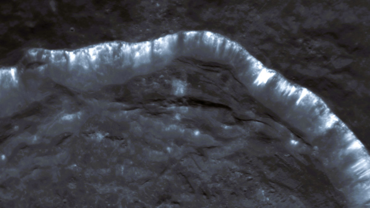
Oozing Gas Could Be Making Stripes in Mercury’s Craters
Scientists are using new computational tools to analyze troves of old spacecraft data to better understand one of Mercury’s unsolved mysteries.
Posted inNews
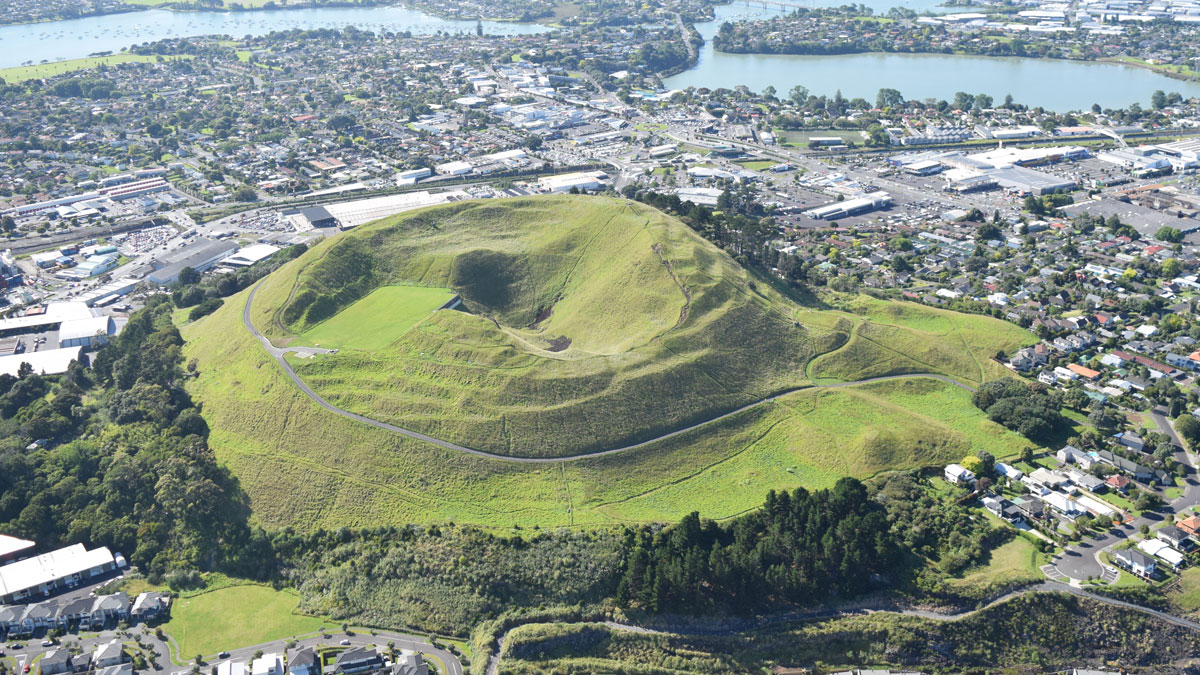
“Passion Project” Reveals Auckland’s Hidden Urban Faults
An innovative analysis has identified 10 likely and 25 possible faults in the region.

Posted inThe Landslide Blog
The inflow angle and channel gradient for large landslides
A new paper (Kharismalatri, Gomi & Sidle 2025) in the journal Natural Hazards uses the concepts of the inflow angle and the channel gradient to examine the behaviour of large landslides after failure. Large landslides in areas with steep terrain that either block the valley or turn into a long runout debris flows are an […]
Posted inNews
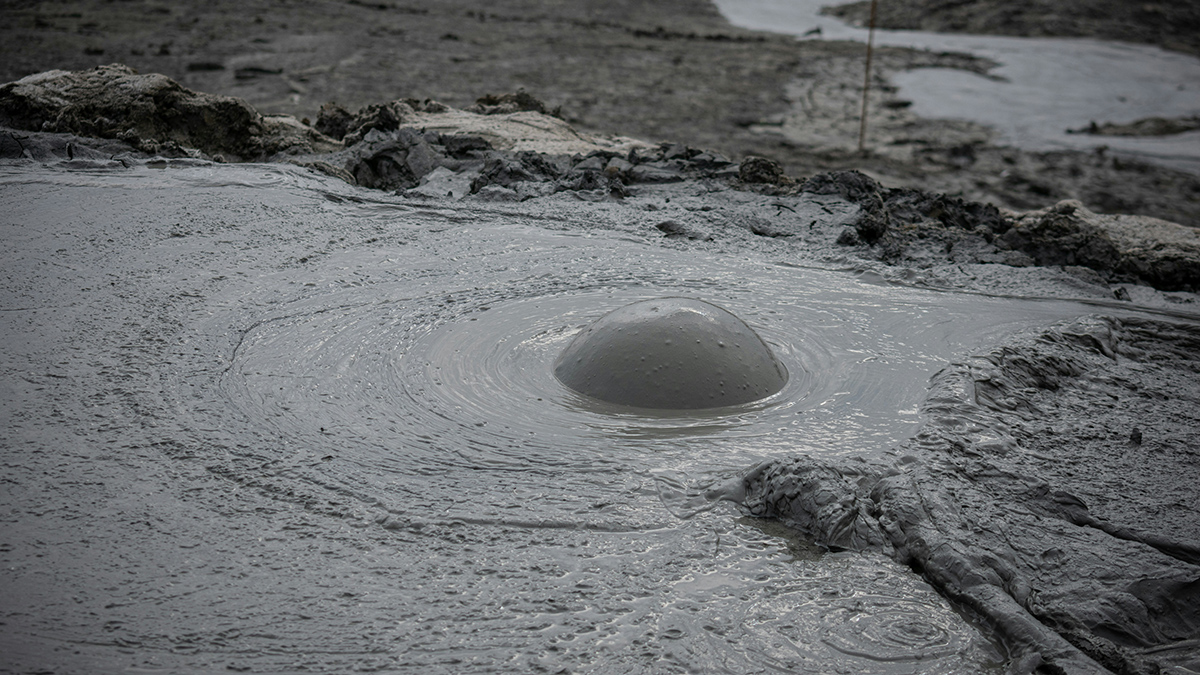
Mapping Mud Volcanoes in Shallow Seas
A team of scientists put together a global database of submarine mud volcanoes. Orders of magnitude more are still bubbling, undiscovered, in the deep ocean.
Posted inEditors' Vox
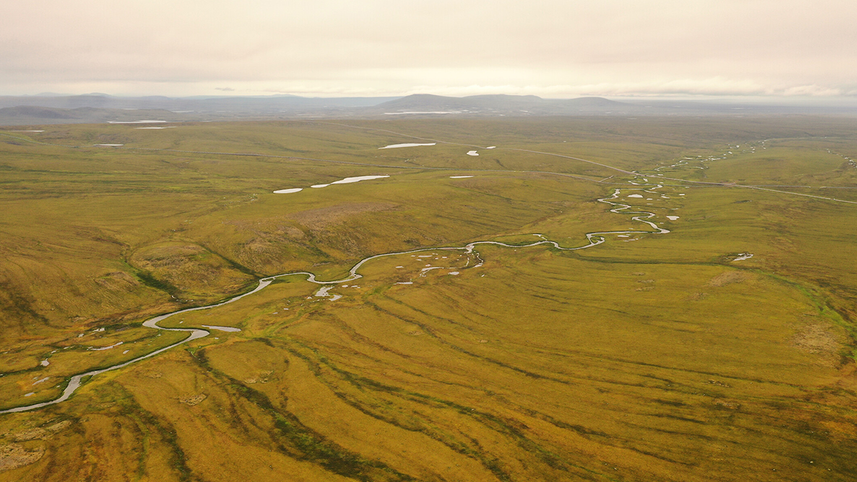
Water Tracks: The Veins of Thawing Landscapes
Tracing and tracking change in permafrost flowpaths could reveal the dynamics of warming poles.
Posted inEditors' Vox
Rising Concerns of Climate Extremes and Land Subsidence Impacts
Increasing interplay among extreme events and land subsidence impacts calls for urgent mitigation and policy action to reduce detrimental ramifications to infrastructure and people.
Posted inEditors' Highlights
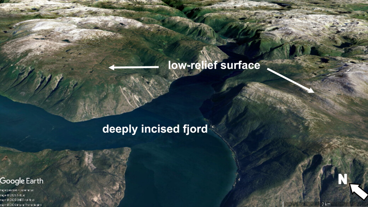
High Relief, Low Relief — Glaciers Do It All
Contrary to conventional wisdom that glaciers just carve landscapes, they can also form low-relief surfaces by sheltering rock from erosion, enriching understanding of how mountain landscapes evolve.

Posted inNews
Investigadores cuantifican el impacto de los animales en la transformación de la Tierra
Los animales salvajes utilizan 76,000 gigajulios de energía—el equivalente a cientos de miles de monzones o inundaciones—moldeando los ecosistemas terrestres y de agua dulce de nuestro planeta.