
Volcanic ground deformation is not simply correlated with erupted volume. Researchers propose that high concentrations of magmatic volatiles make systems more compressible and suppress deformation.
volcanoes

Posted inEditors' Highlights
Tonga Volcanic Eruption Produced Ionospheric Hole and ‘Bubbles’
The 2022 Tonga volcano eruption altered the global ionosphere, creating a huge ionospheric hole locally near the epicenter and large-amplitude plasma bubbles remotely over the Asia-Oceania area.

Posted inNews
A Spike in Wildfires Contributed to the End-Permian Extinction
An upward trend in fossilized charcoal indicates that wildfires may have contributed to extinctions during the Great Dying.
Posted inNews
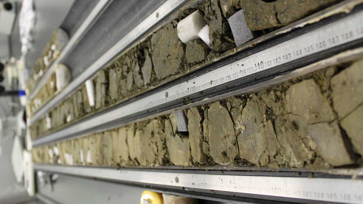
Stretching Crust Explains Earth’s 170,000-Year-Long Heat Wave
During a brief period in Earth’s past, a massive emission of carbon abruptly raised global temperatures, acidified oceans, and stamped out species. New data may help explain how it happened.
Posted inNews
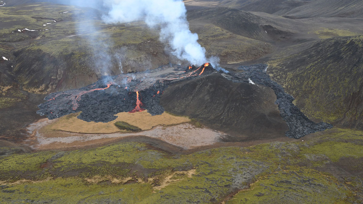
Mapping a Volcanic Eruption in the Backyard of Iceland’s Capital
Researchers used satellites and aerial data to create regularly updated maps of the Fagradalsfjall eruption for both the public and disaster response agencies.

Posted inENGAGE, News
Roosters, S’mores, and #EmergencyCute: A Humor-in-Crisis How-To
When natural hazards strike communities, we may not think science agencies should respond with humor. Researchers suggest that sometimes, however, humor can connect communities and bring smiles.
Posted inNews
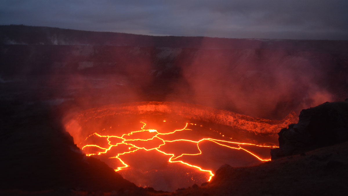
Volcanic Lava Lake Belts Out Its Secrets in Seismic “Songs”
A cacophony of magma displacements and volcanic gases recorded underneath Kīlauea’s roiling lake of lava could one day provide information to help predict future eruptions.
Posted inEditors' Vox
Dynamics of Volcanic Processes
A new cross-journal special collection invites contributions on modern approaches used to investigate dynamics of volcanic processes.

Posted inEditors' Highlights
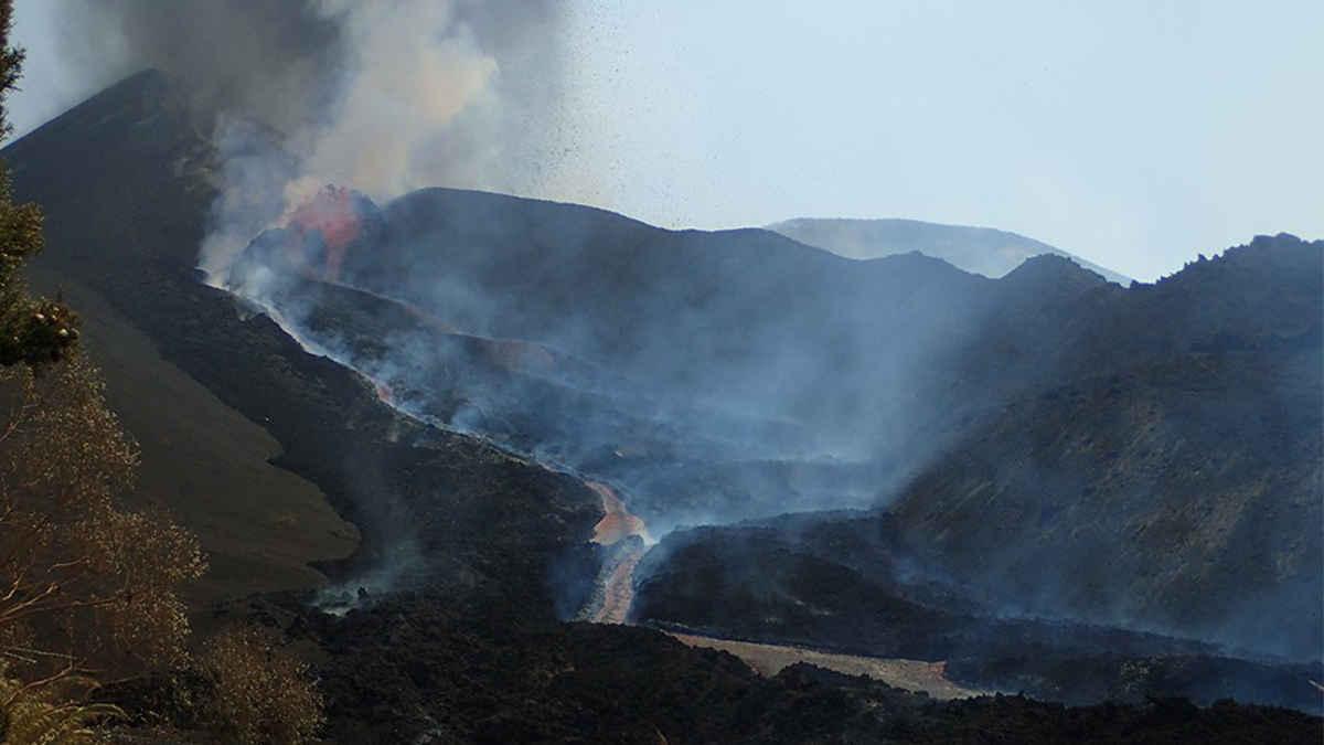
Volcanic Creation and Destruction of Temporary Tephra Storage
Pyroclastic density currents (PDCs) are a major threat during an explosive volcanic eruption. A new study shows that loose tephra accumulations on volcanic slopes tend to re-mobilize rapidly.
Posted inAGU News
Adventure Time
In our July issue, we tell the tales of Earth and space scientists as they venture into the field and lab to gather critical data.