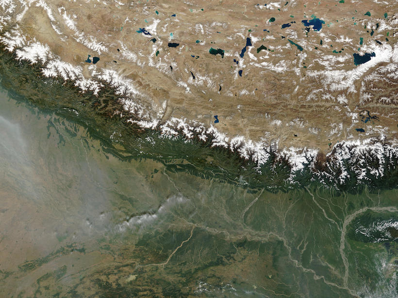
New research suggests an atmospheric connection between Arctic sea ice melt and anthropogenic aerosol pollution over the Tibetan Plateau.
News
Posted inNews
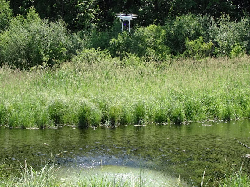
Taking an Aerial View Underground
Wisconsin geologists are testing using drones equipped with thermal cameras to measure shallow soil depths in areas prone to groundwater contamination.

Posted inNews
Scientists Claim a More Accurate Method of Predicting Solar Flares
Supercomputer 3D modeling of magnetic fields could help mitigate damage from geomagnetic storms.

Posted inNews
Earthquakes Reveal How Quickly the Ocean Is Warming
By timing sound waves set in motion by earthquakes, scientists have estimated that the Indian Ocean is warming by roughly 0.044 K per decade.
Posted inNews
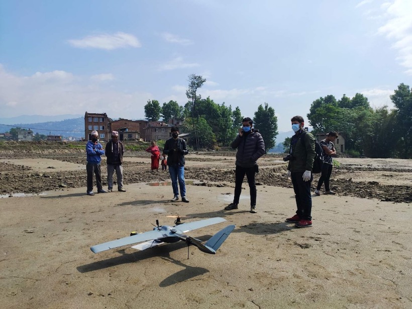
COVID Clears the Skies for Earth-Observing Drones in Nepal
When the pandemic hit Nepal and the country’s main airport drastically cut flights, a group of drone experts, local governments, and scientists saw a once-in-a-lifetime opportunity to gather geodata.

Posted inNews
Climate Change May Shift Coral Population Dynamics
New paleoceanographic research indicates that warming waters may contribute to fewer coral reefs but to a flourishing presence of soft-bodied corals.

Posted inNews
More Gas Wells Linked to More Symptoms in Pennsylvania Residents
Natural gas production has been booming in southwestern Pennsylvania, but it may also yield multiple health complaints, especially for residents surrounded by oil and gas facilities.

Posted inNews
Leaded Soil Endangers Residents in New York Neighborhoods
New research documents dangerously high levels of lead in the soils of New York City parks and growing communities.
Posted inNews
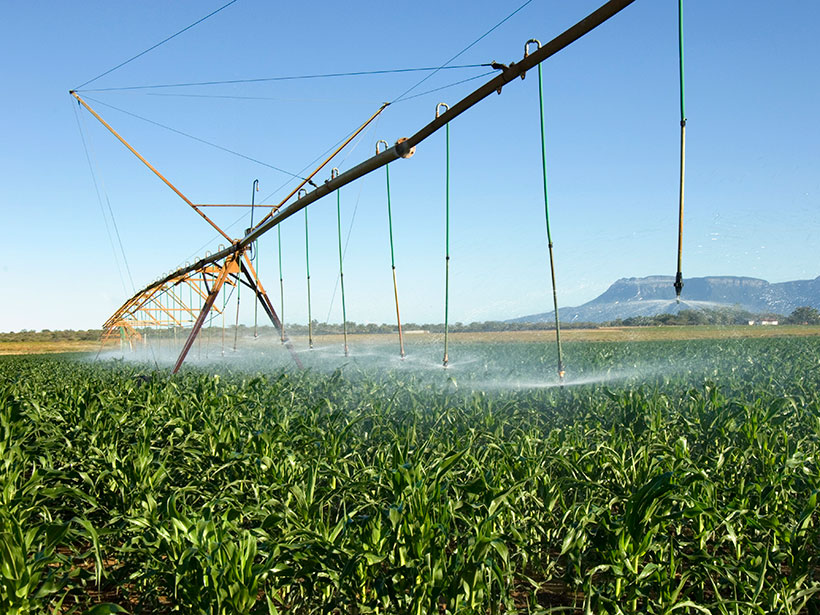
Minireservorios Podrían Salvar a Agricultores con Suelos Arenosos
Una tecnología de retención de agua subterránea recientemente reactivada podría conservar el agua y aumentar drásticamente el rendimiento de los cultivos en paisajes áridos con suelos arenosos como el África Subsahariana.

Posted inNews
Five Science Questions That Ought to Be Asked at the Debates
Journalists, moderators, and the public have an important opportunity to question the presidential and vice presidential candidates in the upcoming TV debates.