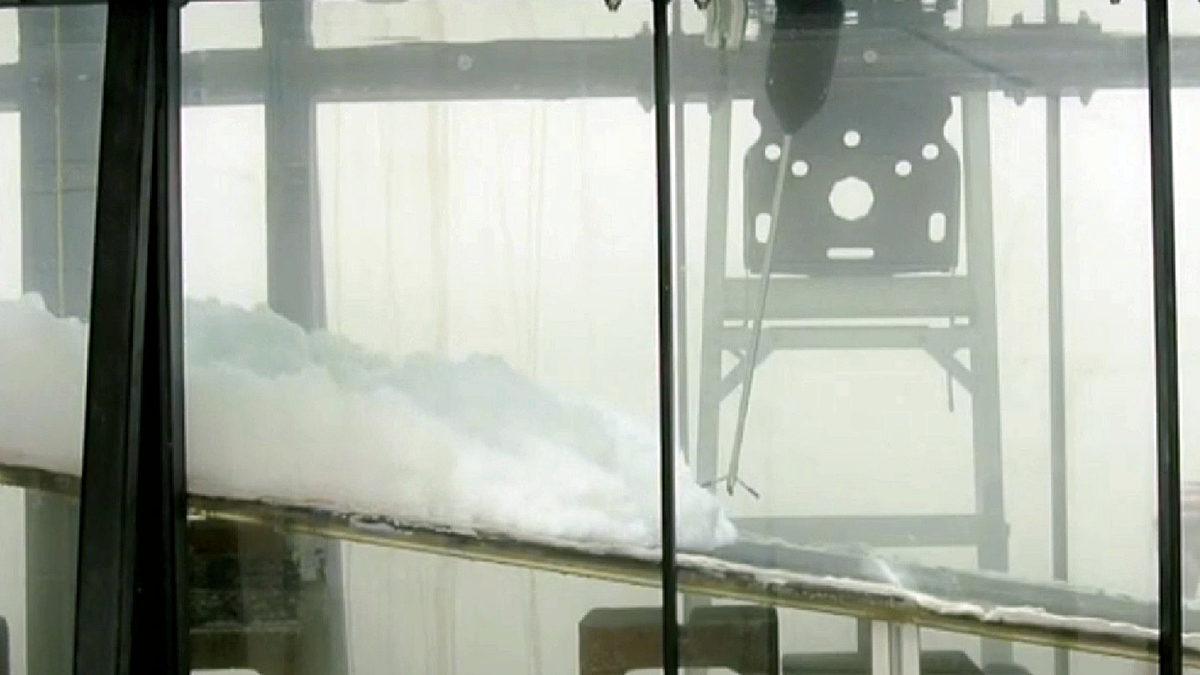
Laboratory experiments reveal that gravity wave-turbidity current interactions (combined flows) can enhance sediment transport to the deep ocean.
Enrica Viparelli
Associate Editor, JGR: Earth Surface
Posted inEditors' Highlights
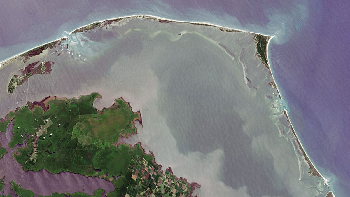
What’s Under the Water Matters
The fate of barrier islands in presence of sea level rise depends on their underwater shape.
Posted inEditors' Highlights
Going Through a Rough Patch: Modeling Sediment Moving in Rivers
Irregularities of the rocky surface due to bumps and sediment patches are key to capturing the movement of sediment grains in rivers.

Posted inEditors' Highlights
Modeling Braided Rivers in Presence of Exotic Weeds and Dams
Numerical modeling can help with identifying the combined effects of weed growth, flood frequency, and magnitude on gravel bed rivers.