
Researchers identify a new mechanism that allows avalanches containing a mixture of rock and ice to travel very long distances.
Mikaël Attal
Associate Editor, JGR: Earth Surface
Posted inEditors' Highlights
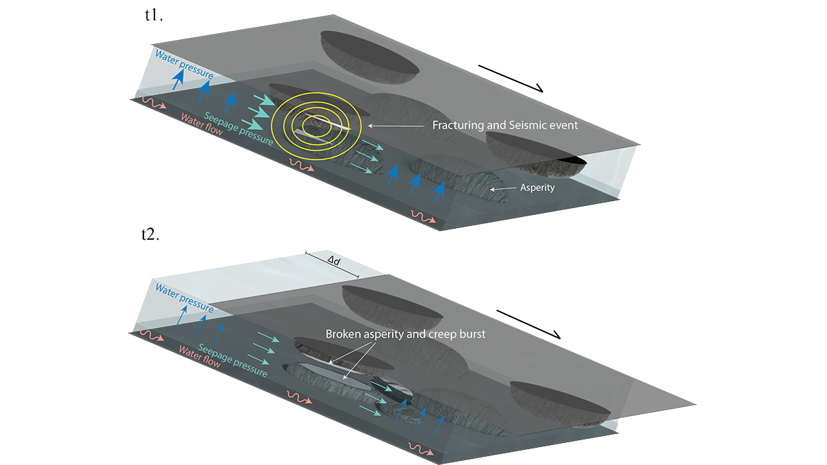
Will It Run Away? Documenting Creep Bursts in a Slow-Moving Landslide
After 11-years of monitoring a slow-moving landslide and its shear zone in Norway, scientists reveal a complex pattern of creep bursts that require a rethink of the driving mechanisms.

Posted inEditors' Highlights
Elementary, My Dear: Al & Be Give Evidence of Past Climate Change
10Be and 26Al concentrations in river sand reveal an increase in erosion rate in the Brazilian Highlands consistent with the Mid-Pleistocene Transition, a major climatic shift that occurred about 1 million years ago.
Posted inEditors' Highlights
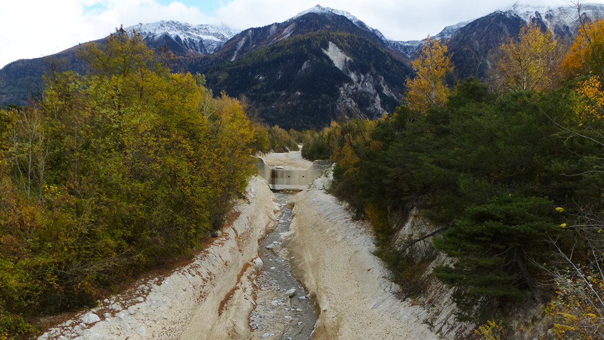
Counting from One to Nine to Detect Debris Flows
A groundbreaking method using Benford’s law allows the detection of debris flows from seismic signals.
Posted inEditors' Highlights
Going Through a Rough Patch: Modeling Sediment Moving in Rivers
Irregularities of the rocky surface due to bumps and sediment patches are key to capturing the movement of sediment grains in rivers.
Posted inEditors' Highlights
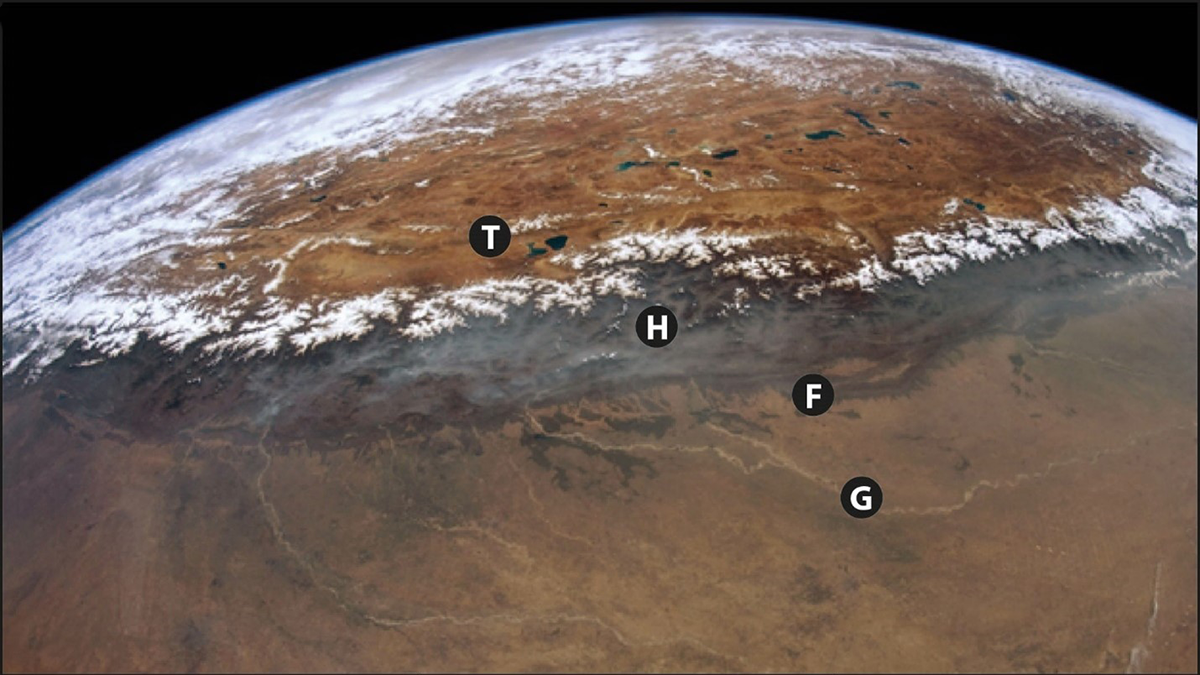
How Good a Recycler is the Himalaya?
Researchers use sediment recycling to their advantage to calculate how fast the hills at the front of the Himalaya are eroding based on the concentration of rare elements in river sands.
Posted inEditors' Highlights
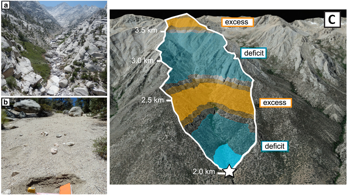
Revealing a Catchment’s Erosional Secrets: Grain Size Matters
A provenance study with 699 new samples from 12 different sediment grain sizes (from sand to boulder) shows that each fraction originates from distinct parts of a mountain catchment in California.
Posted inEditors' Highlights
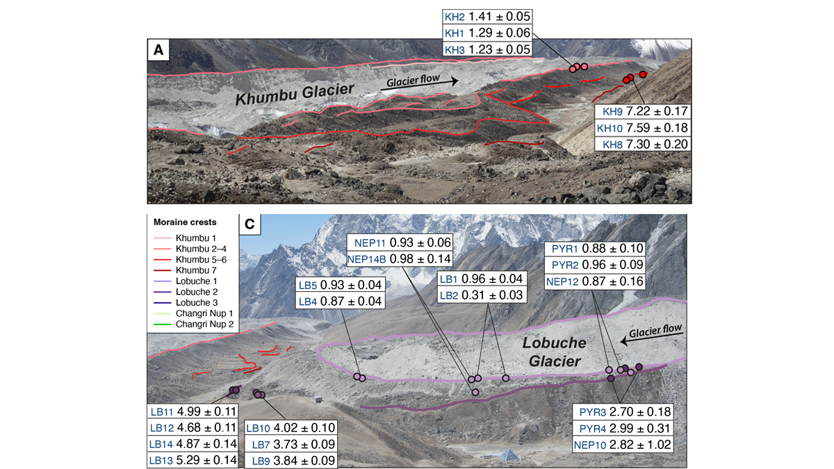
Glacier Advance and Retreat: Insights From the Top of the World
New dating of glacial features reveals predictable glacier behavior in response to climate warming and cooling in the Everest region in the past 8,000 years.
Posted inEditors' Highlights
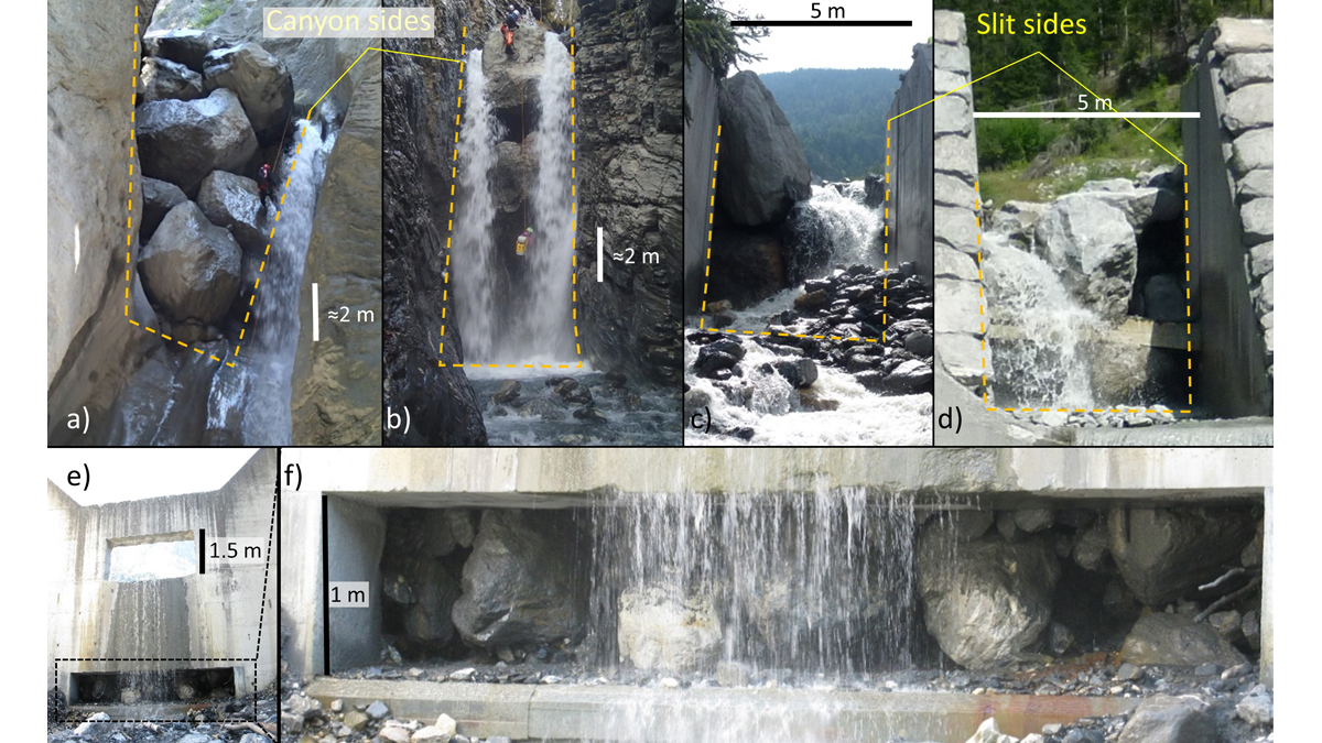
Good or Bad Jam? Modeling Boulders’ Fate at Constrictions
A new modeling framework to assess the likelihood of jamming at constrictions can be used to support the design of effective mitigation measures and reduce risk in debris flow prone areas.

Posted inEditors' Highlights
Running Water on Topographic Data to Better Delineate Channels
Two-dimensional hydraulic simulations are a powerful tool to identify process domains such as channels, hillslopes, and floodplains in high-resolution topographic data.