• About
  • Special Reports
  • Topics
    • Climate
    • Earth Science
    • Oceans
    • Space & Planets
    • Health & Ecosystems
    • Culture & Policy
    • Education & Careers
    • Opinions
  • Projects
    • Postcards From the Field
    • ENGAGE
    • Editors’ Highlights
    • Editors’ Vox
    • Eos en Español
    • Eos 简体中文版
    • Print Archive: 2015–2025
  • Policy Tracker
  • Blogs
    • Research & Developments
    • The Landslide Blog
  • Newsletter
  • Submit to Eos
  • AGU.org
  • Career Center
  • Join AGU
  • Give to AGU
  • About
  • Special Reports
  • Topics
    • Climate
    • Earth Science
    • Oceans
    • Space & Planets
    • Health & Ecosystems
    • Culture & Policy
    • Education & Careers
    • Opinions
  • Projects
    • Postcards From the Field
    • ENGAGE
    • Editors’ Highlights
    • Editors’ Vox
    • Eos en Español
    • Eos 简体中文版
    • Print Archive: 2015–2025
  • Policy Tracker
  • Blogs
    • Research & Developments
    • The Landslide Blog
  • Newsletter
  • Submit to Eos
Skip to content
  • AGU.org
  • Career Center
  • Join AGU
  • Give to AGU
Eos

Eos

Science News by AGU

Support Eos
Sign Up for Newsletter
  • About
  • Special Reports
  • Topics
    • Climate
    • Earth Science
    • Oceans
    • Space & Planets
    • Health & Ecosystems
    • Culture & Policy
    • Education & Careers
    • Opinions
  • Projects
    • Postcards From the Field
    • ENGAGE
    • Editors’ Highlights
    • Editors’ Vox
    • Eos en Español
    • Eos 简体中文版
    • Print Archive: 2015–2025
  • Policy Tracker
  • Blogs
    • Research & Developments
    • The Landslide Blog
  • Newsletter
  • Submit to Eos

Nathaniel Scharping

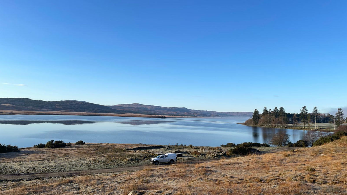
A lake, surrounded by low hills and trees, is overlooked from a nearby hill. In the mid-ground, a white truck drives across the frame.
Posted inResearch Spotlights

New 3D Model Reveals Geophysical Structures Beneath Britain

by Nathaniel Scharping 10 October 202510 October 2025

Using magnetotelluric data to identify subsurface electrically conductive and resistive areas, scientists can identify underground features and predict how space weather may affect infrastructure.

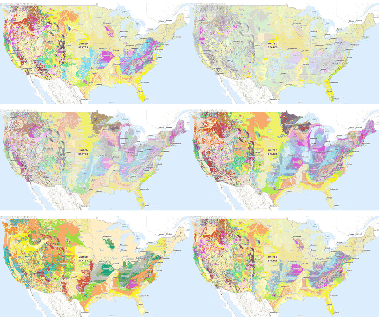
Animation of the Cooperative National Geologic Map from the USGS
Posted inNews

New USGS Map Offers an Interactive Look at the Rocks Beneath Our Feet

by Nathaniel Scharping 26 September 202526 September 2025

The Cooperative National Geologic Map is an interactive tool that builds on both cutting-edge technology and decades of mapping by geoscientists.
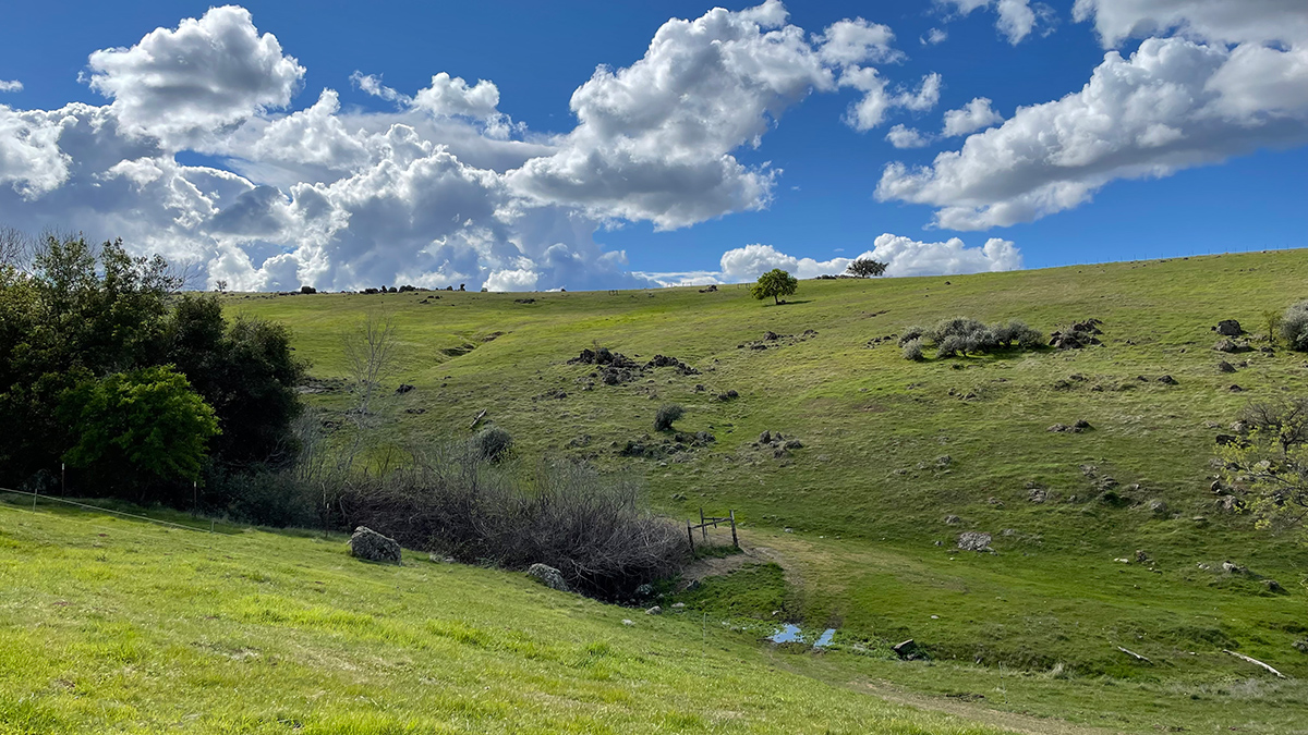
Fluffy clouds float in a blue sky over a grassy hill
Posted inResearch Spotlights

Compost and Biochar Could Boost Carbon Sequestration by Crushed Rock

by Nathaniel Scharping 22 April 202522 April 2025

Crushed rock additives may also help decrease soil emissions of other greenhouse gases, such as nitrous oxide and methane.
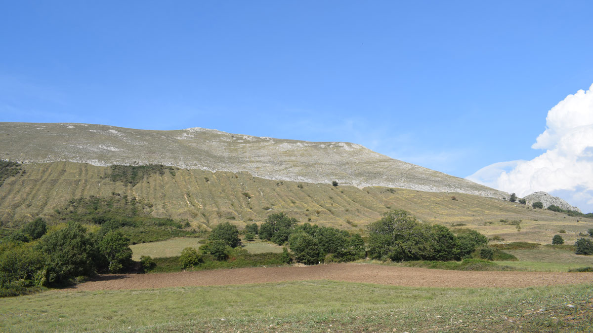
A green hill sits beneath a blue sky.
Posted inResearch Spotlights

Isotopes Unearth History of Earthquakes in the Apennines

by Nathaniel Scharping 17 April 202517 April 2025

Dating of cosmogenic chlorine isotopes yields long-term estimates of fault activity in Italy, showing that periods of earthquakes and quiescence alternate over millennia.

A woman in a sunny kitchen pours water from a kitchen tap into a filter pitcher.
Posted inResearch Spotlights

Trust in Evanston Tap Water Depends on Gender, Race, and Past Experiences

by Nathaniel Scharping 17 March 202517 March 2025

Residents of the relatively high income Illinois city share why they trust the water in their taps—and others share why they stay away.

Smog and haze over Salt Lake City
Posted inResearch Spotlights

Higher Ozone Levels Tied to Heart Attack Risk

by Nathaniel Scharping 10 March 202510 March 2025

For young adults, air pollution may increase risks of some kinds of heart attacks more than others.

Earth’s North Pole surface covered in ice
Posted inNews

How Do You Make Earth into an Icehouse?

by Nathaniel Scharping 6 March 20256 March 2025

A new model accurately reconstructs Earth’s past icehouses and indicates there’s no one driver behind them.

Power lines covered in snow after a blizzard
Posted inNews

U.S. Power Grids are Vulnerable to Extreme Weather

by Nathaniel Scharping 21 February 202521 February 2025

Different kinds of severe weather, including multiple kinds at once, have different impacts on the grid in different places.

The summit of Mount Everest soars above other peaks of the Himalayas.
Posted inFeatures

How to Build the World’s Highest Mountain

by Nathaniel Scharping 13 February 202513 February 2025

The rocks of Mount Everest’s peak made an epic journey from seafloor to summit.
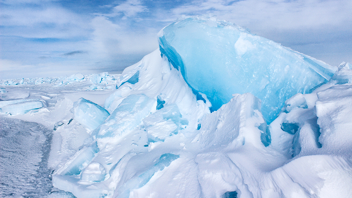
A ridge of broken ice within a sheet of sea ice
Posted inNews

Arctic Ice Is Getting Smoother and Moving Faster

by Nathaniel Scharping 4 February 20254 February 2025

A decrease in pressure ridges over the past 3 decades is making the ice more uniform, with unclear consequences.

Posts pagination

Newer posts 1 … 3 4 5 6 7 … 12 Older posts
Over a dark blue-green square appear the words Special Report: The State of the Science 1 Year On.

Features from AGU Publications

Research Spotlights

InSight into Seismology on the Red Planet

21 October 202621 October 2026
Editors' Highlights

The Geomagnetic Polarity Time Scale Revisited Once Again

22 October 202622 October 2026
Editors' Vox

Opening Access to Earth Observation Data for Disaster Mitigation

21 October 202620 October 2026
Eos logo at left; AGU logo at right

About Eos
ENGAGE
Awards
Contact

Advertise
Submit
Career Center
Sitemap

© 2026 American Geophysical Union. All rights reserved Powered by Newspack