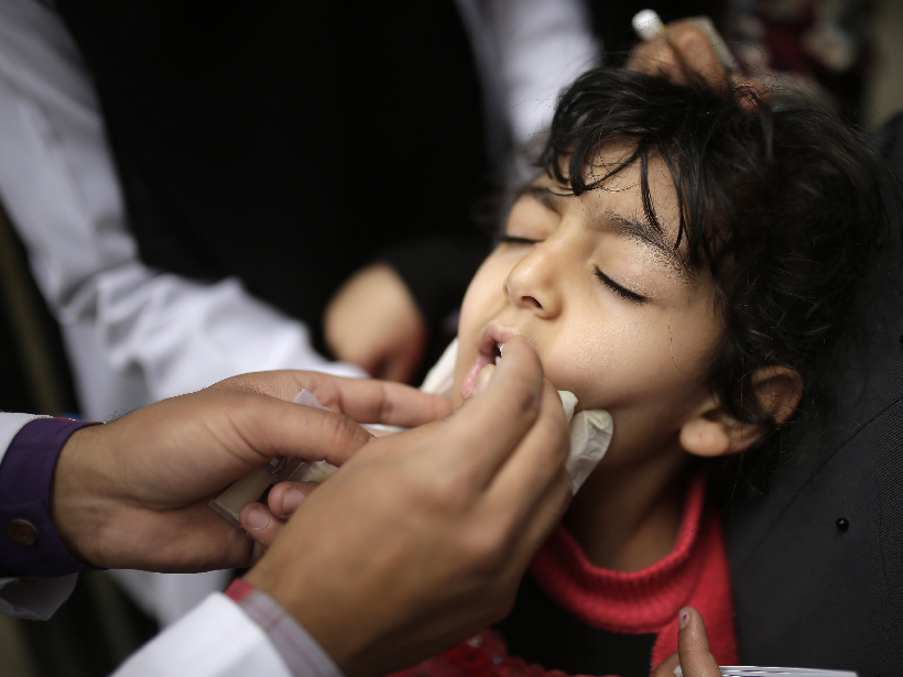
Increased rainfall in East Africa and subsequent wind may have brought infected bugs to Yemen, causing the worst cholera outbreak of our time.
News

Posted inNews
Great Pacific Garbage Patch Swim Nears Conclusion
Long-distance swimmer Ben Lecomte seeks to raise awareness about plastic pollution in the ocean.

Posted inNews
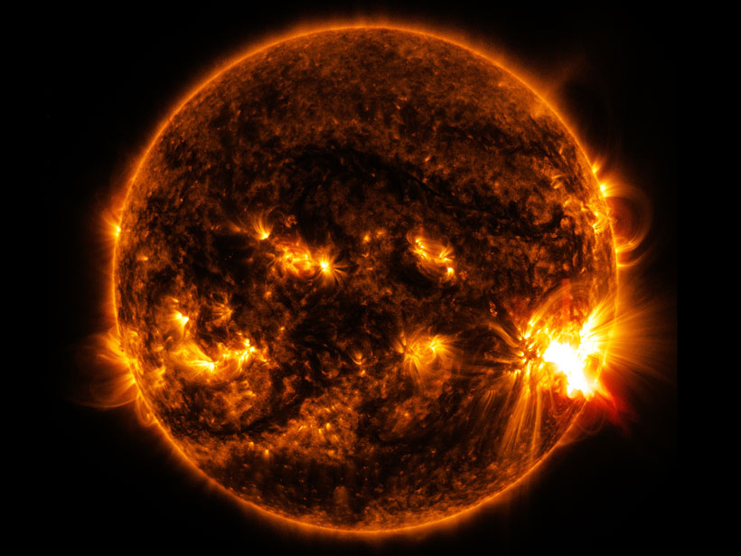
Forecasting Solar Storms in Real Time
Predicting when solar storms will hit Earth remains a tricky business. To help, scientists can now submit their forecasts of coronal mass ejections online as they unfold in real time.

Posted inNews
Saturnalia Revisited, Rosalind Franklin, and Other Recommendations
What Earth and space science stories are we recommending this week?

Posted inNews
Hunting for Planets Around Old, Anemic Stars
Can a star make planets with 10% of what the Sun had to work with? A synergy between two powerhouse survey telescopes is helping astronomers find that answer.

Posted inNews
Scientists Rescue Historical Data Taken on Floating Ice Island
A never-before-published data set from the Cold War could help scientists unravel the mysterious western Arctic Ocean.

Posted inNews
Global Warming Is Conquering the Vikings
Ancient Arctic artifacts are disappearing as warming unfurls.
Posted inNews
Researchers Reproduce Processes Behind Astrophysical Shocks
Studying shock precursors in a laboratory setting enables researchers to take a different look at the precursors’ properties and the physics behind them.
Posted inNews
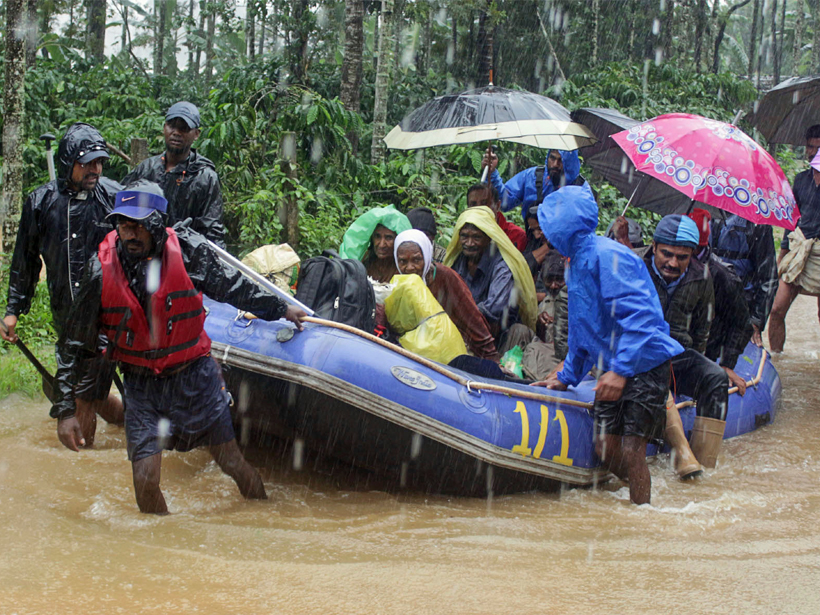
Devastating Floods Hit India for the Second Year in a Row
The deadly floods raise questions of land use and extreme precipitation trends.

Posted inNews
Tropical Corals Are Migrating Away from Warming Waters
In the first global assessment of its kind, researchers discovered that coral recruitment is declining globally and throughout the tropics while increasing in the subtropics.