Source: Geophysical Research Letters
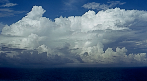
The tropics are a hotbed of convective activity and play host to a wide variety of weather systems, including dramatic lightning storms that can have severe repercussions for local communities and economies. Convection cycles, on the large scale, arise from air that warms near the equator and rises, cools, and condenses. The air then moves poleward, cools, and sinks. This cycle is a fundamental driver of the circulation of the atmosphere and, with it, weather and climate.
Scientists have long debated why convective systems behave differently over land and sea. Ocean convection produces more total rain despite weaker updrafts—small-scale currents of warm, rising air, the strength of which defines the intensity of a storm and its capacity to develop lightning. On land, updrafts are stronger, and lightning is 10 times more likely to occur than at sea. The differences have broad implications for scientific understanding of storm behavior and prediction around the globe. Here Bang and Zipser provide new evidence of the physical mechanisms that differentiate the two kinds of storms.

The Tropical Rainfall Measuring Mission (TRMM) was launched in 1997 to analyze the global distribution and vertical structure of tropical convection, which until that time was not well understood. The TRMM satellite had on board the first weather radar in space, with which scientists were able to create several useful proxies for thunderstorm intensity. The authors used the TRMM Precipitation Feature database to analyze storms over the Congo and the central Pacific. The Precipitation Feature database captures meteorological aspects such as size, cloud height, rainfall volume, and lightning flash rate. The rate of lightning flashes is frequently used as a proxy for storm intensity and updraft speed. Using these characteristics, the team established that tropical oceanic precipitation features with lightning tend to be 10 times larger and more mature than those on land. Storms on land, however, exhibited stronger convection and thus more lightning. The study lends strong support to scientists’ evolving knowledge of how storms vary across geography.
From here, researchers will be better equipped to examine the relationship between ocean and land convection across a more diverse set of regions, contributing to a more complete awareness of how precipitation features differ around the world. This kind of insight is indispensable to the communities and economies that face tropical storm hazards every year. (Geophysical Research Letters, doi:10.1002/2015gl065264, 2015)
—Lily Strelich, Freelance Writer
Citation: Strelich, L. (2015), Ocean lightning storms are larger than land lightning storms, Eos, 96, doi:10.1029/2015EO037109. Published on 14 October 2015.
Text © 2015. The authors. CC BY-NC 3.0
Except where otherwise noted, images are subject to copyright. Any reuse without express permission from the copyright owner is prohibited.

