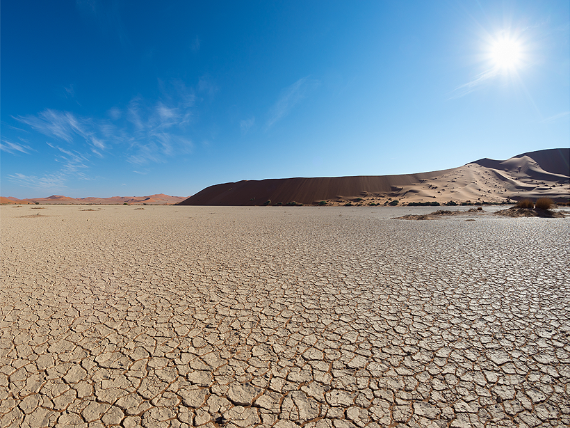
Models that accurately represent past and present rainfall provide more accurate projections of water availability, a new study suggests.
Research Spotlights
Research spotlights are plain-language summaries of recent articles published in AGU’s suite of 24 journals.

Posted inResearch Spotlights
The Thermosphere Responds to a Weaker Than Normal Solar Cycle
Infrared emissions from nitric oxide and carbon dioxide in Earth’s upper atmosphere, which are closely tied to incoming solar radiation, are drastically lower than in the previous solar cycle.
Posted inResearch Spotlights
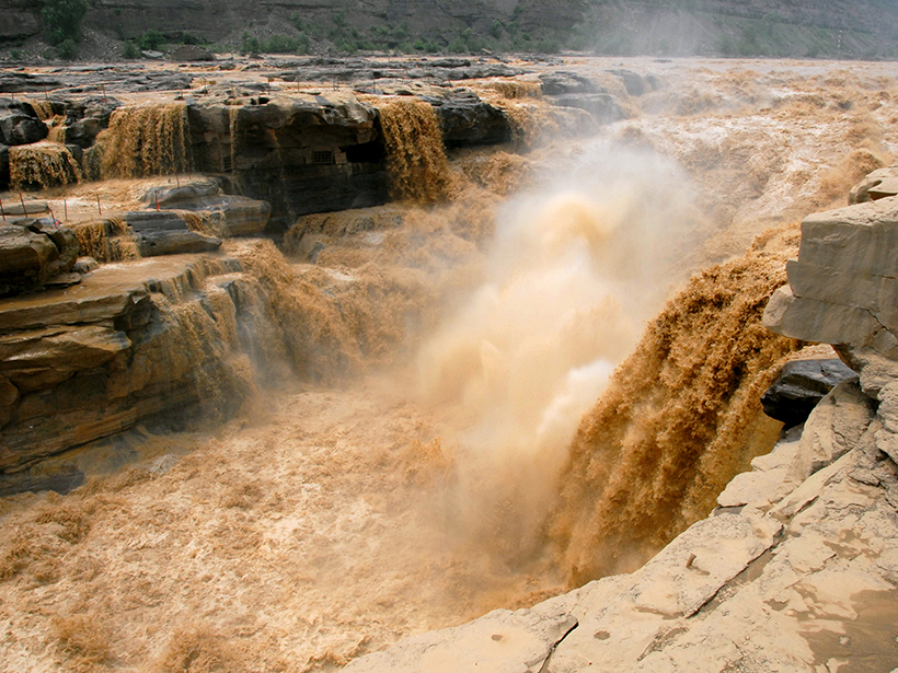
Through Flood and Drought: Reconstructing the Yellow River
Tree ring chronologies fill in gaps in the historical record and offer insights into the natural flow of China’s Yellow River.
Posted inResearch Spotlights
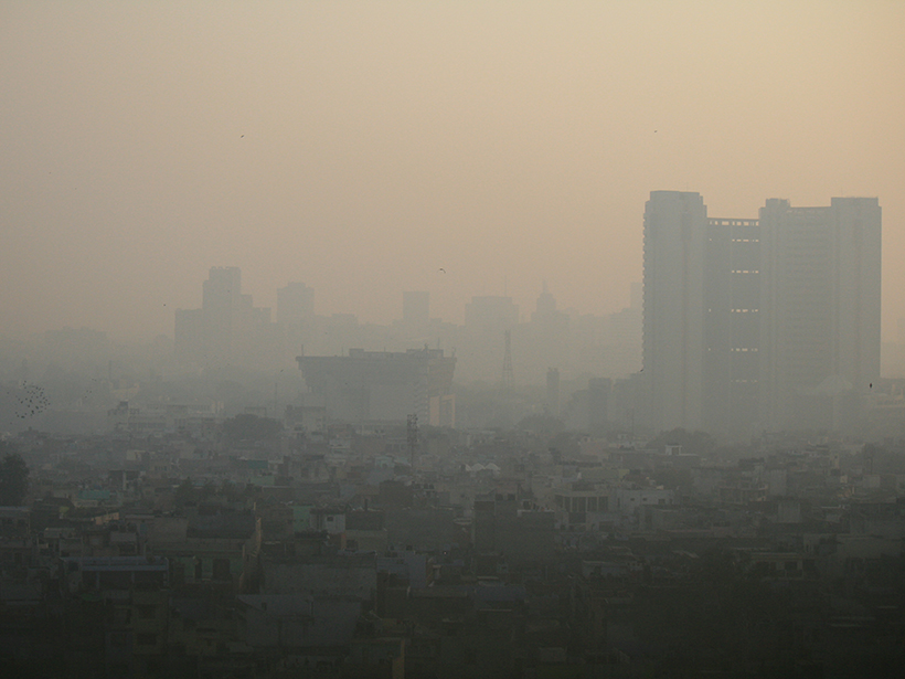
Aerosol Particle Size May Contribute to Varying Health Responses
Particulate matter in the atmosphere derives from industrial and environmental sources. The size of the particle determines how it deposits in the body and leads to different health challenges.

Posted inResearch Spotlights
Rover and Lasers Unlock Clues to Early Martian Atmosphere
Sediments from the Curiosity rover and experiments using tanks of gas and laser beams helped reveal how water continued to flow on Mars after the planet lost its atmospheric carbon dioxide.
Posted inResearch Spotlights
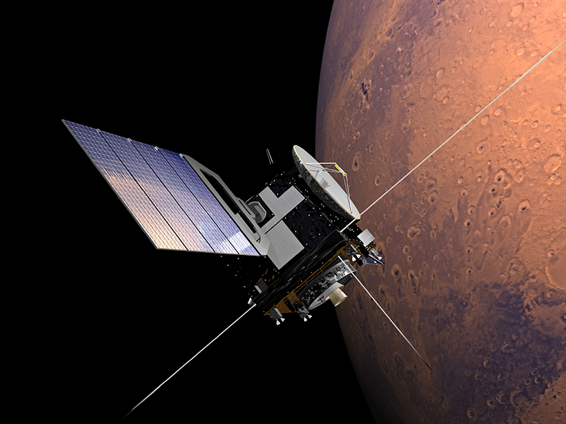
The Accidental Particle Accelerator Orbiting Mars
The radar aboard the Mars Express spacecraft can generate ion beams arcing through space above the planet, which could lead to a new way of studying the plasma surrounding it.

Posted inResearch Spotlights
Subglacial Water Can Accelerate East Antarctic Glacier Flow
Airborne radar from the Recovery Glacier system demonstrates the importance of characterizing the underlying causes of ice flow speedup to understand how glacial discharge could change in the future.

Posted inResearch Spotlights
Spruce Beetle Slows Snow Sublimation in Wyoming’s Mountains
A new study investigates changing water dynamics after a pest infestation in the Rocky Mountains.

Posted inResearch Spotlights
Ocean Warming Resumes in the Tropical Pacific
The discovery of a decadal El Niño–like state associated with shifts in the Pacific trade winds could have important implications for predicting sea level in future decades.
Posted inResearch Spotlights
How Do Main Shocks Affect Subsequent Earthquakes?
The results of a novel analysis of aftershock size distribution have important implications for more realistically assessing the seismic hazard of earthquake sequences.