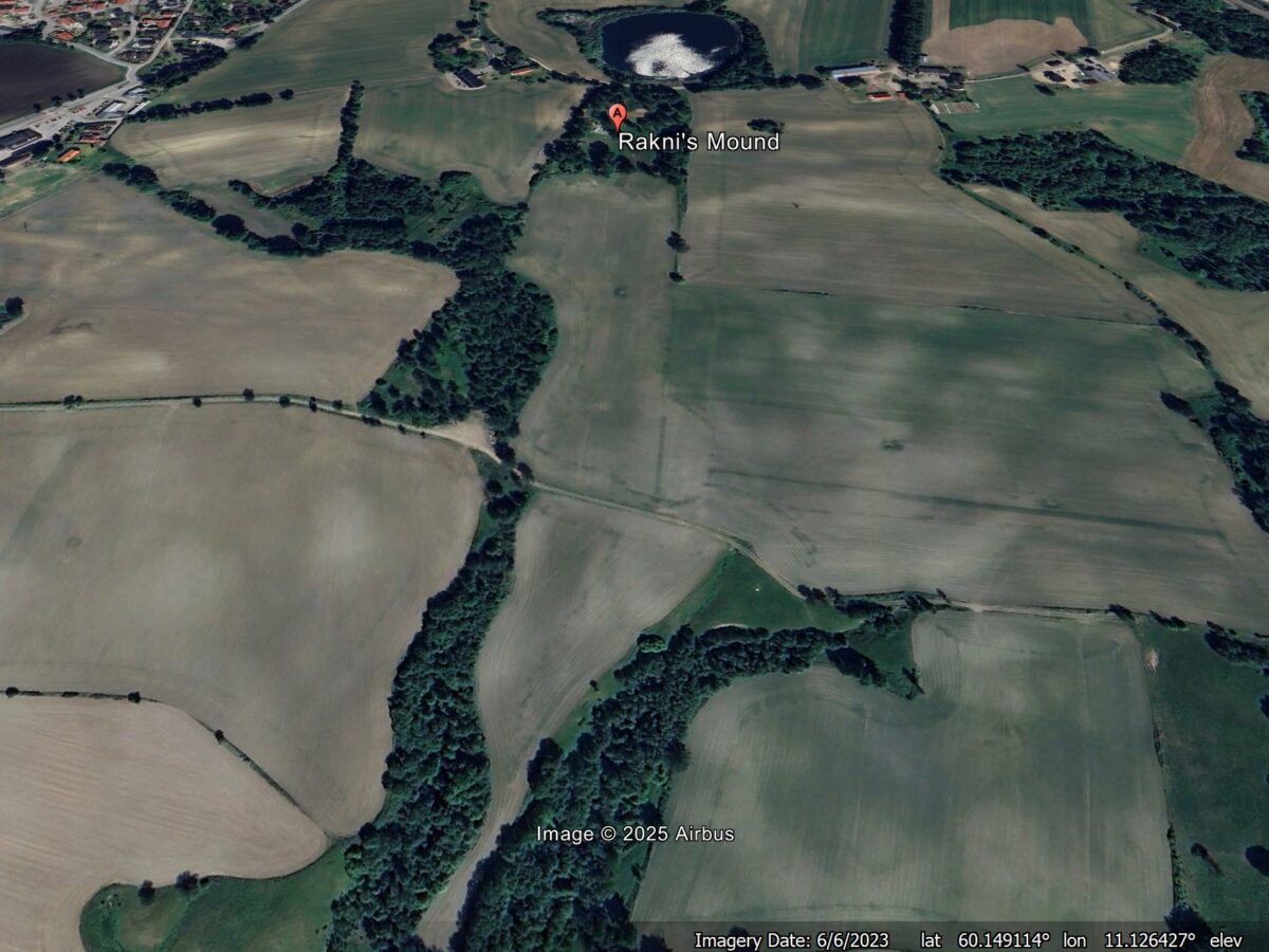
An Iron Age burial mound in Norway has been reinterpreted as being a memorial for a catastrophic landslide during a period of climatic instability. There is a very interesting article (Gustavsen 2026) in the European Journal of Archaeology that re-examines an Iron Age mound known as Raknehaugen (Rakni’s Mound) in Norway. This mound has, until […]
archaeology
Posted inNews
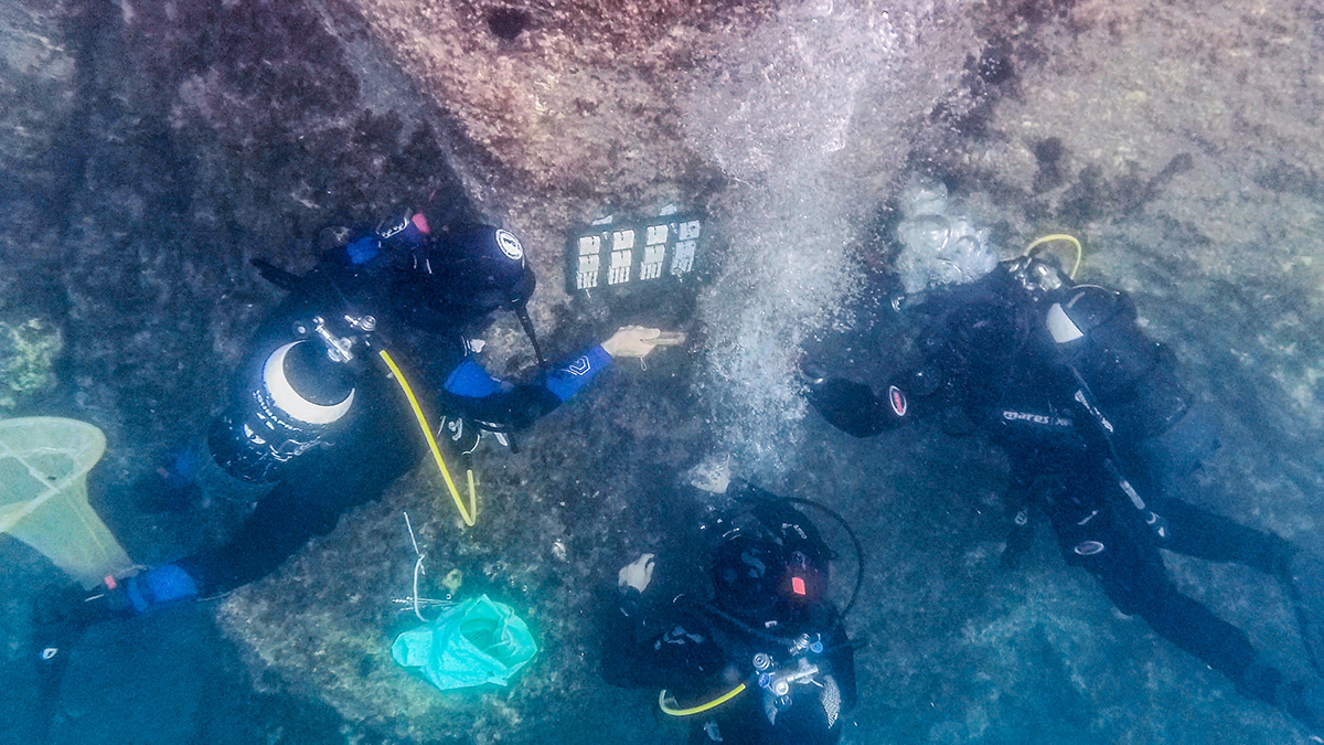
Acidifying Seas Are Wearing Away at Underwater Archaeology
Marble, limestone, and other carbonate rocks used throughout antiquity could start dissolving as oceans soak up more carbon dioxide.
Posted inNews
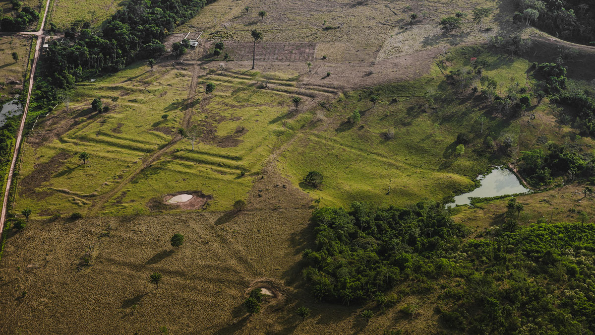
How Ancient Indigenous Societies Made Today’s Amazon More Resilient
Portions of the forest managed by pre-Columbian populations hold higher biomass and are more able to withstand climate change.
Posted inNews
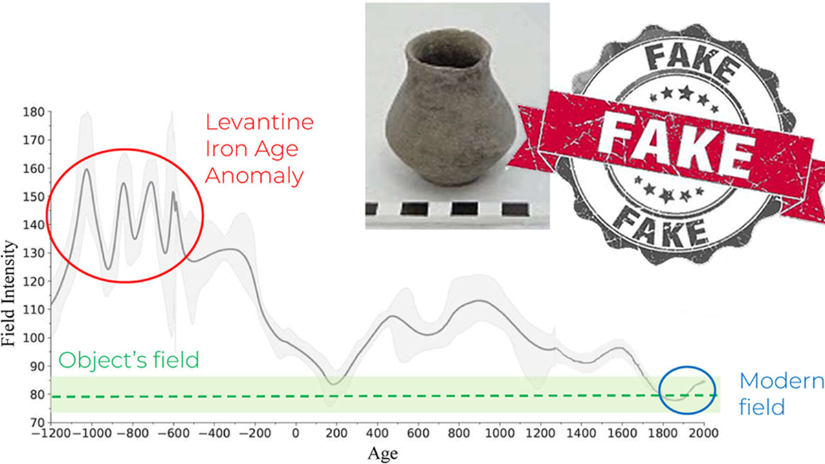
Credible or Counterfeit: How Paleomagnetism Can Help Archaeologists Find Frauds
Duplicating artifacts that preserve records from biblical times is a lucrative business. A method used for both dating artifacts and reconstructing Earth’s history could identify phony pieces.
Posted inNews
Grandes Sequias Coincidieron con el Colapso Maya Clásico
El entendimiento de cómo las ciudades individuales respondieron al estrés climático ayudará a crear imágenes holísticas de cómo estas sociedades funcionaban.

Posted inNews
Major Droughts Coincided with Classic Maya Collapse
Understanding how individual cities responded to climate stress will help create holistic pictures of how these societies functioned.
Posted inNews
Ancient Greeks and Romans Laced the Aegean with Lead
Lead pollution in and around the Aegean Sea dates back to the Bronze Age and shows a strong spike associated with Roman expansion.

Posted inFeatures
O Legado Rico em Nutrientes nas Terras Pretas da Amazônia
Os solos férteis de terra preta foram criados através de séculos de uso da terra cuidadosamente administrado. Os cientistas estão colhendo referências desses solos para remover o carbono e melhorar o solo para a agricultura.

Posted inNews
Sedimentos Caribenhos Rastreados até o Terremoto e Tsunami Português de 1755
Arqueólogos escavando na Martinica encontraram por acaso o primeiro depósito de tsunami do terremoto encontrado no Novo Mundo. Ao que parece, o tsunami deixou um forte rastro, pois a onda passou por cima de um rio.
Posted inNews
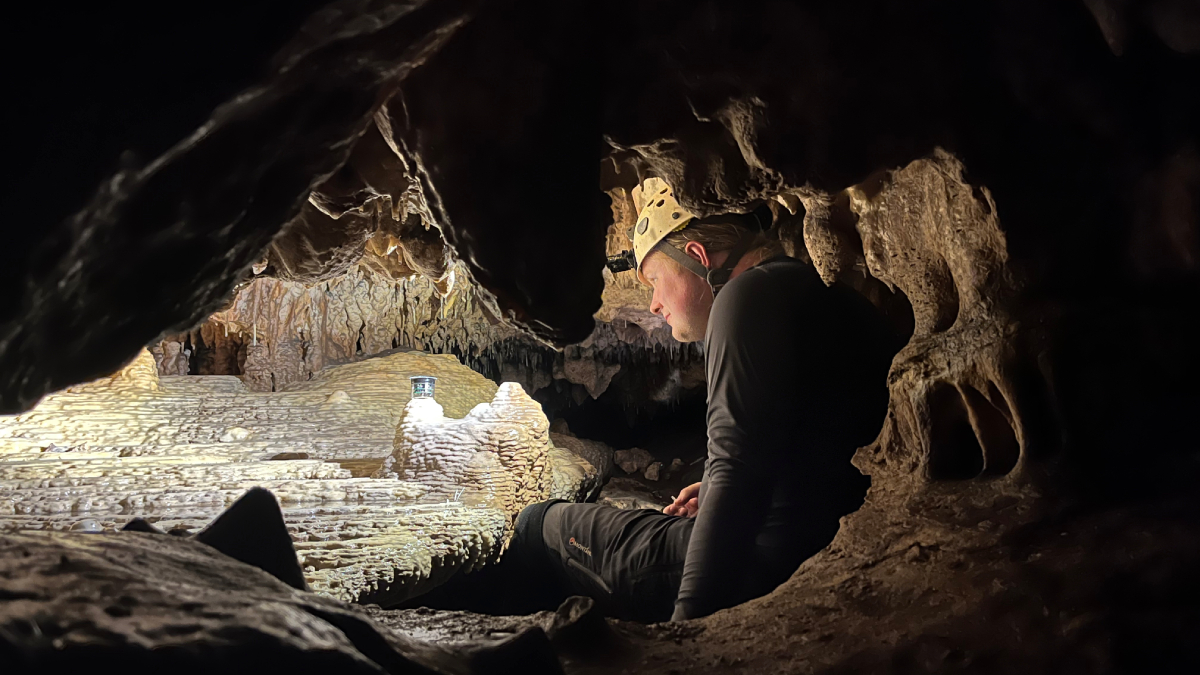
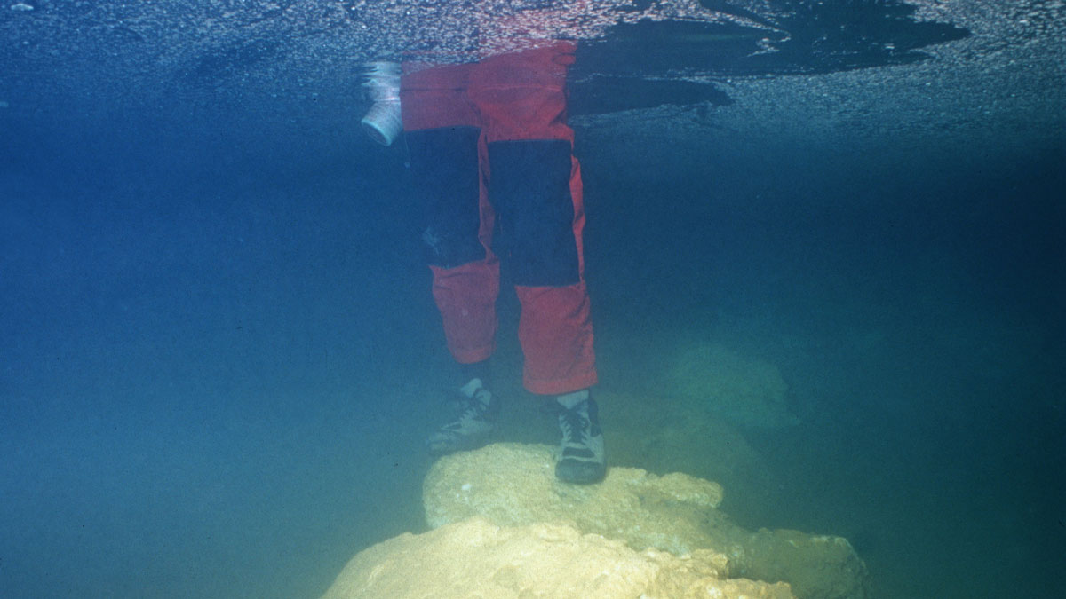
Underwater Bridge Suggests a Surprising Date for First Migration to Mallorca
A controversial study suggests that humans settled on the Spanish island 1,000 years earlier than archaeologists believe.