• About
  • Sections
  • Topics
    • Climate
    • Earth Science
    • Oceans
    • Space & Planets
    • Health & Ecosystems
    • Culture & Policy
    • Education & Careers
    • Opinions
  • Projects
    • ENGAGE
    • Editors’ Highlights
    • Editors’ Vox
    • Eos en Español
    • Eos 简体中文版
    • Print Archive
  • Blogs
    • Research & Developments
    • The Landslide Blog
  • Newsletter
  • Submit to Eos
  • AGU.org
  • Career Center
  • Join AGU
  • Give to AGU
  • About
  • Sections
  • Topics
    • Climate
    • Earth Science
    • Oceans
    • Space & Planets
    • Health & Ecosystems
    • Culture & Policy
    • Education & Careers
    • Opinions
  • Projects
    • ENGAGE
    • Editors’ Highlights
    • Editors’ Vox
    • Eos en Español
    • Eos 简体中文版
    • Print Archive
  • Blogs
    • Research & Developments
    • The Landslide Blog
  • Newsletter
  • Submit to Eos
Skip to content
  • AGU.org
  • Career Center
  • Join AGU
  • Give to AGU
Eos

Eos

Science News by AGU

Support Eos
Sign Up for Newsletter
  • About
  • Sections
  • Topics
    • Climate
    • Earth Science
    • Oceans
    • Space & Planets
    • Health & Ecosystems
    • Culture & Policy
    • Education & Careers
    • Opinions
  • Projects
    • ENGAGE
    • Editors’ Highlights
    • Editors’ Vox
    • Eos en Español
    • Eos 简体中文版
    • Print Archive
  • Blogs
    • Research & Developments
    • The Landslide Blog
  • Newsletter
  • Submit to Eos

Arkansas

New research suggests more earthquakes may be the result of fracking than previously believed
Posted inResearch Spotlights

More Earthquakes May Be the Result of Fracking Than We Thought

by S. Witman 8 February 20188 December 2022

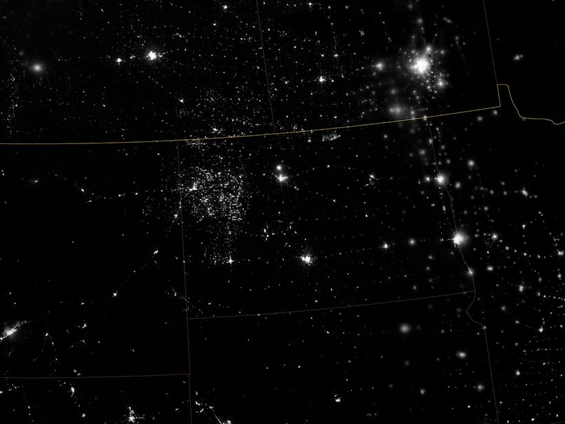
Scientists show small earthquakes caused by fracking near Guy-Greenbrier, Ark., in 2010 that could have been early indicators of high stress levels on larger faults deeper underground.

The 1927 flood on the Lower Mississippi River was one of the most destructive in U.S. history.
Posted inResearch Spotlights

Reimagining a Fatal Flood

Kate Wheeling, freelance science writer by Kate Wheeling 17 March 20162 March 2023

Researchers use high-resolution simulations to reexamine the rainfall events that led to one of the most destructive floods in U.S. history.

A view of a Washington, D.C., skyline from the Potomac River at night. The Lincoln Memorial (at left) and the Washington Monument (at right) are lit against a purple sky. Over the water of the Potomac appear the text “#AGU24 coverage from Eos.”

Features from AGU Publications

Research Spotlights

When Rain Falls in Africa, Grassland Carbon Uptake Rises

30 July 202530 July 2025
Editors' Highlights

Why Crop Yield Decreases at High Temperatures

29 July 202529 July 2025
Editors' Vox

JGR: Space Physics Launches New Instrumentation Article Type

23 July 202521 July 2025
Eos logo at left; AGU logo at right

About Eos
ENGAGE
Awards
Contact

Advertise
Submit
Career Center
Sitemap

© 2025 American Geophysical Union. All rights reserved Powered by Newspack