
Decarbonizing the aviation industry won’t be easy. The coronavirus pandemic complicates the situation but also presents an opportunity.
business & industry

Posted inNews
More Gas Wells Linked to More Symptoms in Pennsylvania Residents
Natural gas production has been booming in southwestern Pennsylvania, but it may also yield multiple health complaints, especially for residents surrounded by oil and gas facilities.

Posted inNews
Using Dirt to Clean Up Construction
The construction industry is one of the world’s largest emitters of carbon dioxide. Whether it can reduce those emissions depends on replacing its most common building material.

Posted inEditors' Highlights
Environmental Impact Bonds Incentivize Watershed Restoration
Environmental Impact Bonds for financing new water and environmental infrastructure can be properly priced with the help of watershed modelling.
Posted inResearch Spotlights
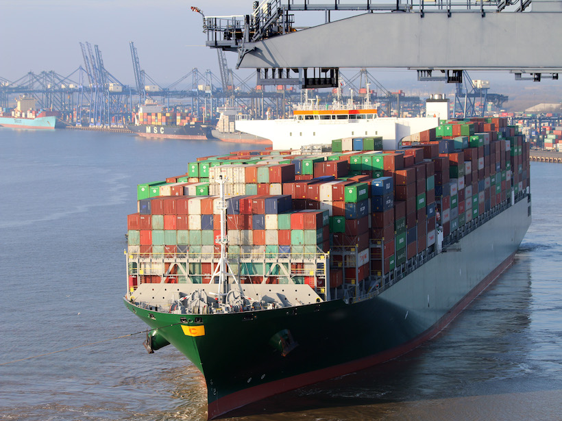
Seaports Expected to Grow by up to Fourfold by 2050
New research finds adaptation of ports to sea level rise cheap compared to new construction needed to keep up with growing maritime trade.
Posted inEditors' Highlights
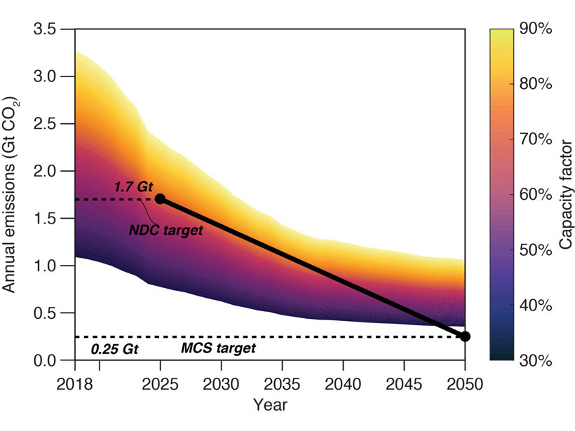
Committed U.S. Power Emissions Incompatible with Paris Agreement
Without a significant reduction in usage, committed emissions from coal and gas plants in the United States are already incompatible with the country’s pledges under the Paris climate agreement.
Posted inEditors' Vox
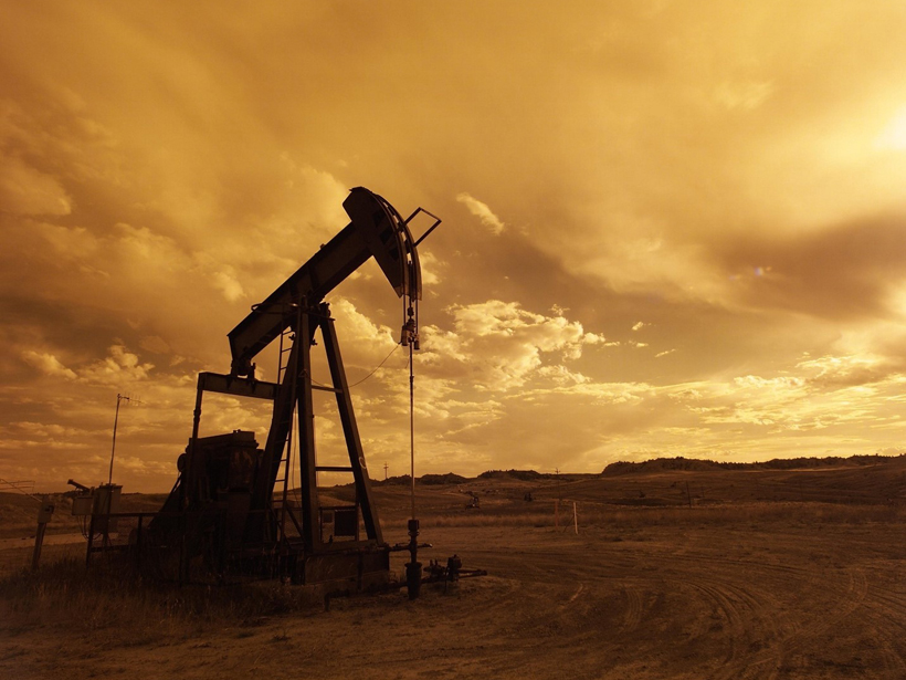
Understanding Earthquakes Caused by Hydraulic Fracturing
A better understanding of how earthquakes are caused by hydraulic fracturing is an important part of building better practices to manage and mitigate their risks.
Posted inNews
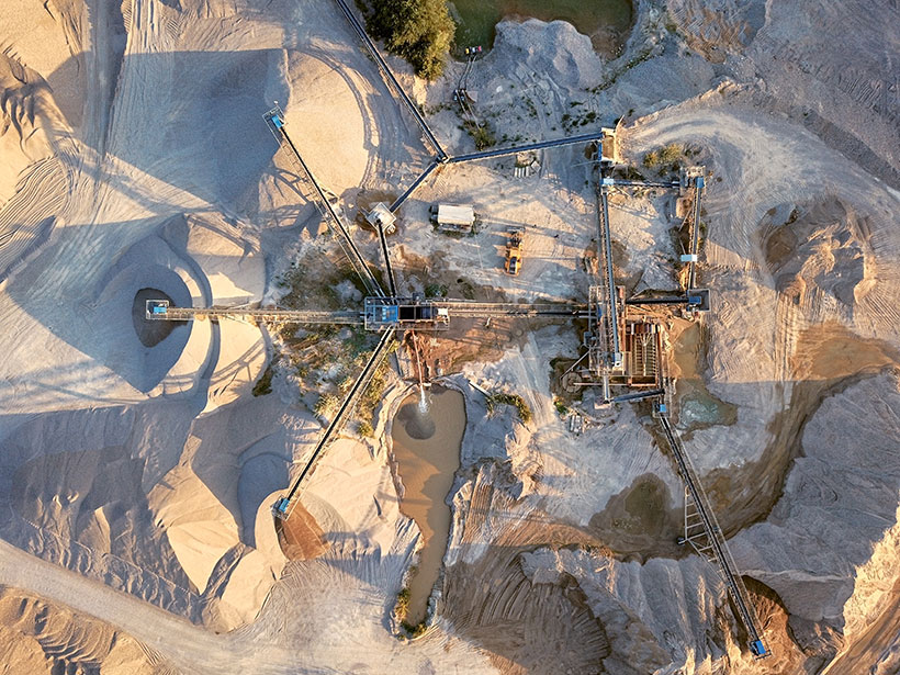
To Protect the World’s Sand, We Need to Know How to Measure It
New research provides a more accurate model that coastal managers and engineers can use to account for sand transport over time.

Posted inOpinions
Do You Know Your Home’s Flood Risk?
Search for your address in this new database and get an easy to understand indicator of the potential for flooding now and over the next several decades as climate change alters our environment.
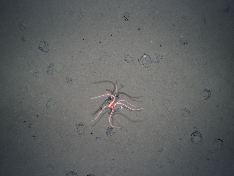
Posted inNews
The Long-Lasting Legacy of Deep-Sea Mining
New research reveals a deep-sea mining experiment that took place 26 years ago still has significant and persistent impacts on benthic life.