
A new study supports the idea that earthquakes may be associated with increased volcanic eruptions, but over longer time spans than prior research indicated.
earthquakes
Posted inNews
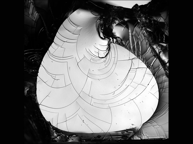
Watch Tiny Cracks Travel in 3-D
Scientists used a transparent gel and high-speed photography to figure out how cracks form and spread. What they found could help explain earthquakes and fracturing glaciers.
Posted inNews
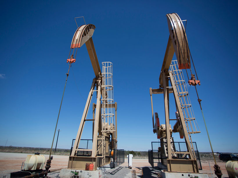
Catching Oklahoma’s Tiny Tremors in the Act
Scientists map thousands of microearthquakes in Oklahoma to take a closer look at the seismic effects of wastewater injection following oil and gas operations.
Posted inResearch Spotlights
In a Submarine Trough, Permeable Rocks May Lead to Quakes
In Japan’s submarine Nankai Trough, rock permeability is much higher when measured at larger scales, likely because of big fractures and faults that are not captured at small scales.

Posted inScience Updates
Understanding Electrical Signals from Below Earth’s Surface
A new version of a free Web application (SIGMELTS 2.0) helps Earth scientists interpret electrical anomalies in Earth’s crust and mantle and track the sources of earthquakes and volcanic eruptions.

Posted inFeatures
Lessons from Mexico’s Earthquake Early Warning System
The devastating 2017 Puebla quake provides an opportunity to assess how citizens perceive and use the Mexico City earthquake early warning system.
Posted inNews
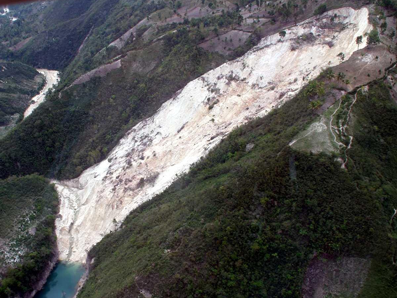
Landslides Send Carbon-Rich Soils into Long-Term Storage
Earthquake-triggered landslides move soils down steep slopes and deposit the sediments near rivers, sequestering the carbon contained within them for millions of years.

Posted inEditors' Vox
Earthquake Precursors, Processes, and Predictions
A new book presents various studies that may establish a link between earthquakes and different types of precursor signals from the Earth, atmosphere, and space.
Posted inResearch Spotlights
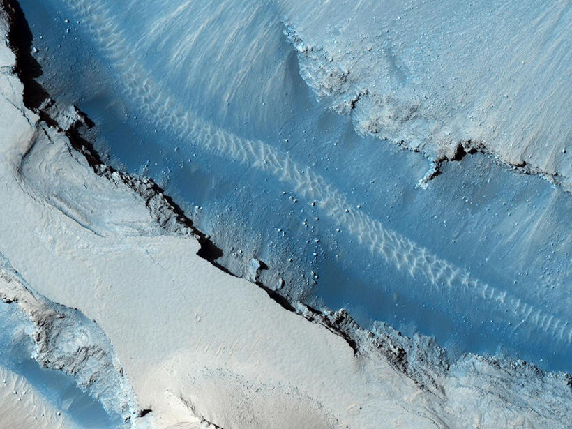
Searching for Signs of Marsquakes
Researchers use high-resolution images of Mars’s surface to look for signals of coseismic displacement.

Posted inScience Updates
Bhutan Earthquake Opens Doors to Geophysical Studies
A multinational research team discovered an underestimated earthquake hazard during their 7-year exploration of the unique geodynamics of the eastern Himalayas in Bhutan.