High-resolution lidar topography reveals a long history of ancient earthquakes.
earthquakes

Posted inNews
Precariously Balanced Rocks Reveal Earthquake History in Israel
Using the prevalence of unstable rock formations in Israel’s Negev Desert, researchers determined that historical earthquakes in the region were weaker than previously thought.
Posted inEditors' Highlights
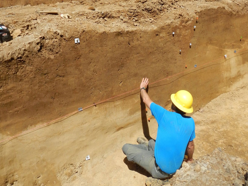
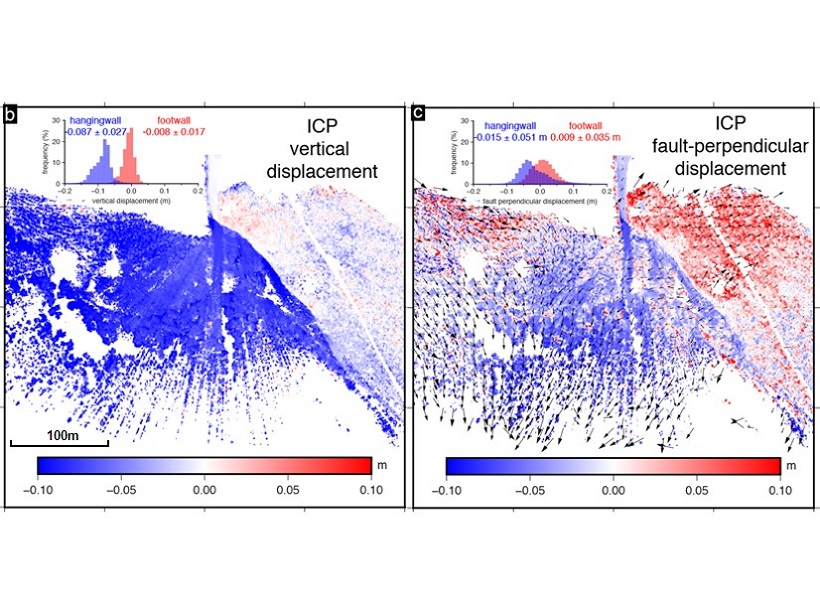
Imaging an Earthquake Rupture in High Definition
New field measurements using terrestrial laser scanning provide a detailed, centimeter-scale image of surface deformation patterns caused by the Magnitude 6.6 earthquake in Norcia, Italy.

Posted inResearch Spotlights
How Do Main Shocks Affect Subsequent Earthquakes?
The results of a novel analysis of aftershock size distribution have important implications for more realistically assessing the seismic hazard of earthquake sequences.

Posted inScience Updates
Examining Alaska’s Earthquakes on Land and Sea
The Alaska Amphibious Community Seismic Experiment is taking a close look at seismic activity along the Alaska Peninsula to understand earthquakes in this little-studied region.

Posted inNews
Unused Fiber-Optic Cables Repurposed as Seismic Sensors
So-called dark fiber can serve as regional seismic activity monitors and also detect earthquakes thousands of kilometers away, according to new research.
Posted inResearch Spotlights
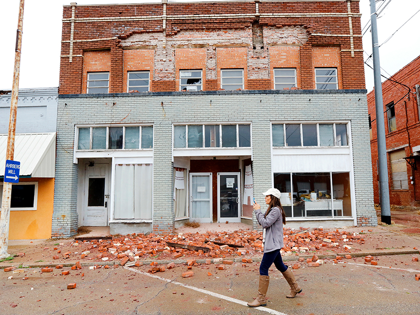
Forecasting Seismicity from Wastewater Disposal in Oklahoma
Mandated wastewater injection reductions in effect since 2016 are inadequate for preventing future, large-magnitude earthquakes in the state, according to a new induced seismicity model.

Posted inNews
Varying Impact of Earthquake- and Monsoon-Induced Landslides
Using nearly 50 years of satellite data and records stretching back millennia, scientists determine the relative frequency—and the erosional power—of monsoon- and earthquake-induced landslides in Nepal.
Posted inResearch Spotlights
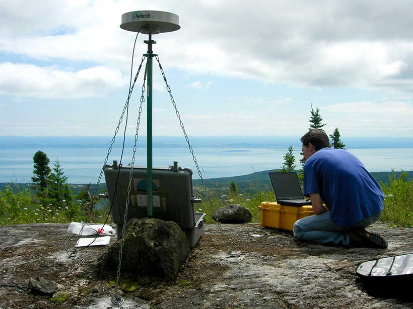
Ancient Faults Amplify Intraplate Earthquakes
A comparison of deformation rates from Canada’s Saint Lawrence Valley offers compelling evidence that strain in the region is concentrated along ancient structures from previous tectonic cycles.

Posted inResearch Spotlights
Unraveling the Origin of Slow Earthquakes
Different nucleation styles detected in five slow-slip events in the same area of Japan’s Ryukyu subduction zone suggest the physical properties along this tectonic plate interface change over time.