For close to 20 years, slow-motion earthquakes have been an enigma. Core samples provide new clues to their origins.
Hazards & Disasters
Posted inFeatures
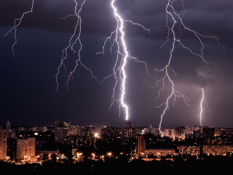
Lightning Research Flashes Forward
A greater understanding of lightning mechanisms is spurring the development of more accurate weather forecasting, increased public health precautions, and a more sophisticated understanding of lightning itself.
Posted inAGU News
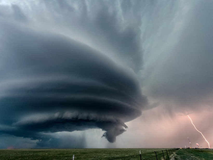
Investigating the Spark
In May, we look at lightning—what it tells us about dangerous weather, how to find it on other planets, and what we might learn if we get all that data in one place.
Posted inNews
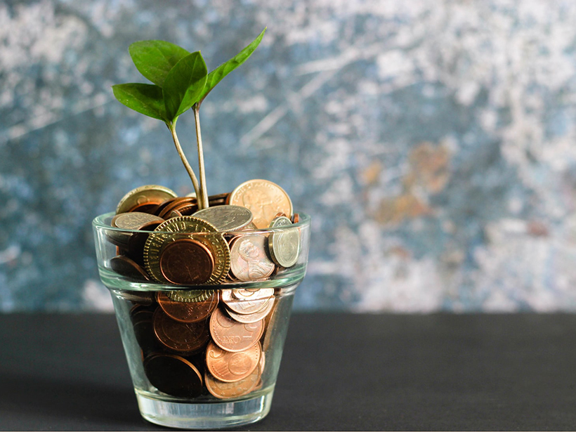
How Financial Markets Can Grow More Climate Savvy
Take extreme weather risks into account, and markets could prove hardier in a changing world.

Posted inNews
Are Cosmic Rays a Key to Forecasting Volcanic Eruptions?
A combination of relativistic particles and artificial intelligence may provide a new way to forecast when a volcano could erupt.
Posted inNews
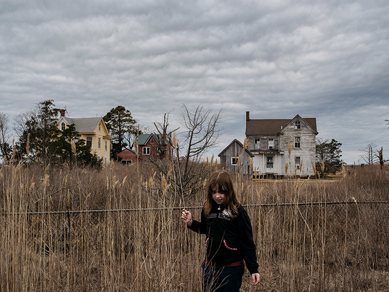
Photography Focuses on Sea Level Rise and Eroding Communities
Narratives from applicants for the Getty Images Climate Visuals Grants provided a unique insight into the reality of climate change. Both winners focused on the impact of sea level rise.
Posted inNews
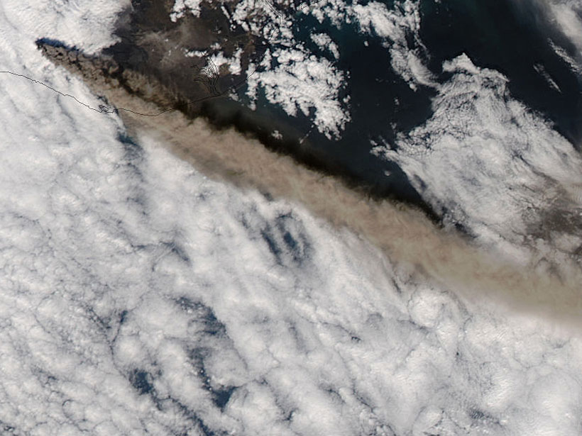
The Art of Volcanic Ash Modeling 10 Years After Eyjafjallajökull
The ash plumes from the eruption of the Icelandic volcano in 2010 disrupted air travel in Europe for several weeks. Since then, scientists have developed models to mitigate ash’s impacts.
Posted inOpinions
Geohealth: Science’s First Responders
At the intersection of human health and the environment, the emerging field called geohealth can teach us how not to repeat mistakes made in past disasters.
Posted inNews
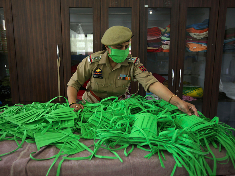
Air Pollution Can Worsen the Death Rate from COVID-19
Scientists find that highly polluted counties in the United States will have a COVID-19 death rate 4.5 times higher than those with low pollution if they’re otherwise similar.

Posted inNews
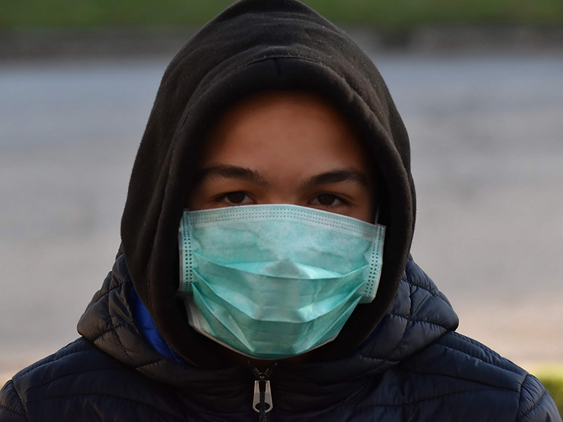
Coronavirus Lockdown Brings Clean Air to Spanish Cities
Measures against the spread of the new coronavirus have an unexpected side effect: record-low air pollution levels.