• About
  • Special Reports
  • Topics
    • Climate
    • Earth Science
    • Oceans
    • Space & Planets
    • Health & Ecosystems
    • Culture & Policy
    • Education & Careers
    • Opinions
  • Projects
    • Postcards From the Field
    • ENGAGE
    • Editors’ Highlights
    • Editors’ Vox
    • Eos en Español
    • Eos 简体中文版
    • Print Archive: 2015–2025
  • Policy Tracker
  • Blogs
    • Research & Developments
    • The Landslide Blog
  • Newsletter
  • Submit to Eos
  • AGU.org
  • Career Center
  • Join AGU
  • Give to AGU
  • About
  • Special Reports
  • Topics
    • Climate
    • Earth Science
    • Oceans
    • Space & Planets
    • Health & Ecosystems
    • Culture & Policy
    • Education & Careers
    • Opinions
  • Projects
    • Postcards From the Field
    • ENGAGE
    • Editors’ Highlights
    • Editors’ Vox
    • Eos en Español
    • Eos 简体中文版
    • Print Archive: 2015–2025
  • Policy Tracker
  • Blogs
    • Research & Developments
    • The Landslide Blog
  • Newsletter
  • Submit to Eos
Skip to content
  • AGU.org
  • Career Center
  • Join AGU
  • Give to AGU
Eos

Eos

Science News by AGU

Support Eos
Sign Up for Newsletter
  • About
  • Special Reports
  • Topics
    • Climate
    • Earth Science
    • Oceans
    • Space & Planets
    • Health & Ecosystems
    • Culture & Policy
    • Education & Careers
    • Opinions
  • Projects
    • Postcards From the Field
    • ENGAGE
    • Editors’ Highlights
    • Editors’ Vox
    • Eos en Español
    • Eos 简体中文版
    • Print Archive: 2015–2025
  • Policy Tracker
  • Blogs
    • Research & Developments
    • The Landslide Blog
  • Newsletter
  • Submit to Eos

Oklahoma

A geographic information system (GIS) map shows a number of different layers: Blue areas represent flood zones or floodways, whereas white areas are those with minimal flood hazard. Red, orange, green, and gray areas represent mining waste.
Posted inResearch Spotlights

Making a Map to Make a Difference

by Rebecca Owen 11 February 202611 February 2026

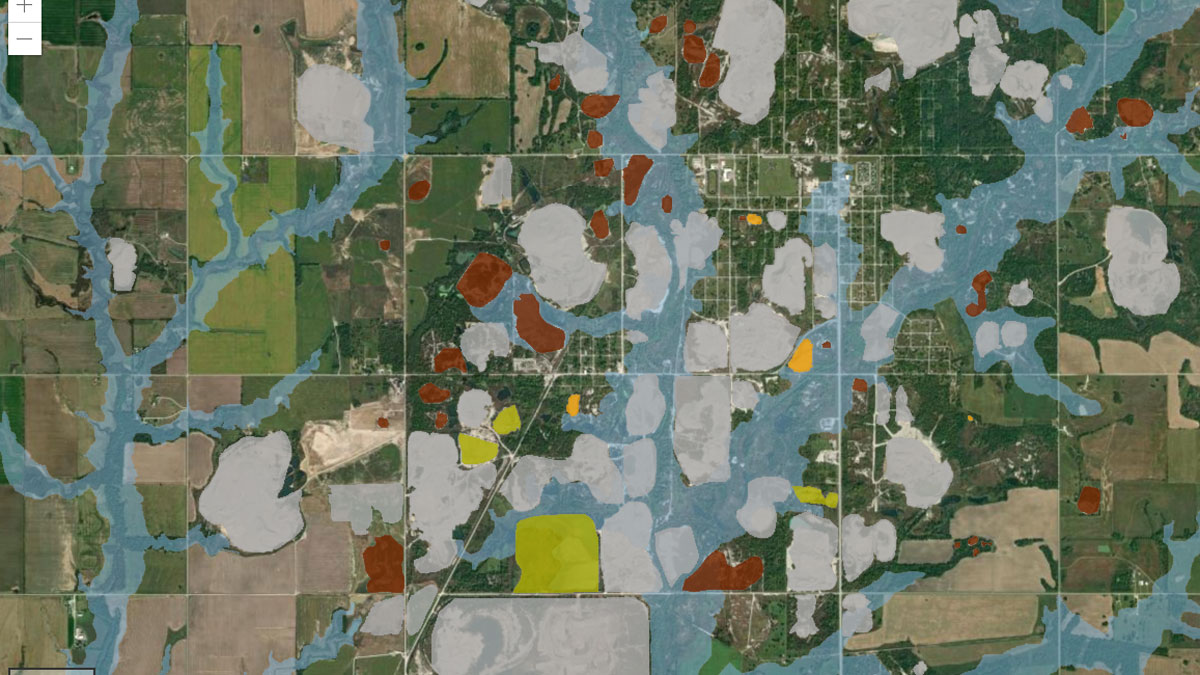
A new study highlights the partnership between scientists and nonscientist community members in building an interactive GIS map to show flooding risk in a Superfund site.

A tall jet of lightning extends upward from a bright thundercloud in front of a dark starry sky. The gigantic jet is bright white at the base and then transitions to blue and then to red as it reaches upward. The top of the jet is wider than the base.
Posted inNews

Gigantic Jet of Lightning Mapped over Oklahoma

Kimberly M. S. Cartier, News Writing and Production Intern for Eos.org by Kimberly M. S. Cartier 7 September 20227 September 2022

The most powerful gigantic jet ever recorded fortuitously appeared over a sensor array in Oklahoma, enabling scientists to map the structure of the phenomenon for the first time.

Geologist Lauren Haygood balances on a plunging anticline during a field trip to the Arbuckle Mountains, Okla.
Posted inFeatures

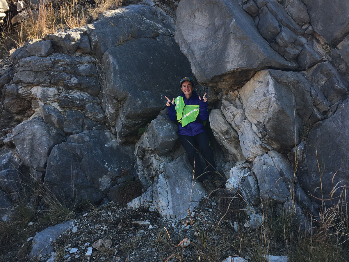
Lauren Haygood: Normalizing STEM in America’s Heartland

by Saima May Sidik 25 July 202225 July 2022

Community science builds bridges while generating valuable environmental data.

A street in Guthrie, Okla.
Posted inResearch Spotlights

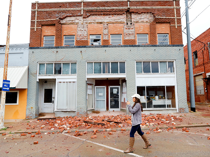
Understanding Earthquakes Triggered by Wastewater Injection

Sarah Stanley, Science Writer by Sarah Stanley 27 June 202227 June 2022

A deep dive into a 2015 Oklahoma earthquake reveals new insights into the dynamics of quakes induced by wastewater injection, and could help inform future earthquake hazard modeling.

A chat, or waste, pile near the Tar Creek Superfund site in Oklahoma.
Posted inNews

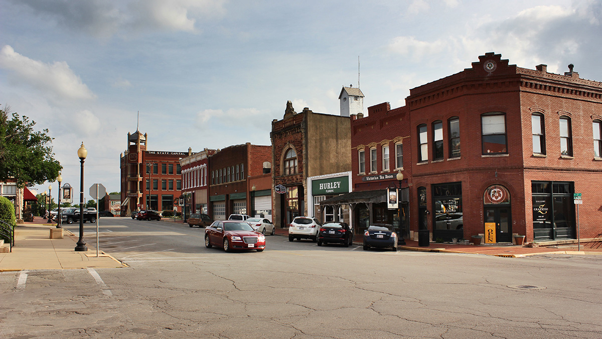
Community Input Drives Superfund Research

by Robin Donovan 14 December 202125 October 2022

Researchers identified geochemical tracers for lead and investigated Oklahomans’ concerns at the Tar Creek Superfund site.

Puffy cumulus clouds with a background of blue sky
Posted inResearch Spotlights

Soil Moisture Drives Great Plains Cloud Formation

by E. Underwood 10 September 20198 November 2022

A new study shows that models that reproduce moisture on land are better at accurately recreating cumulus cloud behavior.

Photo of fracking rigs along a dirt road
Posted inNews

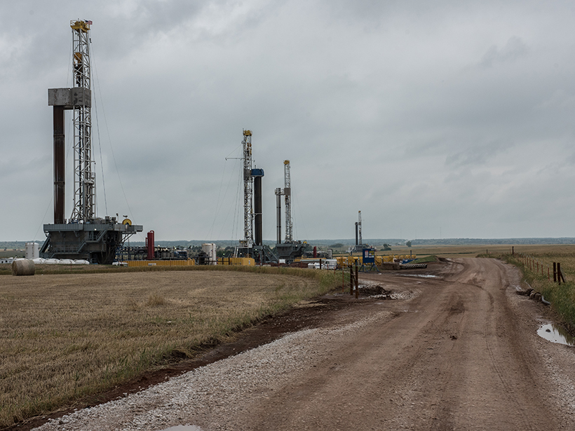
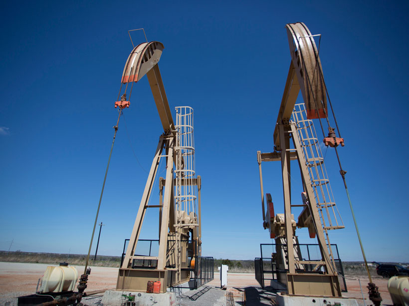
Sinking Wastewater Triggers Deeper, Stronger Earthquakes

Mary Caperton Morton, Science Writer by Mary Caperton Morton 16 August 201916 February 2022

The effects of pumping wastewater from oil and gas extractions may last a decade or more after the injections stop.

A woman walks past debris from a building damaged by an earthquake in Oklahoma
Posted inResearch Spotlights

Forecasting Seismicity from Wastewater Disposal in Oklahoma

by Terri Cook 8 March 20195 December 2022

Mandated wastewater injection reductions in effect since 2016 are inadequate for preventing future, large-magnitude earthquakes in the state, according to a new induced seismicity model.

Pump jacks in Oklahoma extracting oil
Posted inNews

Catching Oklahoma’s Tiny Tremors in the Act

by E. Frederick 21 December 20185 January 2022

Scientists map thousands of microearthquakes in Oklahoma to take a closer look at the seismic effects of wastewater injection following oil and gas operations.

Recent studies show that fluid injection wells like this one can affect seismic activity far from the injection site.
Posted inFeatures

Fluid Injection Wells Can Have a Wide Seismic Reach

by S. L. Peterie, R. D. Miller, R. Buchanan and B. DeArmond 17 April 201813 January 2022

High-volume fluid injection can cumulatively increase underground pore pressure and induce earthquakes in regions unexpectedly far from injection wells, recent Kansas studies show.

Posts pagination

1 2 Older posts
Over a dark blue-green square appear the words Special Report: The State of the Science 1 Year On.

Features from AGU Publications

Research Spotlights

Making a Map to Make a Difference

11 February 202611 February 2026
Editors' Highlights

Linking Space Weather and Atmospheric Changes With Cosmic Rays

12 February 202610 February 2026
Editors' Vox

A Double-Edged Sword: The Global Oxychlorine Cycle on Mars

10 February 202610 February 2026
Eos logo at left; AGU logo at right

About Eos
ENGAGE
Awards
Contact

Advertise
Submit
Career Center
Sitemap

© 2026 American Geophysical Union. All rights reserved Powered by Newspack