• About
  • Sections
  • Topics
    • Climate
    • Earth Science
    • Oceans
    • Space & Planets
    • Health & Ecosystems
    • Culture & Policy
    • Education & Careers
    • Opinions
  • Projects
    • ENGAGE
    • Editors’ Highlights
    • Editors’ Vox
    • Eos en Español
    • Eos 简体中文版
    • Print Archive
  • Science Policy Tracker
  • Blogs
    • Research & Developments
    • The Landslide Blog
  • Newsletter
  • Submit to Eos
  • AGU.org
  • Career Center
  • Join AGU
  • Give to AGU
  • About
  • Sections
  • Topics
    • Climate
    • Earth Science
    • Oceans
    • Space & Planets
    • Health & Ecosystems
    • Culture & Policy
    • Education & Careers
    • Opinions
  • Projects
    • ENGAGE
    • Editors’ Highlights
    • Editors’ Vox
    • Eos en Español
    • Eos 简体中文版
    • Print Archive
  • Science Policy Tracker
  • Blogs
    • Research & Developments
    • The Landslide Blog
  • Newsletter
  • Submit to Eos
Skip to content
  • AGU.org
  • Career Center
  • Join AGU
  • Give to AGU
Eos

Eos

Science News by AGU

Support Eos
Sign Up for Newsletter
  • About
  • Sections
  • Topics
    • Climate
    • Earth Science
    • Oceans
    • Space & Planets
    • Health & Ecosystems
    • Culture & Policy
    • Education & Careers
    • Opinions
  • Projects
    • ENGAGE
    • Editors’ Highlights
    • Editors’ Vox
    • Eos en Español
    • Eos 简体中文版
    • Print Archive
  • Science Policy Tracker
  • Blogs
    • Research & Developments
    • The Landslide Blog
  • Newsletter
  • Submit to Eos

Pacific Ocean

An atmospheric river drenches California with heavy rain in 2019.
Posted inNews

Atmospheric Rivers Spur High-Tide Floods on U.S. West Coast

by Guananí Gómez-Van Cortright 17 December 202130 January 2024

Researchers analyzed 36 years of data to understand how atmospheric rivers and other factors drive chronic coastal flooding.

Sea surface reflection from satellite images showing solitary wave fronts
Posted inEditors' Highlights

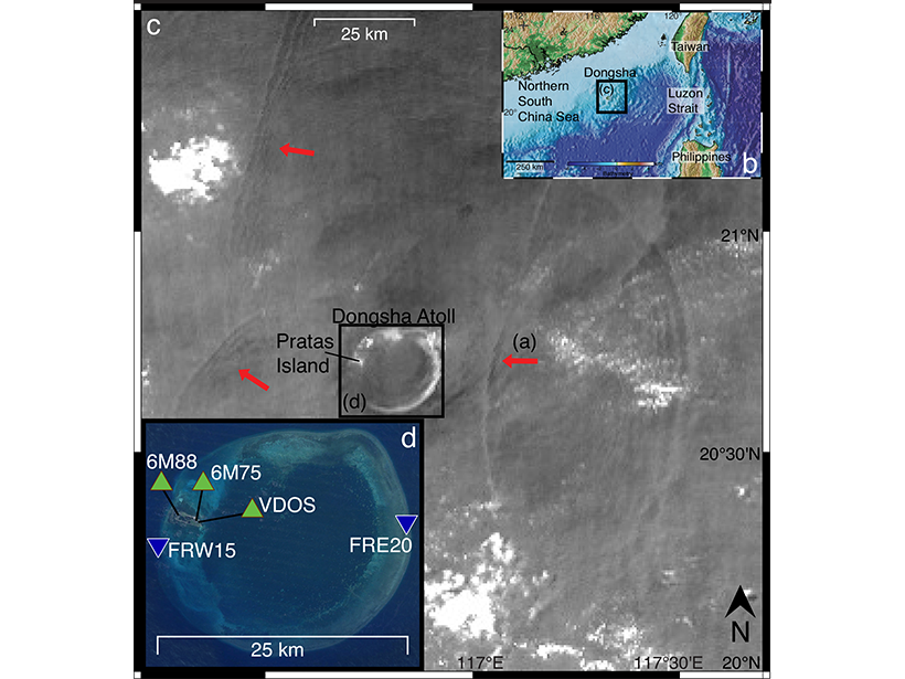
Atoll Seismometer Detection of Solitary Ocean Waves

by Thorsten W. Becker 10 September 202113 January 2022

Seismic recordings from the South China Sea indicate that subtle, daily tilting of shorelines due to passing internal ocean waves can be measured on land, promising new constraints on ocean dynamics.

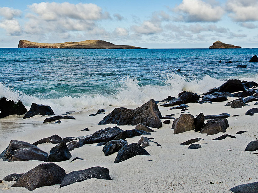
A coast of the Galapagos Islands in the eastern tropical Pacific
Posted inNews

Tropical Climate Change Is a Puzzle—Could Aerosols Be a Piece?

by Andrew Chapman 9 September 202114 April 2022

The eastern tropical Pacific Ocean hasn’t warmed as much as climate change models projected. A new study shows that aerosols in the atmosphere could be responsible.

Kominato Beach and Kopepe Beach, part of the Ogasawara Islands located in Japan
Posted inResearch Spotlights

First Report of Seismicity That Initiated in the Lower Mantle

by Jack Lee 19 August 20214 August 2023

A 4D back-projection method revealed that aftershocks of the 2015 earthquake beneath the Ogasawara (Bonin) Islands occurred as deep as about 750 kilometers.

Puysegur海沟
Posted inResearch Spotlights

俯冲起始可能取决于构造板块的历史

by David Shultz 28 July 20215 October 2022

对Puyssegur海沟的最新地震成像研究旨在解决板块构造的一个最主要问题。

Microbes live in hydrothermal systems like this one on the East Pacific Rise.
Posted inResearch Spotlights

Hydrothermal Vents May Add Ancient Carbon to Ocean Waters

Sarah Stanley, Science Writer by Sarah Stanley 7 July 202116 February 2023

Data from a long-distance research cruise provide new insights into carbon cycling in the eastern Pacific and Southern Oceans.

Saildrone uncrewed sailing vehicle
Posted inResearch Spotlights

Remote-Controlled Ocean Drones Observe Atmospheric Cold Pools

by Jack Lee 6 July 20216 April 2023

Novel uncrewed sailing vehicles measured properties of atmospheric cold pools in hard-to-reach regions of the central and eastern tropical Pacific Ocean.

The Puysegur Trench
Posted inResearch Spotlights

Subduction Initiation May Depend on a Tectonic Plate’s History

by David Shultz 21 June 202118 January 2022

New seismic imaging study of the Puysegur Trench aims to solve one of the last major questions in plate tectonics.

Lava that erupted from the Juan de Fuca Ridge formed these pillow and sheet flow basaltic rocks on the seafloor off the coast of Oregon.
Posted inResearch Spotlights

Magma Pockets Lie Stacked Beneath Juan de Fuca Ridge

Sarah Stanley, Science Writer by Sarah Stanley 14 June 202127 October 2021

Analysis of new imaging data suggests that vertically stacked magma chambers are short-lived and contribute to eruptions.

Two maps of the tropical Pacific Ocean showing difference in precipitation between a control model and observations (top panel) and a model with elevated Central American orography (bottom panel).
Posted inEditors' Highlights

Raising Central American Orography Improves Climate Simulation

by Sarah Kang 9 June 20218 March 2022

Elevation of Central American orography significantly reduces the pervasive tropical rainfall bias by blocking the easterlies and consequently warming the northeastern tropical Pacific.

Posts pagination

Newer posts 1 … 6 7 8 9 10 … 21 Older posts
A view of a Washington, D.C., skyline from the Potomac River at night. The Lincoln Memorial (at left) and the Washington Monument (at right) are lit against a purple sky. Over the water of the Potomac appear the text “#AGU24 coverage from Eos.”

Features from AGU Publications

Research Spotlights

Machine Learning Simulates 1,000 Years of Climate

27 August 202527 August 2025
Editors' Highlights

As Simple as Possible: The Importance of Idealized Climate Models

28 August 202526 August 2025
Editors' Vox

Waterworks on Tree Stems: The Wonders of Stemflow

21 August 202520 August 2025
Eos logo at left; AGU logo at right

About Eos
ENGAGE
Awards
Contact

Advertise
Submit
Career Center
Sitemap

© 2025 American Geophysical Union. All rights reserved Powered by Newspack