The Landslide Blog is written by Dave Petley, who is widely recognized as a world leader in the study and management of landslides.

Earlier this week a video appeared on social media showing a mine waste failure. The video is remarkable – probably the best example of a progressive failure of a mine waste dam that has appeared to date.
There was little information about the failure, but using Twitter we were able to narrow it down to Myanmar. From there I was able to use Planet Labs images to identify the site.
This is the video:-
It is a truly astonishing sequence, showing very clearly the way in which the dam itself fails progressively, and then rapidly collapses once the breach is initiated.
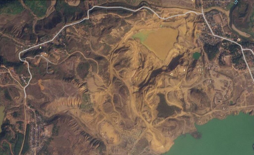
The location is [25.6821, 96.3366]. This is a Planet Labs image of the site, collected on 24 January 2024:-
This is the aftermath of the failure, also collected by Planet Labs:-
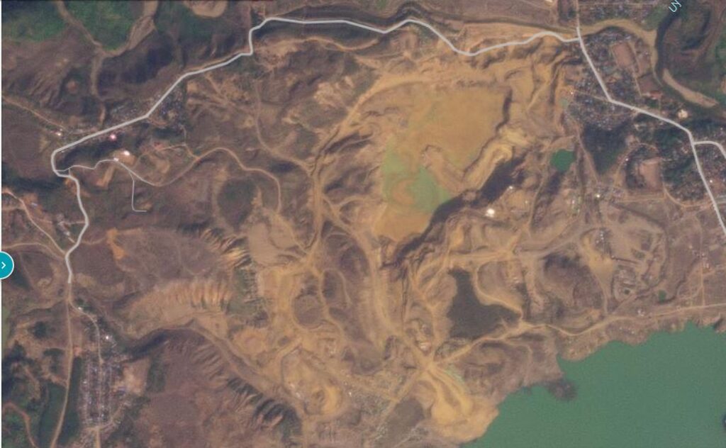
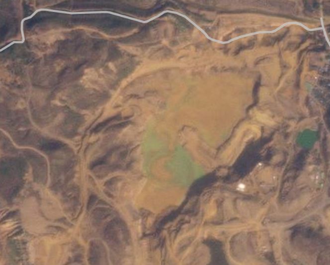
The breach in the dam can be clearly seen, with a substantial drawdown of waste in the pond. Fortunately, it appears that there was a lower basin that has intercepted the mine waste, preventing further escape of the material:-
Judging by the archive imagery, it is likely that this failure occurred on 25 January 2024, although I cannot preclude it having been a day earlier.
The pond that was breached was about 350 x 350 metres. It is hard to know how much material has escaped, but let’s assume that the level has fallen by 25 metres. This would give a volume of about 3 million cubic metres, so this was a very large event (as the video shows).
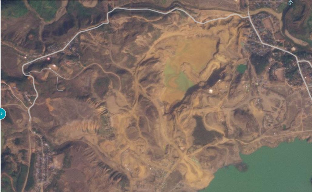
I have inserted a slider below so that you can compare the imagery, before and after:-

This area of Myanmar has a long and terrible history of landslides, as previous posts on this blog have shown. Sadly, it shows no sign of getting any safer.
Reference
Planet Team (2024). Planet Application Program Interface: In Space for Life on Earth. San Francisco, CA. https://www.planet.com/