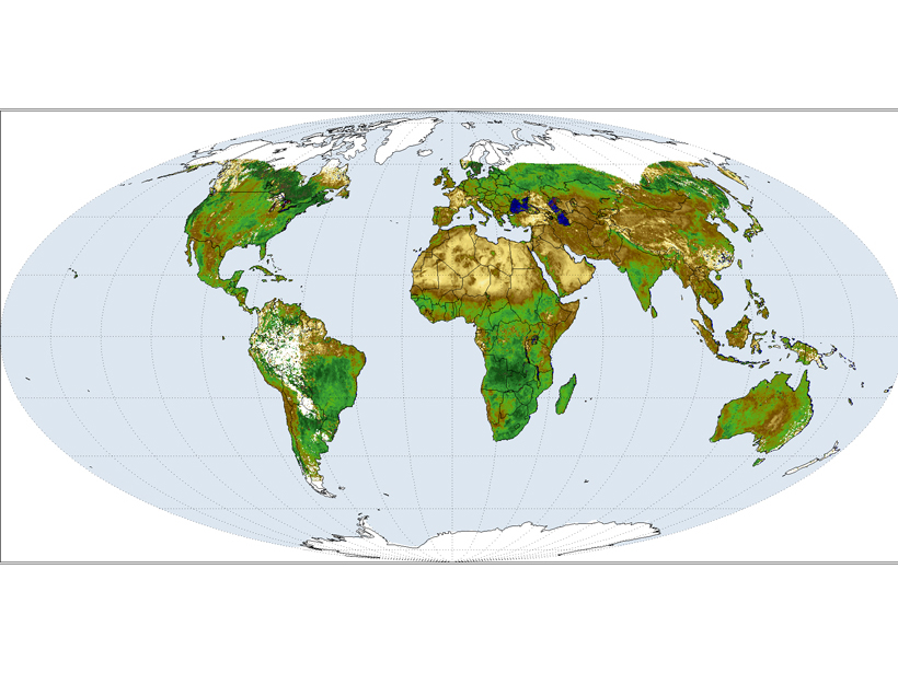
The Sustained, Coordinated Processing of Environmental Satellite Data for Climate Monitoring (SCOPE-CM) group is a network of agencies and operators of environmental satellite systems that promotes the continuous and sustained provision of high-quality data sets from satellites for climate monitoring. The SCOPE-CM group has been active since 2008 and is now in its second phase, the objectives of which are to increase the sustainability (reliable production and updates) and maturity of climate data record (CDR) generation capabilities and to promote structures for the generation of fundamental and thematic CDRs (Figure 1).

The SCOPE-CM Executive Panel held its annual meeting in March 2015 at the World Meteorological Organization’s (WMO) headquarters in Geneva, Switzerland. The goal of the meeting was to continue to facilitate development of a network of national space agencies in coordination with other organizations, including the WMO, the Coordination Group for Meteorological Satellites, and the Global Space-based Inter-Calibration System, in order to develop, extend, and preserve the operational generation of climate data records.
The meeting agenda included presentation of initial results and progress updates from the nine active, coordinated projects in this phase, which are focused on the ability to sustain the generation of fundamental CDRs from polar orbiters and geostationary satellites, as well as the generation of thematic CDRs tracking atmospheric wind vectors, upper tropospheric humidity, surface albedo (reflectivity), water vapor, liquid water path, and radio occultation products. The panel acknowledged the significant investments of in-kind resources for this effort being contributed by SCOPE-CM partners, including the China Meteorological Administration, the European Organisation for the Exploitation of Meteorological Satellites, the Japan Meteorological Agency, and the U.S. National Oceanic and Atmospheric Administration.
Access to as many existing operational satellite data sets as possible, as well as the active engagement of international climate experts, is essential to the ultimate success of the effort.
The agenda also included a strategic discussion of future directions for SCOPE-CM’s third phase and beyond. The current SCOPE-CM is not yet an operational entity but is building toward that goal under the panel’s guidance. The Executive Panel agreed that SCOPE-CM will continue to generate and elevate the maturity of key CDRs and welcome new international partners; the chair will extend invitations to potential SCOPE-CM partners before the next meeting. Panel members also agreed that access to as many existing operational satellite data sets as possible, as well as the active engagement of international climate experts, is essential to the ultimate success of the effort.
Although much of the meeting’s discussion was focused on the techniques, processes, data, and associated best practices required for sustained production of high-quality CDRs, participants also found that near-real-time “interim CDRs” are likely to emerge in the future as one of the key observation components needed for the timely provision of climate information services. The panel considered the impacts of reduced latency requirements (i.e., reducing the time between data collection and product delivery) for many operational climate information products and concluded that these should be considered as future, emerging challenges by each individual project.
—Edward J. Kearns, National Centers for Environmental Information, National Oceanic and Atmospheric Administration, Asheville, N.C.; email [email protected]; and Marie Doutriaux-Boucher, European Organisation for the Exploitation of Meteorological Satellites, Darmstadt, Germany
Citation: Kearns, E. J. and M. Doutriaux-Boucher (2015), International effort sustains and develops climate data records, Eos, 96, doi:10.1029/2015EO042185. Published 31 December 2015.
Text © 2015. The authors. CC BY-NC 3.0
Except where otherwise noted, images are subject to copyright. Any reuse without express permission from the copyright owner is prohibited.