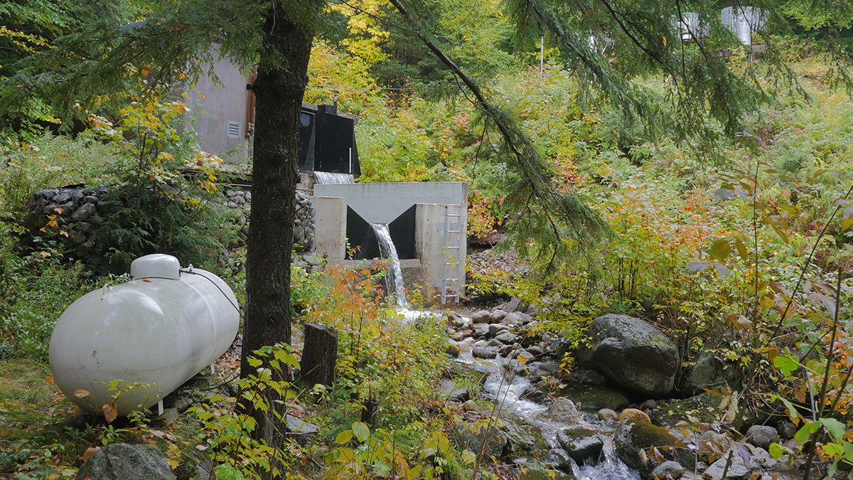
To save multigenerational science from administrative indifference, we must mandate stewardship continuity before closing physical facilities.
data management
Posted inNews
Have We Been Focusing on the Wrong Ocean Pollutants? This Study Maps What We’ve Been Missing
A global analysis of more than 2,300 seawater samples found that largely unmonitored industrial compounds are widespread across oceans and may be changing crucial biological and carbon cycling processes.

Posted inOpinions
The Genesis Mission Needs Hydrology: Here’s How to Incorporate It
By positioning water security as one of the “most challenging problems of this century,” the Genesis Mission can become the sandbox in which AI reshapes how the United States measures, models, and manages water.
Posted inThe Landslide Blog
Fatal landslides in March 2026
In March 2026 I recorded 61 fatal landslides causing 520 fatalities, the highest March total on record. This is my regular update for the number of fatal global landslides, focusing on March 2026. AAs usual, this data has been collected in line with the methodology described in Froude and Petley (2018) and in Petley (2012). References are listed […]

Posted inFeatures
Small, Faint, or Fast, Rubin Will Find It
The Vera C. Rubin Observatory is set to redraw the map of the solar system by discovering millions of small, fast-moving objects hidden all around us.
Posted inScience Updates
How to Accelerate Advances in Ecological Forecasting
Developing shared cyberinfrastructure can enhance predictions of ecological change and enable improved decisionmaking for resource management and public well-being.
Posted inEditors' Vox
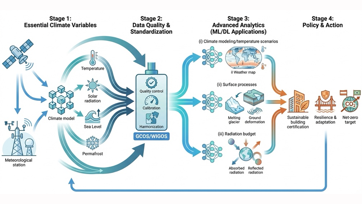
Bridging the Gap: Transforming Reliable Climate Data into Climate Policy
A new special collection welcomes research that bridges the gap between rigorous Essential Climate Variable (ECV) monitoring, AI analytics, and climate policy.
Posted inFeatures
The Looming Data Loss That Threatens Public Safety and Prosperity
Cuts to funding and staff needed to maintain trusted datasets of reference Earth system observations could limit their availability and quality, undermining hazard predictions and risk assessments.

Posted inScience Updates
Shining a Light on the People Behind Solar Science
A new database provides a comprehensive who’s who of scientists in solar and heliospheric physics research, offering a valuable resource for that community and a model for other fields to follow.
Posted inScience Updates
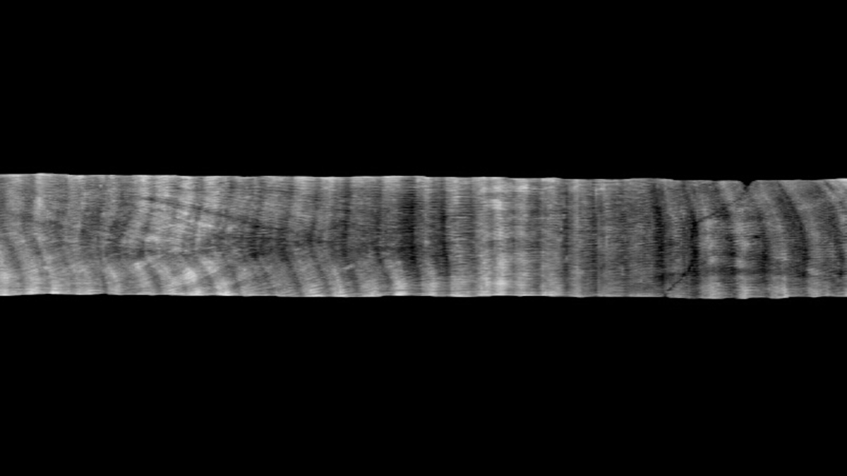
Un repositorio de núcleos de coral diseñado para la transparencia y accesibilidad
CoralCT archiva datos originales y procesados de núcleos de corales y arrecifes, preservando información valiosa sobre cómo los corales responden a cambios medioambientales.