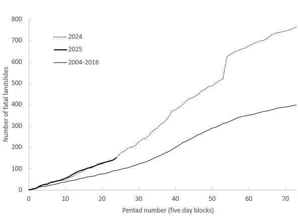
In April 2025, I recorded 41 fatal landslides that cost 107 lives. I’m somewhat behind with posting updates on global fatal landslides due to other workload pressures – please accept my apologies. Please be assured that I’m still collecting the data and that I will make a summary available as soon as I can. Somewhat […]
data management
Posted inScience Updates
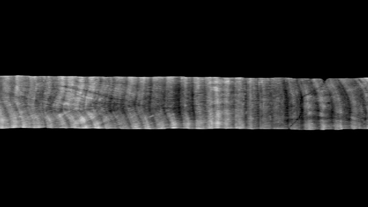
A Coral Core Archive Designed for Transparency and Accessibility
CoralCT archives raw and processed data from coral and reef core samples, preserving valuable insights into how corals respond to environmental changes.
Posted inResearch & Developments
NOAA’s Climate Website May Soon Shut Down
Climate.gov, NOAA’s portal to the work of their Climate Program Office, will likely soon shut down as most of the staff charged with maintaining it were fired on 31 May.
Posted inResearch & Developments
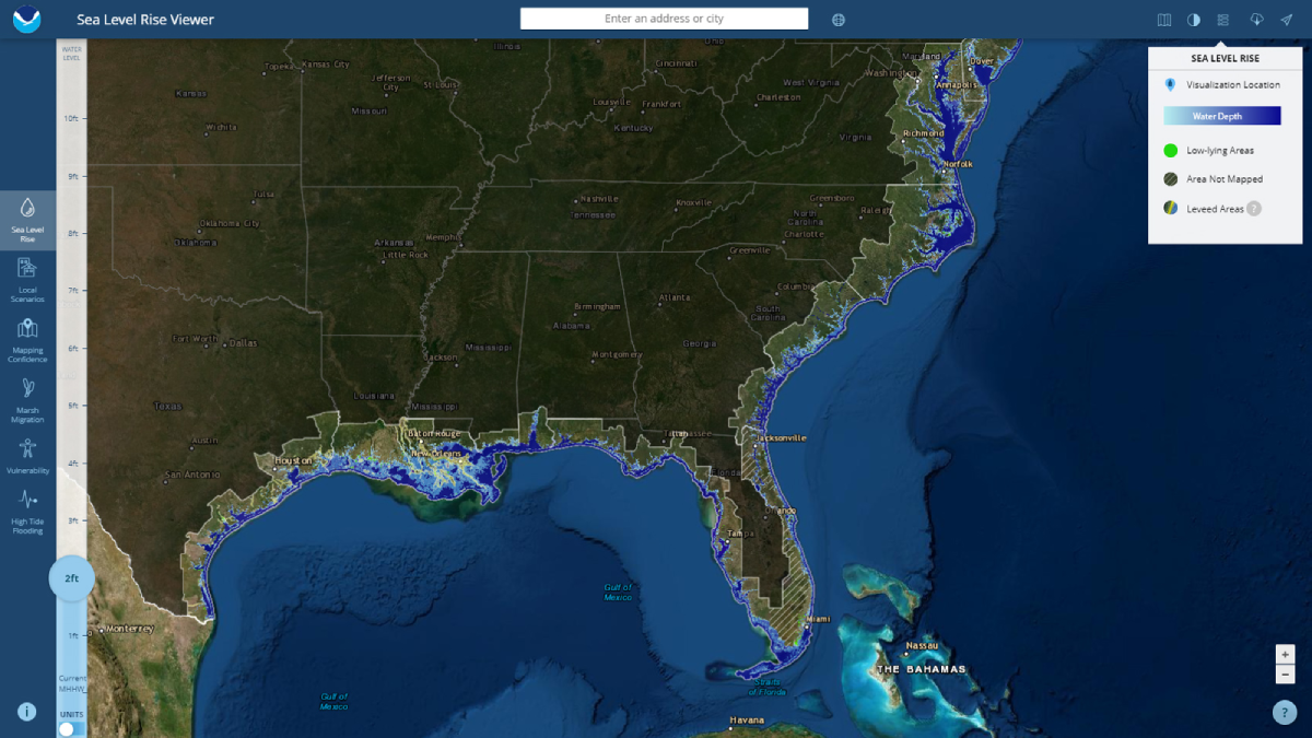
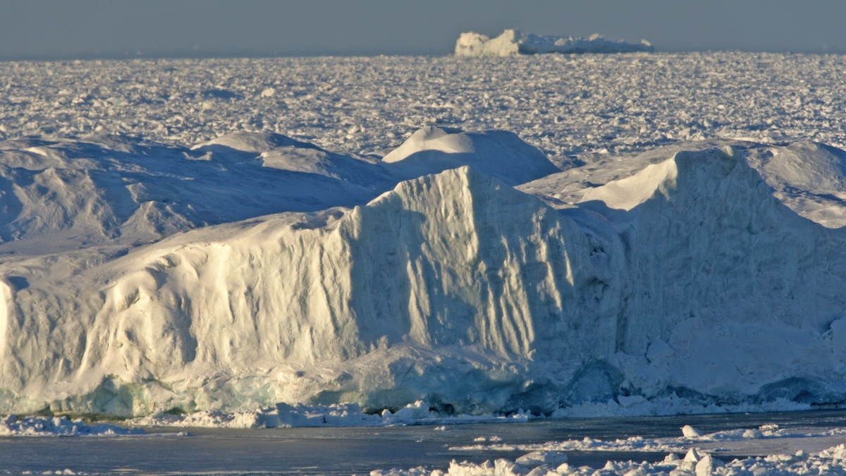
NOAA Halts Maintenance of Key Arctic Data at National Snow and Ice Data Center
The National Snow and Ice Data Center (NSIDC) may no longer actively maintain or update some of its snow and ice data products after losing support from NOAA’s National Centers for Environmental Information, according to a 6 May announcement.

Posted inResearch & Developments
NOAA Datasets Will Soon Disappear
NOAA has quietly reported that they will soon decommission 14 datasets, products, and catalogs related to earthquakes and marine, coastal, and estuary science.
Posted inNews
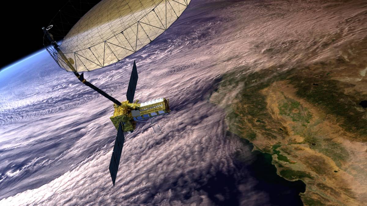
“Transformational” Satellite Will Monitor Earth’s Surface Changes
The mission, jointly operated by the United States and India, will measure minute changes to land, ice, and ecosystems around the globe.

Posted inScience Updates
Planting Seeds for Thriving Data Management
Learning how to manage research data is a core part of scientific education. The Earth Science Information Partners community has ideas to help early-career scientists build these important skills.

Posted inOpinions
The Valuable, Vulnerable, Long Tail of Earth Science Databases
Community-curated data resources in the Earth sciences, highly valuable but systematically underfunded, are vital to research on a changing planet.

Posted inFeatures
De los datos a las decisiones: cambiando las prioridades en las observaciones de la Tierra
La NASA está actualizando la forma en la que diseña e implementa las misiones de las Ciencias de la Tierra, para garantizar que sus datos y ciencia lleguen a los usuarios y a los responsables de la toma de decisiones de forma más rápida y eficaz.
Posted inNews
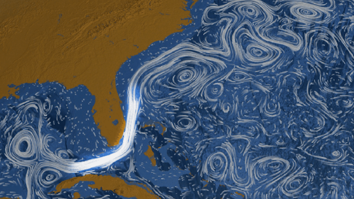
La corriente de Florida podría estar desacelerándose, pero no por mucho
Una corrección necesaria a un conjunto de datos ampliamente utilizados redujo las estimaciones de los científicos de cómo se ha debilitado la circulación oceánica.