
Online conferences simplify planning needs, lower barriers to participation for a global audience, and reduce environmental footprints, but scheduling, pacing, and moderating sessions can be challenging.
data management
Posted inResearch Spotlights
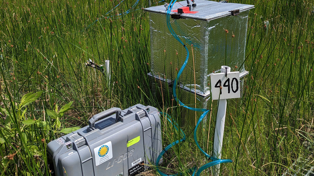
New Software Package Helps Scientists Find Flux
An easy-to-use R package offers a more efficient way to sort through and analyze data about greenhouse gas levels collected in static chamber experiments.
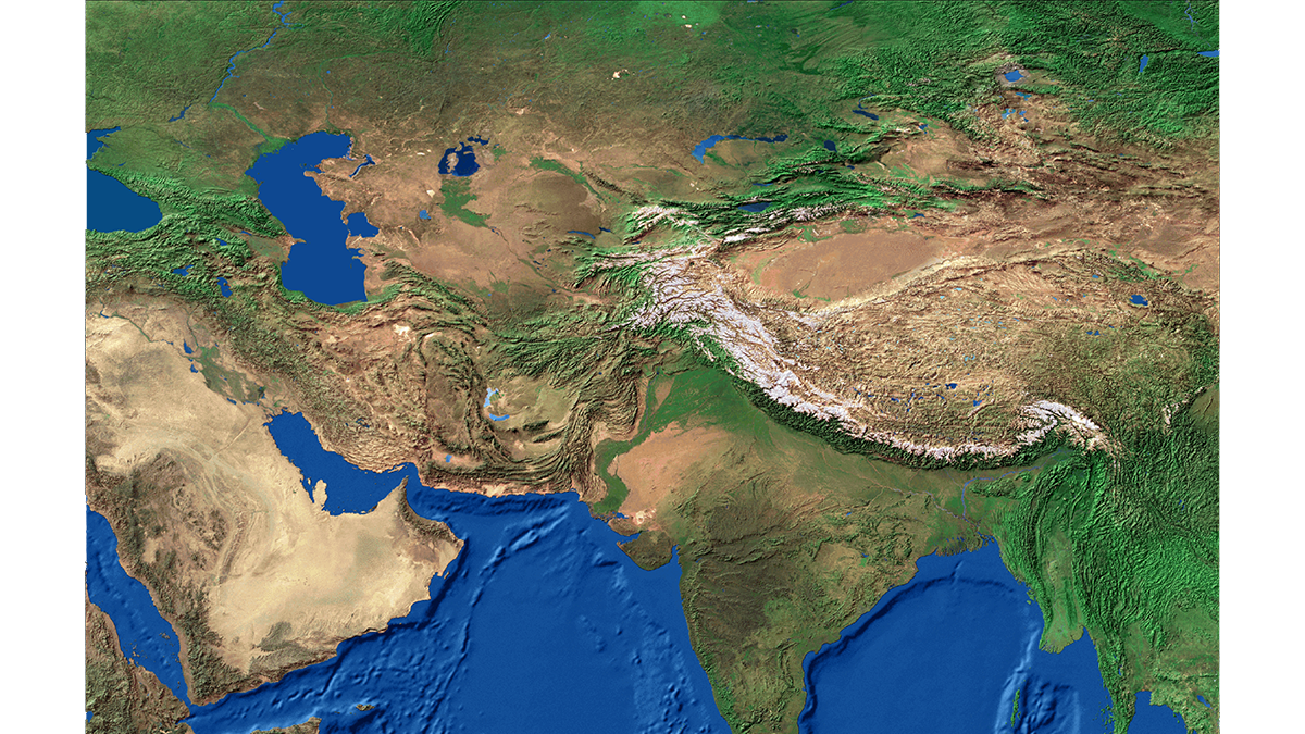
Posted inEditors' Vox
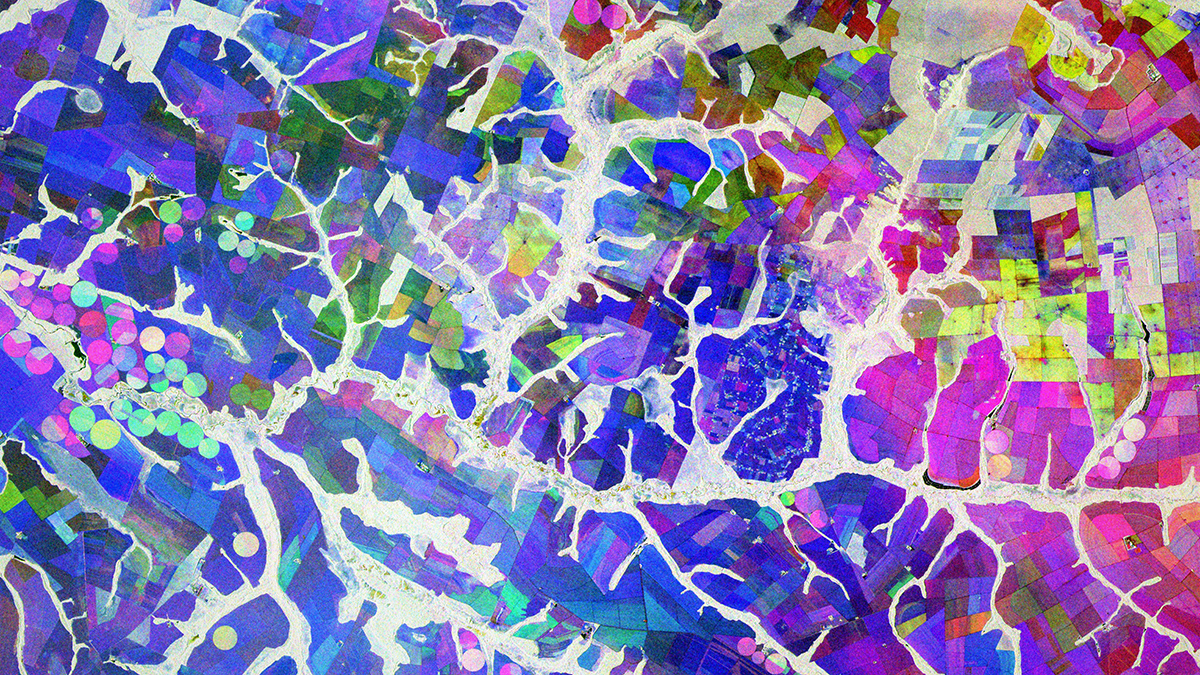
Unlocking the Power of Synthetic Aperture Radar for Geosciences
Due to its unique ability to monitor Earth’s surface, Synthetic Aperture Radar plays a pivotal role in revolutionizing the geosciences.
Posted inScience Updates
A Cloud-Based Solution to a Radar Data Deluge
An open-science tool built to support NASA missions is making synthetic aperture radar, once the domain only of subject matter experts, more accessible for nonspecialists and real-world applications.
Posted inNews
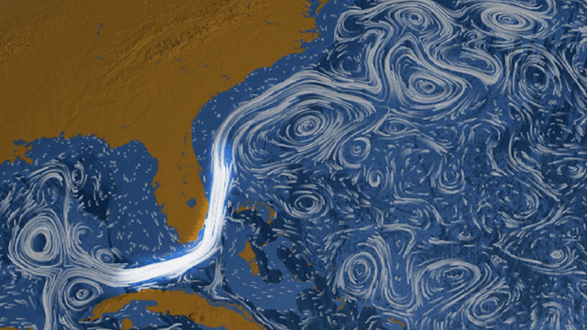
The Florida Current May Be Slowing Down, but Not by Much
A needed correction to a widely used data set reduced scientists’ estimates of how ocean circulation has weakened.

Posted inFeatures
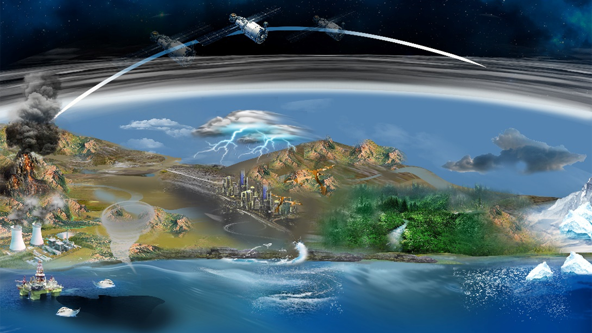
Data to Decisions: Changing Priorities for Earth Observations
NASA is updating how it designs and implements Earth science missions to ensure their data and science reach users and decisionmakers faster and more effectively.

Posted inOpinions
Democratizing Science in the Cloud
CryoCloud opens scientific research and education to a broader range of cryosphere researchers with a cloud-based interactive computing environment, training, and community support.

Posted inFeatures
Brandon Whitehead: Unifying Data to Streamline Discovery
A data scientist coheres disparate data sets so that Earth scientists can get the most out of infor-mation.

Posted inNews
New Zealand Has a Unique Fossil Record Named FRED
The near-complete database reflects a spirit of trust and collaboration among the country’s scientific community—but will it last?
Posted inEditors' Vox
Harmonizing Theory and Data with Land Data Assimilation
Land data assimilation advances scientific understanding and serves as an engineering tool for land surface process studies, reflecting the trend of harmonizing theory and data in the big data era.