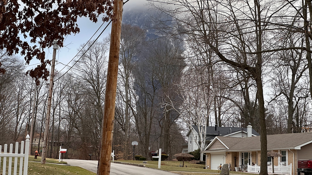
Researchers drove around a van outfitted with a sensitive mass spectrometer to measure airborne chemicals weeks after the disaster.
data management

Posted inScience Updates
A Holistic Approach to Hydropower Data
A new online platform offers comprehensive data and tools about U.S. hydropower assets, enabling data-driven decisionmaking at the energy–water nexus.

Posted inFeatures
Frances Lightsom: Pivoting to Information Management
Frances Lightsom started her career as an oceanographer. Then she found delight in data.

Posted inOpinions
Finding Harmony in FAIRness
The lack of consistency among different approaches for assessing how well digital data objects meet the FAIR principles makes it difficult to compare assessment results across tools and systems.
Posted inFeatures
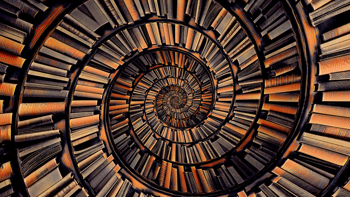
The Art of Scientific Curation
Scientific content curation provides users across diverse disciplines and levels of experience with a valuable means of accessing relevant and reliable information amid the growing data landscape.

Posted inOpinions
Taking the Pulse of Global Change with World Heritage Data Sets
Applying World Heritage status to highly valuable environmental records would spotlight the vital insights they provide into how Earth is changing and would ensure their longevity and accessibility.

Posted inOpinions
We Need a Better Way to Share Earth Observations
A more accessible, open data-sharing infrastructure will engage a broader community of contributors, helping to develop satellite data products that benefit Earth science research and applications.

Posted inFeatures
A Common Language for Reporting Earthquake Intensities
Scientists are working together to establish a standardized international scale for measuring and reporting the intensities and impacts of earthquake shaking.
Posted inFeatures
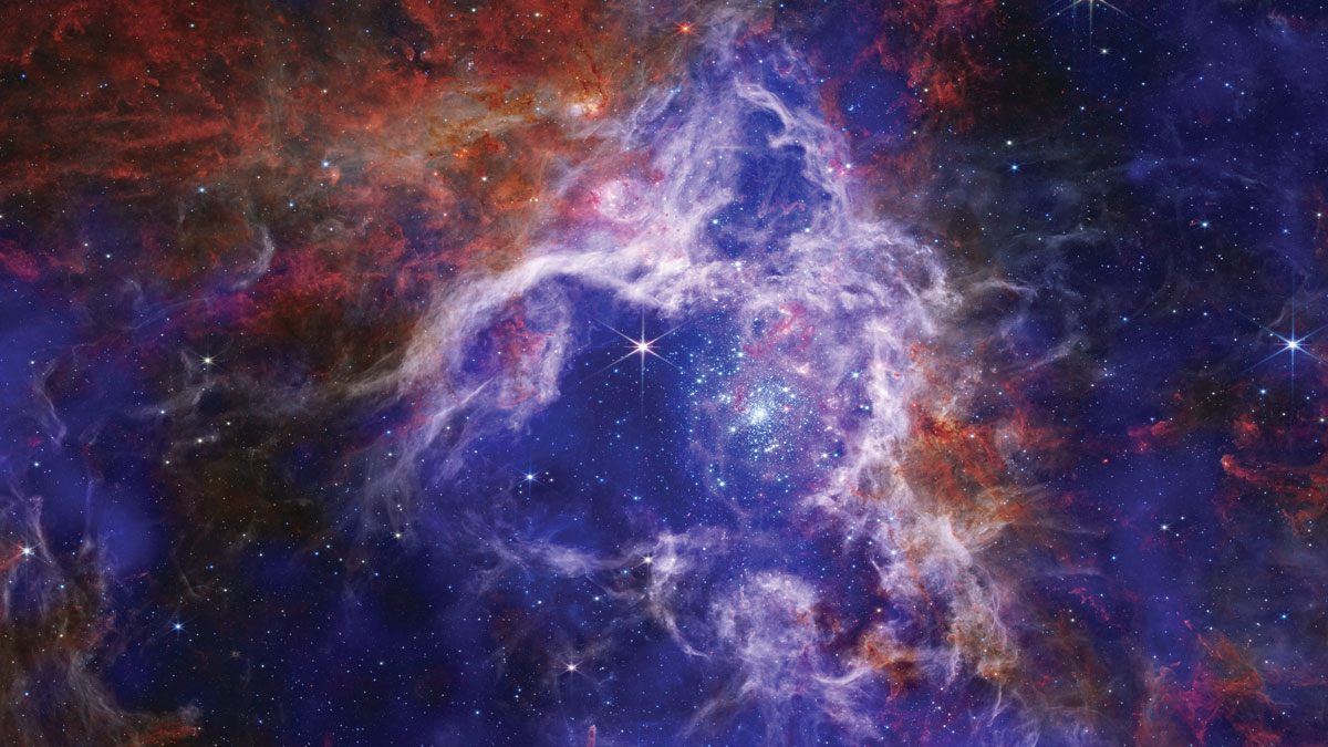
Deluges of Data Are Changing Astronomical Science
Astronomers today are more likely than ever to access data from an archive rather than travel to a telescope—a shift that’s democratizing science.
Posted inAGU News
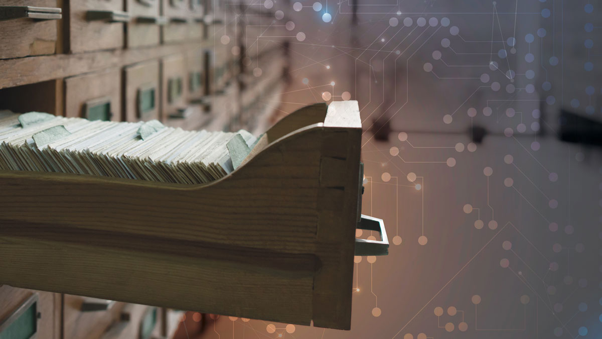
Your Databases Need a Reboot
Scientists are reassessing dated data in the time of the Cloud.