
A new book explores how Earth science knowledge addresses critical global challenges including sustainable development, disaster risk reduction, and climate change.
data management

Posted inNews
Social Media Supplements Science During Natural Disasters
Information shared on social media platforms could help scientists gather real-time data and assist agencies in relief efforts.
Posted inEditors' Vox
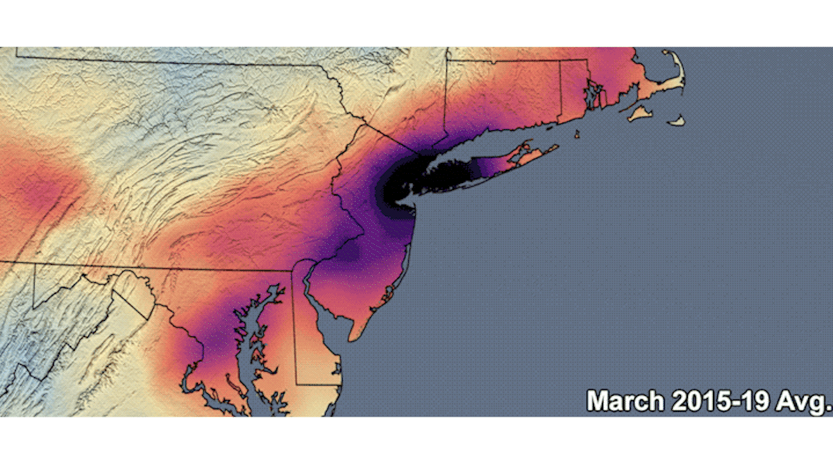
Using Data to Mitigate Inequitable Environmental Burdens
A new transdisciplinary special collection welcomes studies exploring data and tools for identifying and mitigating environmental injustice.
Posted inEditors' Highlights
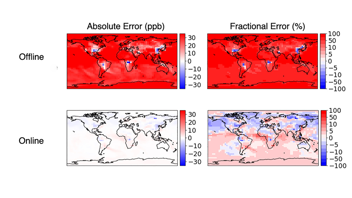
Accurate and Fast Emulation With Online Machine-Learning
Online training produces more accurate and stable machine-learned models than classic offline learning from big data sets.

Posted inEditors' Highlights
Western US Adjoint Tomography Reproduces Waveform Complexity
Adjoint tomography employing 3D wavefield simulations for 72 well recorded regional earthquakes in the western U.S. yields spectacular improvements to waveform fits.

Posted inEditors' Vox
The Big Data Revolution Unlocks New Opportunities for Seismology
The field of seismology is entering a new era where our understanding of earthquakes and the solid earth is increasingly driven by new Big Data experiments and algorithms.

Posted inOpinions
Playing It Safe in Field Science
Researchers face many risks when working in the field. Documenting past and future accidents and safety incidents can help identify patterns and practices to keep scientists out of harm’s way.

Posted inOpinions
Credit Where Credit Is Due
Promoting open, inclusive, transparent, and traceable science requires that scientists revamp the ways in which we acknowledge all manner of contributions to research.

Posted inNews
Open and Fair Data in Tropical Forests
People who gather ground data on tropical forests are highly disadvantaged compared to the users of such data. A new paper suggests long-term collaborations as a path forward.
Posted inResearch Spotlights
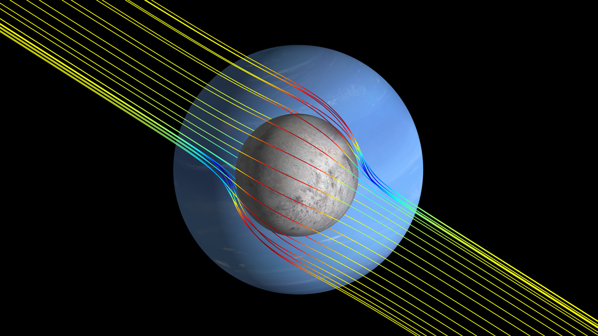
Encontrando los océanos ocultos de las lunas usando campos magnéticos inducidos
Un análisis de componentes principales de modelos especulativos puede predecir con más seguridad que las técnicas anteriores la p^ppresencia de un océano subsuperficial en un objeto planetario.