Rivers are fragmented by large and small dams the world over, be it for power generation, water supply, or flood control. Direct impacts of such fragmentation include barriers to sediment and nutrient flow and isolation of fish populations. To better quantify river fragmentation, researchers have designed a novel index, the catchment area-based fragmentation index (CAFI), as described in a paper published last month.
In contrast to current methodologies that determine river fragmentation on the basis of river length, CAFI and its derivative, the rainfall-based fragmentation index (CARFI), use catchment area as an indicator of the extent of river habitat.
Suman Jumani, a freshwater ecologist at the University of Florida and lead author of the new study, said that catchment area is a good predictor of the volume of water flowing in a stream. Additionally, she added, a catchment is relatively easy to quantify, so it “works well as a proxy for in-stream habitat availability.”
Robust Contribution to Quantifying Fragmentation
The new index provides a robust analysis of river connectivity, a crucial measurement of healthy rivers with aquatic biodiversity, researchers say.
Both CAFI and CARFI can be used to quantify how rivers are fragmenting in size and over time. Catchment areas increase in size as rivers move downstream, and dams positioned farther downstream in watersheds are expected to cause greater habitat fragmentation. CAFI and CARFI can account for the wildly different effects of dams depending on where they are built, whereas indices based on river length are less suited to differentiating between the fragmentation effects of dams located at upstream versus downstream positions in watersheds.
CAFI works well in areas where rainfall is largely uniform, whereas CARFI incorporates rainfall intensity in addition to catchment area, making it useful in mountainous landscapes where precipitation is highest at the ridge and reduces as streams flow downslope.
Comparing California and Karnataka
The new quantification allows policymakers to better evaluate development plans such as site selection for dam building and the effects of restoration for dam removal.
Essentially, the indices track how individual dams affect river fragmentation. This quantification allows policymakers to better evaluate development plans such as site selection for dam building and the effects of restoration for dam removal.
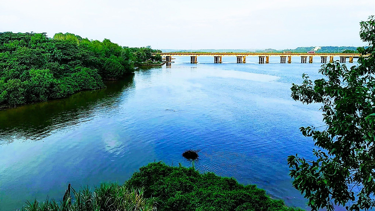
The researchers applied the indices to two contrasting case studies: the Klamath River in California, where not only has dam building ceased but dam removal has begun, and the Netravati River in the state of Karnataka, South India, where 65 dams are proposed for development. CAFI was applied to the Klamath, and CARFI was applied to the Netravati, which flows through the mountainous landscape of the Western Ghats.
The researchers found that river fragmentation on the Klamath went through three distinct phases. Dam construction between 1840 and 1910 led to minimal fragmentation across the basin because the dams were located on headwater streams that had relatively small catchment areas. Between 1920 and 1960, as dams were increasingly located downstream or closer to the main stem of the river, larger catchment areas were affected, resulting in higher basin-wide fragmentation. River fragmentation on the Klamath took another shift during the decade between 2002 and 2012, when eight small dams were removed from tributaries. Fragmentation decreased and is set to decrease further if plans to remove four more large dams from the main stem Klamath River proceed.
As for the Netravati, researchers found a “steep increase” in fragmentation after 2010, attributed largely to the construction of five new dams along the main channel of the river. Future dam construction will further increase basin-level fragmentation, the paper found.
Challenges of River Conservation in India
Jumani and her coauthors emphasize that CAFI “does not replace” ground-level or even project-specific impact assessments. From a policy perspective, “this is key because though the indices capture a lot [of data], the nuances remain to be supplemented,” said Avli Verma, a researcher at Manthan Adhyayan Kendra, a nonprofit investigating water and energy development in India. She did not contribute to the new research.
In India, Verma said, the indices could help inform decisions related to emerging river interventions. Examples of interventions include demolitions and reconstructions of barrages and navigation locks, as well as the development of canals and tunnels.
The indices are particularly suited to developing countries in the tropics, which hold massive potential for future dam development. These regions are often data deficient, but with CAFI and CAFRI, “catchment area can be delineated with any surface elevation model on a GIS platform and rainfall can be ascertained through global datasets such as WorldClim,” the paper notes.
“We have to look at the totality of what is happening across a river’s basin.”
Other researchers disagree about the utility of the new indices. In particular, the scope of data offered by CAFI and CAFRI is very limited in a country like India, where challenges to river governance are not just data driven, said Himanshu Thakkar, a coordinator at the South Asia Network on Dams, Rivers and People. Thakkar, who did not contribute to the paper, listed some of those challenges as large-scale sand mining, deforestation, and dishonest environmental impact assessments. “We have to look at the totality of what is happening across a river’s basin,” he stressed.
In fact, the 65 small hydropower dams on the Netravati analyzed in the new paper, Thakkar said, don’t require environmental impact assessments at all. These dams produce fewer than 25 megawatts of power, and in India, hydropower facilities that produce fewer than 25 megawatts are classified as renewable energy projects and are exempt from environmental impact assessments. “There are no assessments for such projects, no public hearings [to take into account concerns of local communities], no monitoring and compliance. So how can such indices help?” Thakkar asked.
Verma, on the other hand, noted that scientists and policymakers need such studies to “have proper scientific assessment of what all we are looking at when we deal with multiple barriers to water flow in rivers.” Nevertheless, she added, it is true that more ground-level information would make the study stronger, and this point is “well-flagged” in the paper.
Jumani and the other authors maintained that the indices are part of a set of tools for river governance and not intended to be used in isolation. “This index, like most other works of science, is not intended to solve or address the gamut of river governance issues,” she said.
—Rishika Pardikar (@rishpardikar), Science Writer