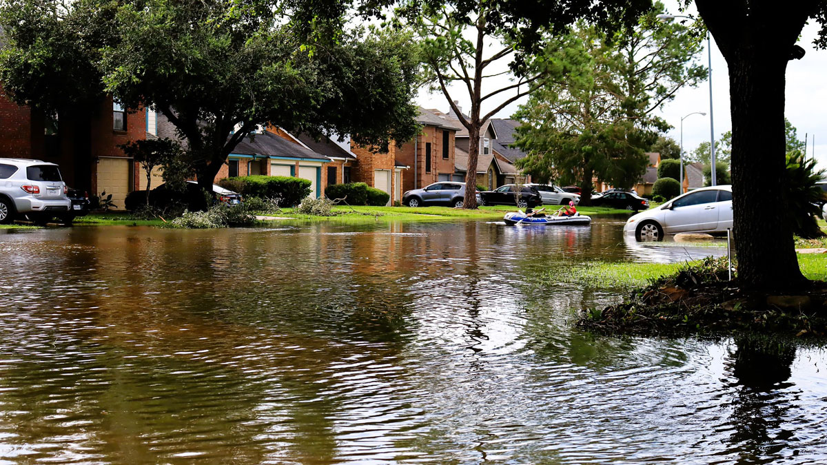
Wetlands protect communities and ecosystems from flooding. A new study quantifies their financial importance.
watersheds
Posted inOpinions
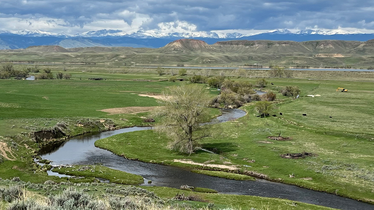
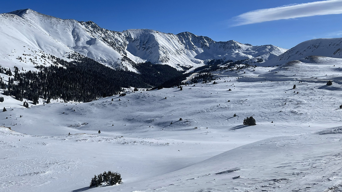
Archetypes Could Accelerate Agricultural Adaptation to Less Snowpack
Measurable characteristics can be used to develop archetypes of complex agricultural systems, helping stakeholders to assess where different adaptation strategies are more likely to succeed.
Posted inResearch Spotlights
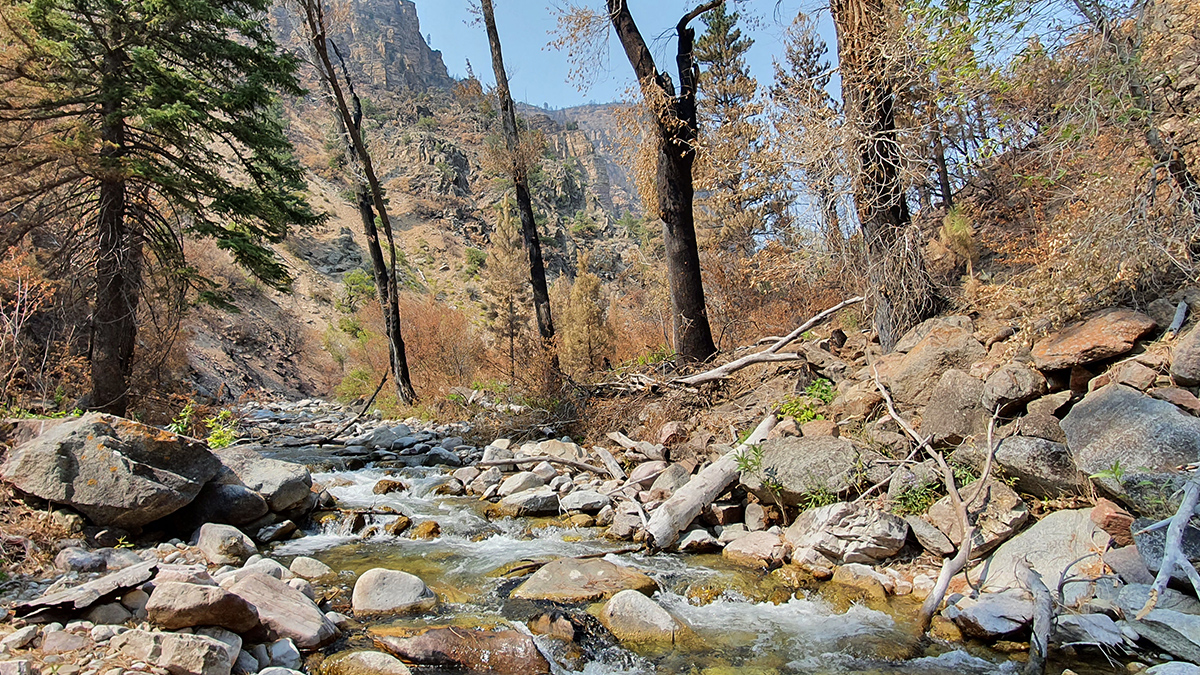
How Wildfires Worsen Flood Risk
A new approach to analyzing watersheds shows how storms occurring after a wildfire can have higher flooding risk than similar storms that occurred before a fire.
Posted inResearch & Developments
New USGS Tool Fills in the Gaps on U.S. Water Supply
The National Water Availability Assessment Data Companion is the first tool that integrates information about water availability in individual watersheds at a national scale.
Posted inNews
What’s Below the Great Salt Lake? More Water
Pools of fresh water and salt water not far below the lake bed help explain some of the lake’s curious features, including mineral mounds and reed islands.

Posted inScience Updates
An Art-Science Partnership Offering New Views of Dynamic Landscapes
The immersive and interactive WILDLAND exhibition allowed the public—and the exhibition’s creators—to explore connections among water, trees, fire, and other natural and human-made materials expressed across a spectrum of artistic approaches.
Posted inNews
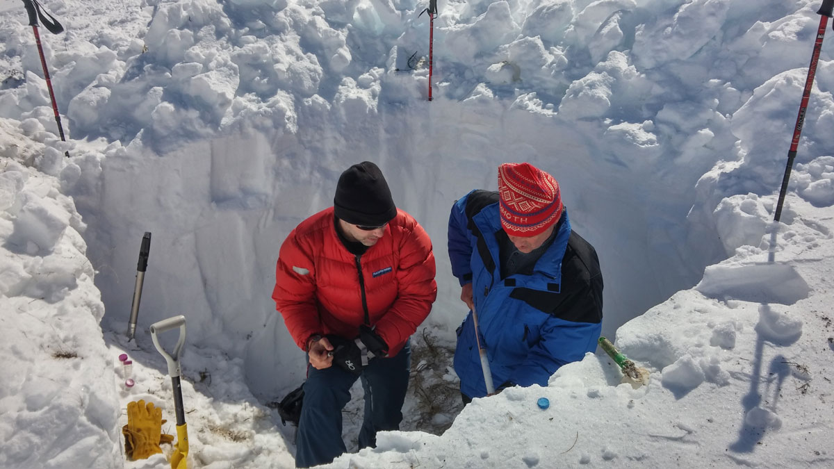
When the Snow Melts, Microbes Bloom
A new study illuminates a complex and changing world of microbes and nitrogen cycling that occurs during the winter.
Posted inResearch Spotlights
New River Chemistry Insights May Boost Coastal Ocean Modeling
By more realistically accounting for river inputs, researchers reduced overestimation of the amount of carbon dioxide absorbed by coastal waters.
Posted inNews
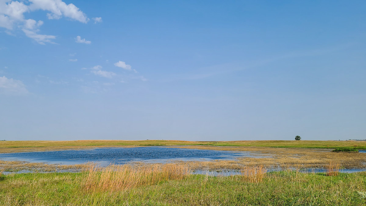
After Sackett, a Wisconsin-Sized Wetland Area Is Vulnerable
An analysis of wetland legal frameworks shows how water rules could leave millions of hectares without meaningful protections.
Posted inFeatures
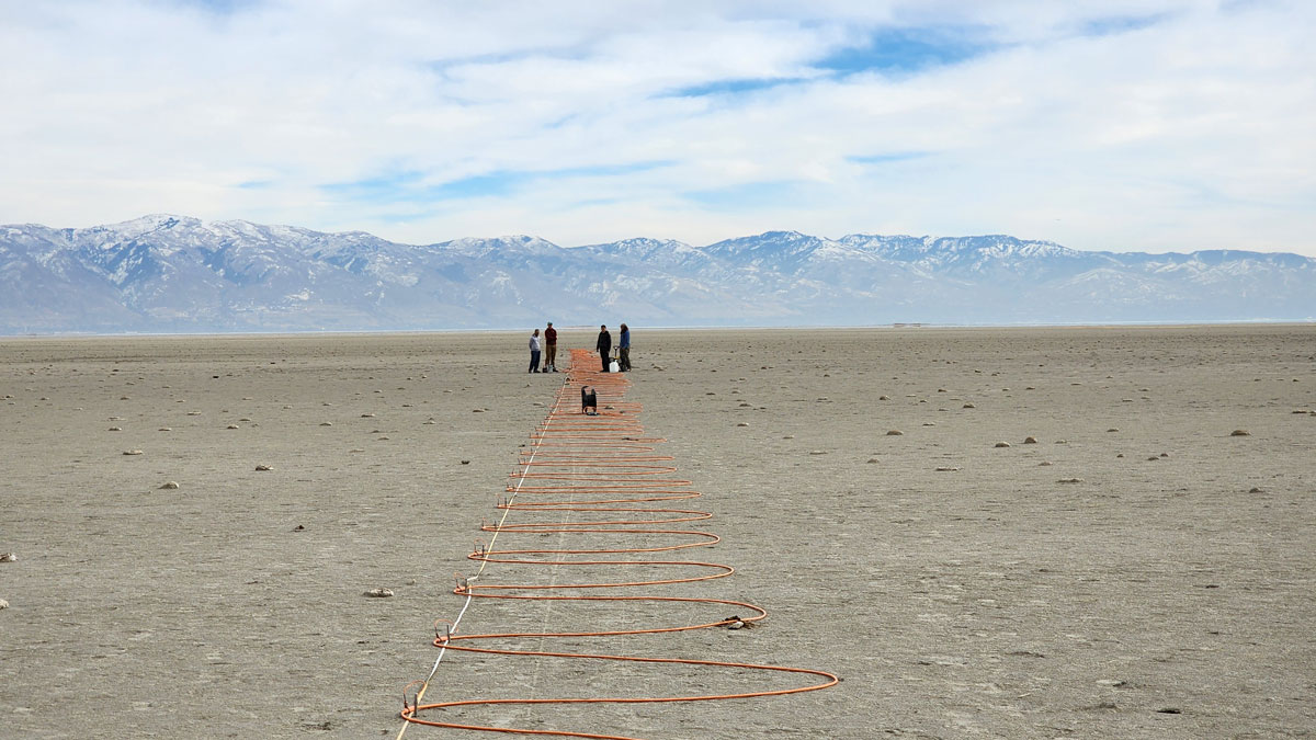
Satellite Radar Advances Could Transform Global Snow Monitoring
The recent SnowEx campaign and the new NISAR satellite mission are lighting the way to high-resolution snowpack monitoring and improved decisionmaking in critical river basins around the world.