A new study of nutrient levels in soil cores supports oral Indigenous history, informing future estuary restoration efforts.
watersheds
Posted inResearch Spotlights
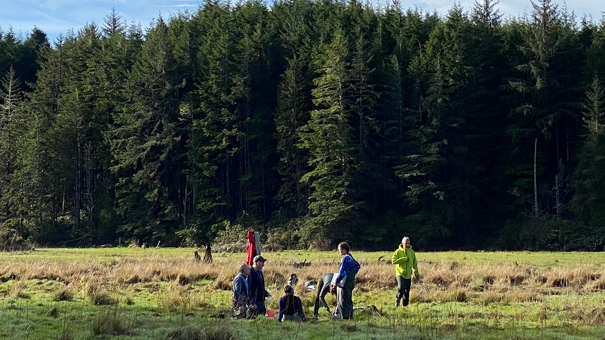
Watershed Sustainability Project Centers Place-Based Research
A community science project supports an innovative watershed management plan.
Posted inNews
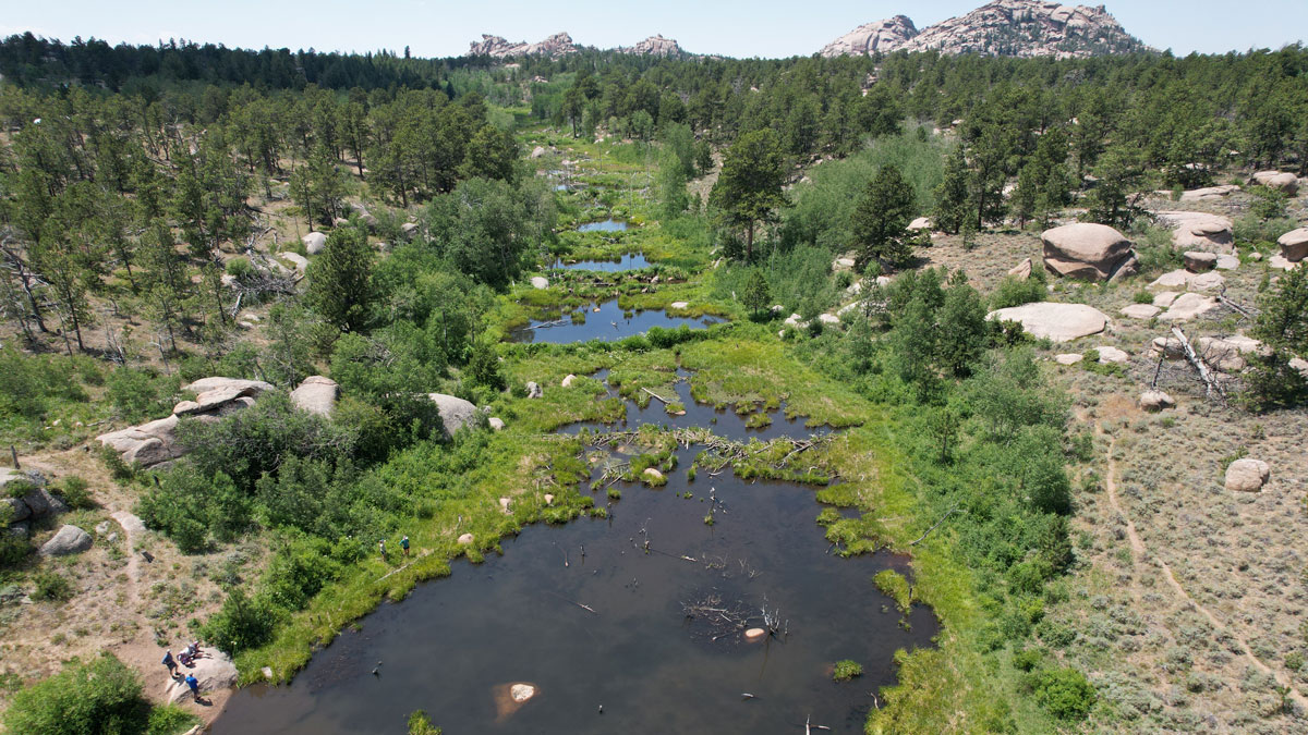
What Makes Beaver Ponds Bigger?
For the first time, researchers are able to add hydrologic estimates to find where reintroducing beavers could best benefit a watershed and the humans who live within it.
Posted inResearch Spotlights
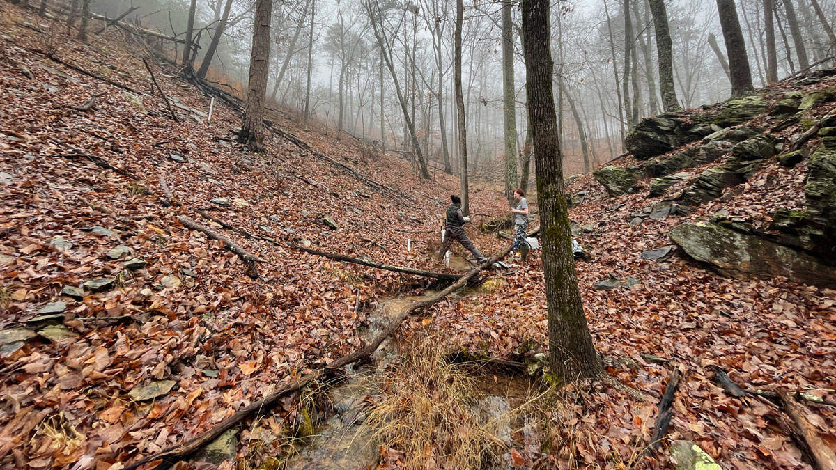
The “Surprising” Effect of Drying Headwaters on Nitrogen Dynamics
Contrary to predictions, spring rains caused a decrease in nitrogen at watershed outflows in Alabama.

Posted inEditors' Highlights
Strange Branching of Water Flows Through Rivers and Lakes
Sometimes rivers split into branches in unusual ways, reflecting the complexity of Earth’s water system on land and how much we still must learn about it.
Posted inResearch Spotlights
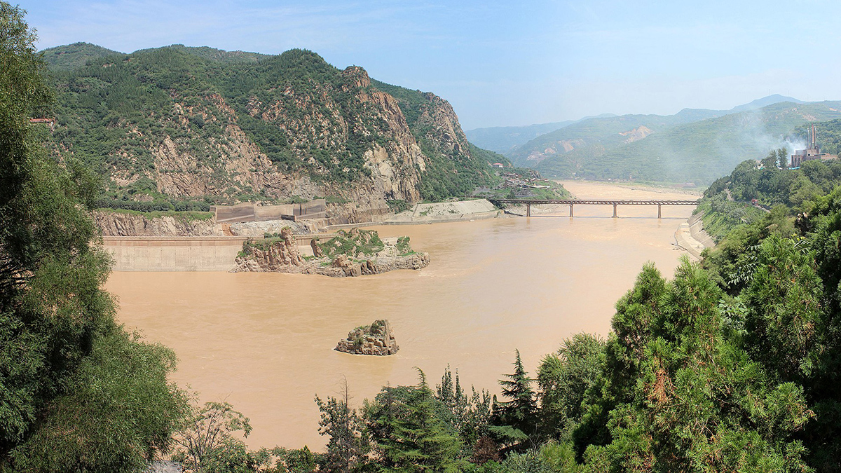
Tracing Metals from Earth to Water to Life in the Yellow River
The mix of metals in China’s Yellow River stays relatively similar as it moves from the upper continental crust to biological life.
Posted inNews
Mobile Bay Has More Branching Brooks Than Shown on Federal Maps
A more accurate charting of the full extent of stream networks will help land managers better protect U.S. creeks and rivers.

Posted inNews
California Storms Recharged Watersheds, Geodesy Data Reveal
The atmospheric rivers that soaked the state in early 2023 released enough water to warp the ground and douse a deep drought.

Posted inEditors' Highlights
Improvements to Measuring the Ups and Downs of the Landscape
If you are a jazz fan, you may be familiar with Ella Fitzgerald singing ‘How deep is the ocean, how high is the sky’. Using data from the Shuttle Radar Topography Mission we now know how high the land really is.

Posted inEditors' Highlights
How Does Subsurface Lithology Speak to Hillslope Morphology?
Subsurface flow hydrology connects soils and bedrock lithology to long-term catchment evolution in humid landscapes.