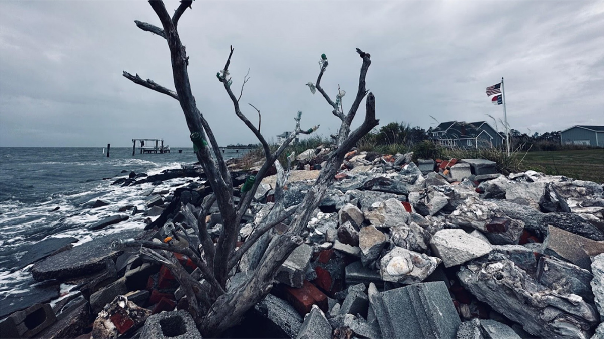
An interdisciplinary network of scientists and stakeholders is working to understand how saltwater intrusion and sea level rise are affecting rural communities and to help address the consequences.
water supply
Posted inOpinions
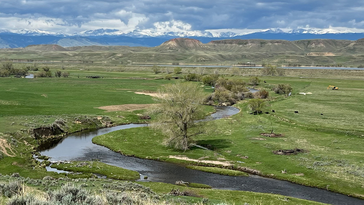
Archetypes Could Accelerate Agricultural Adaptation to Less Snowpack
Measurable characteristics can be used to develop archetypes of complex agricultural systems, helping stakeholders to assess where different adaptation strategies are more likely to succeed.
Posted inResearch & Developments
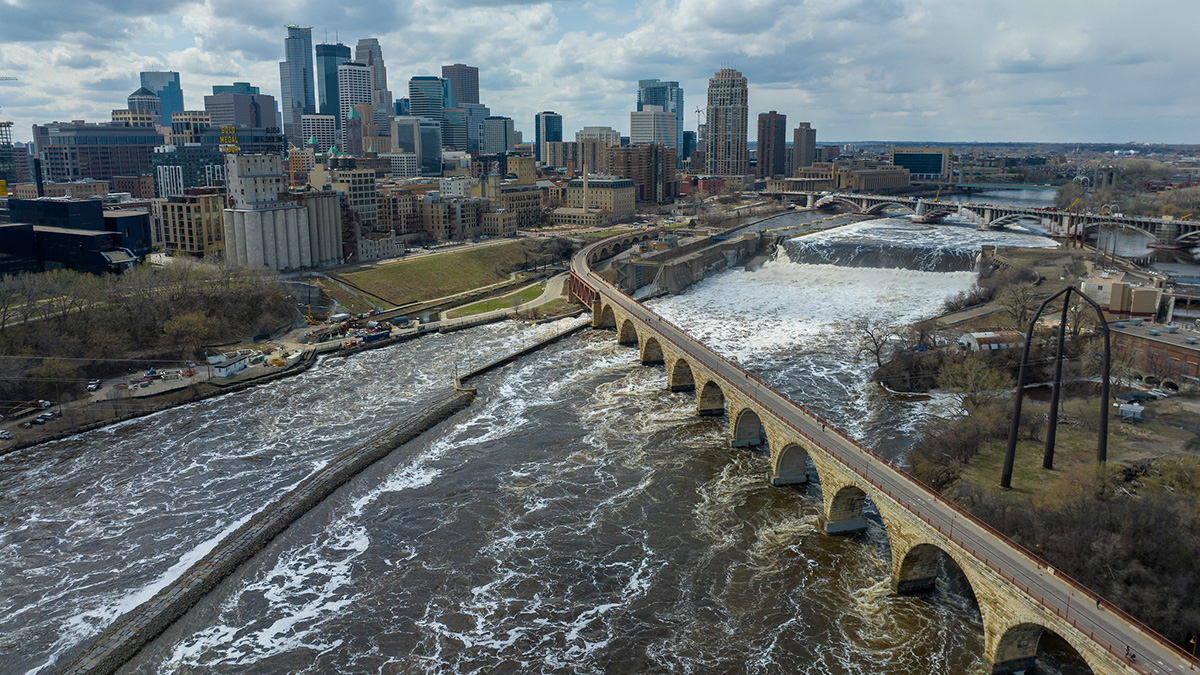
New USGS Tool Fills in the Gaps on U.S. Water Supply
The National Water Availability Assessment Data Companion is the first tool that integrates information about water availability in individual watersheds at a national scale.
Posted inOpinions
The Genesis Mission Needs Hydrology: Here’s How to Incorporate It
By positioning water security as one of the “most challenging problems of this century,” the Genesis Mission can become the sandbox in which AI reshapes how the United States measures, models, and manages water.


Posted inEditors' Highlights
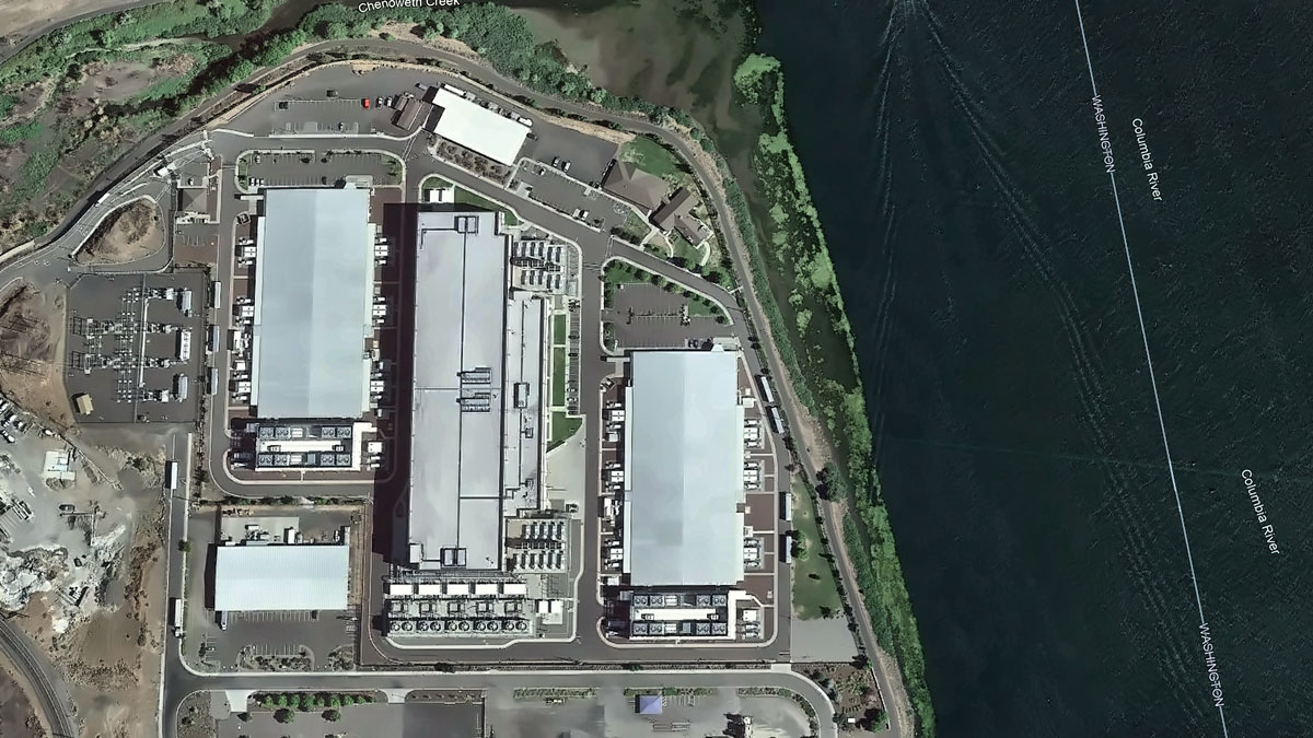
The Multi-Faceted Water Footprint of Data Centers
Data centers powering artificial intelligence consume significant amounts of water, highlighting the need for greater transparency regarding water use in both existing and planned facilities.
Posted inNews
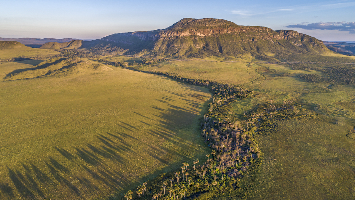
These Underprotected Brazilian Wetlands Store Carbon with Staggering Density
The Cerrado, largely overlooked in climate science and policy, is a critical carbon sink, according to new research.

Posted inResearch Spotlights
A Road Map to Truly Sustainable Water Systems in Space
Future astronauts need efficient, durable, and trustworthy closed-loop systems to provide water for missions lasting months to years.
Posted inResearch & Developments
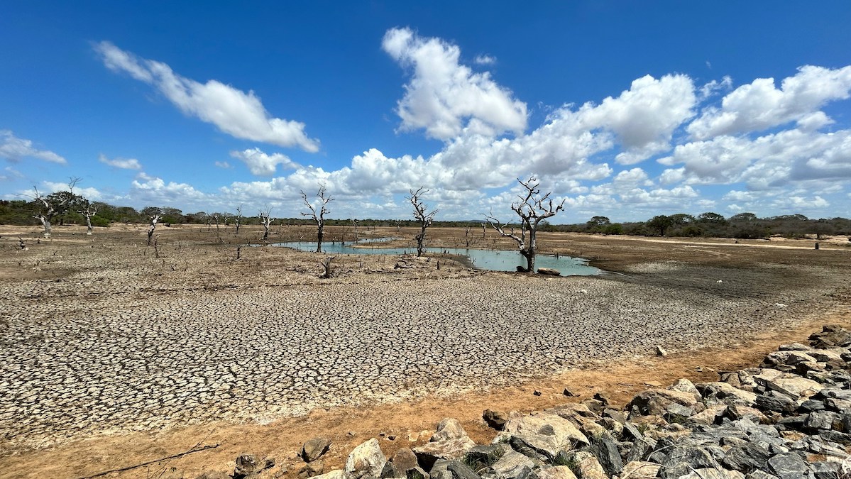
We Are “Living Beyond Our Hydrological Means,” UN Report Warns
Humanity has overspent and depleted freshwater in the world’s aquifers, glaciers, wetlands, and other natural reservoirs to an irreversible degree, according to a new United Nations report.
Posted inEditors' Highlights
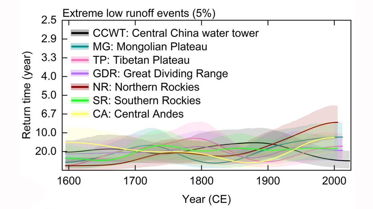
Central China Water Towers Provide Stable Water Resources Under Change
A new reconstruction of river runoff from 1595 shows that Central China water towers deliver the most stable water supply from the high mountain ranges of the Pacific Rim.