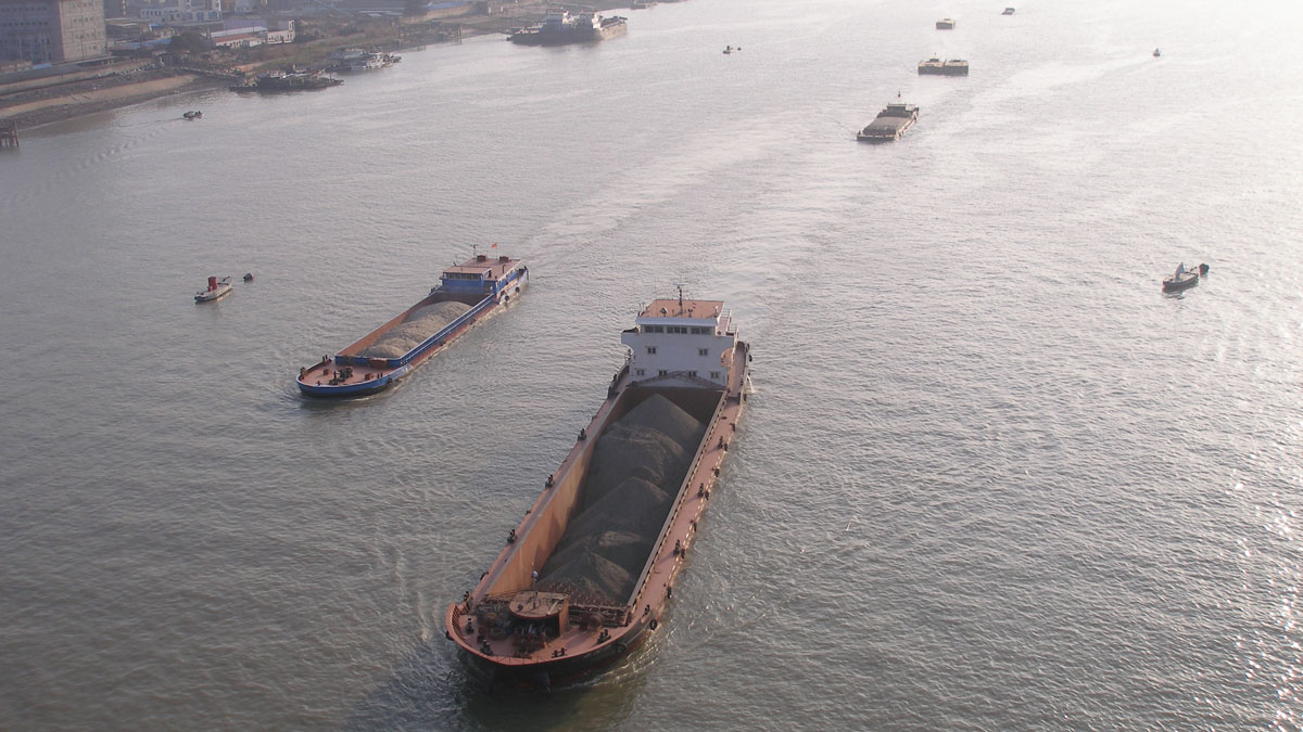
Tidal subharmonics help push water levels higher in tidal rivers.
rivers
Posted inThe Landslide Blog
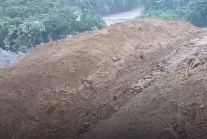
A valley-blocking landslide in Lower Siang district, Arunachal Pradesh, India
A large landslide in India, triggered by monsoon rainfall, was captured on a remarkable video. On Monday 29 June 2026, a valley-blocking landsldie occurred on the Siji River in Lower Siang district, Arunachal Pradesh, India. I have yet to track down the precise location of this event, but it is in the region of [27.7146, […]
Posted inOpinions
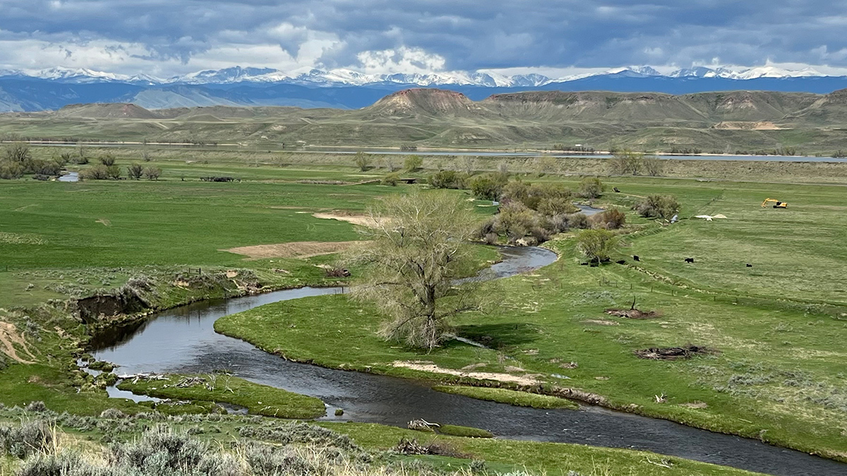
Archetypes Could Accelerate Agricultural Adaptation to Less Snowpack
Measurable characteristics can be used to develop archetypes of complex agricultural systems, helping stakeholders to assess where different adaptation strategies are more likely to succeed.
Posted inResearch Spotlights
Keeping Humans in the Loop Improves Flood Forecasting
Artificial intelligence and machine learning can improve flood predictions—but human expertise still matters for accurate warnings, new research says.

Posted inEditors' Highlights
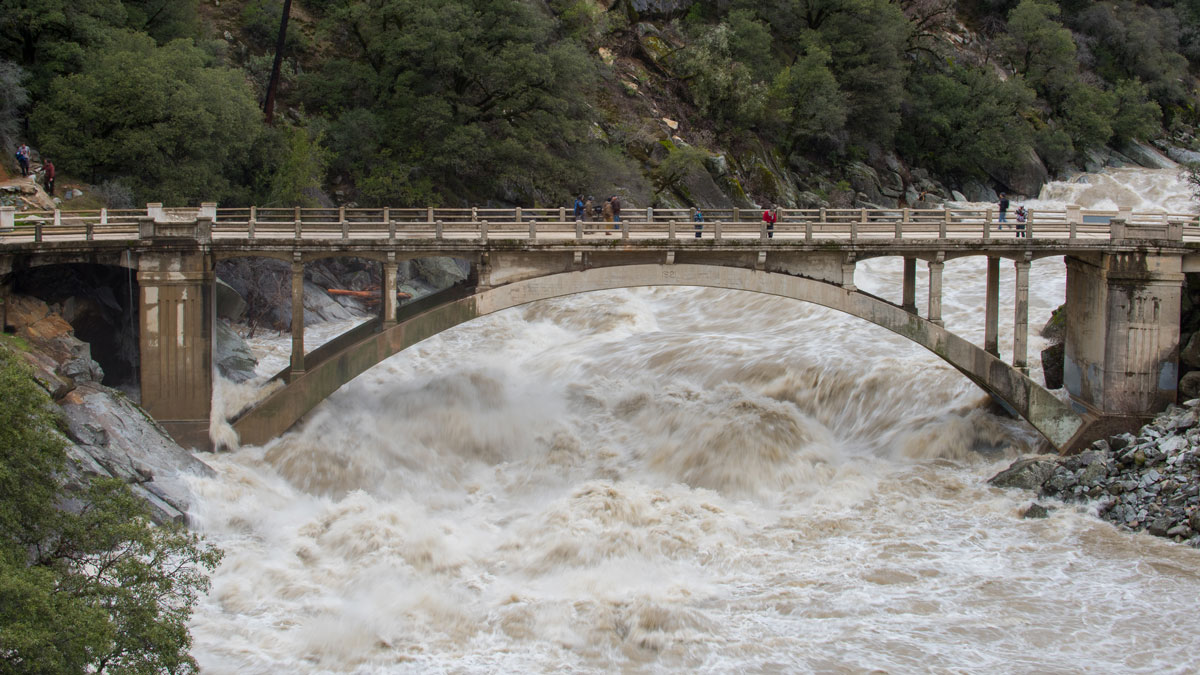
Small and Large Grains Move Differently in Water
A shift in perspective: flume experiments show that grain entrainment is far more complex than traditional models suggest.
Posted inEditors' Highlights
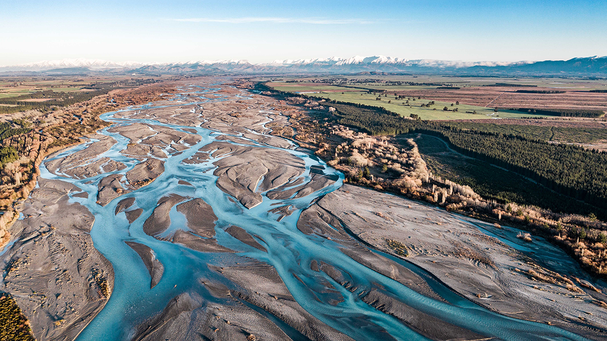
More Braided Rivers from Increasing Flow Variability
Global analysis of satellite data and river flow records show that higher flow intermittency after climate change may lead to an increasing number of threads in braided rivers, thus impacting ecosystems.

Posted inEditors' Highlights
Models Reveal Imprint of Tectonics and Climate on Alluvial Terraces
Mechanistic models are used to show how different drivers, including sediment and water supply, uplift and subsidence, and sea-level variations, affect the shapes and formation of extensive terraces.
Posted inResearch Spotlights
Denitrification Looks Different in Rivers Versus Streams
A study directly comparing waterways of different sizes revealed important differences in nitrogen dynamics across seasons.
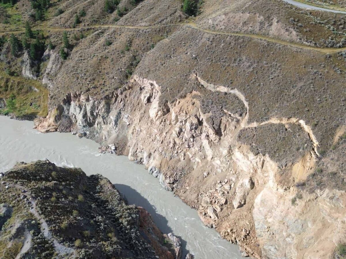
Posted inThe Landslide Blog
The evolving landslide threat at Farwell Canyon on the Chilcotin River in British Columbia
There are concerns about the potential impact of an incipient landslide at Farwell Canyon on the Chilcotin River in British Columbia, Canada. On 30 July 2024, a large landslide occurred on the Chilcotin River in British Columbia, Canada, blocking the flow. The scale of the landslide was massive – on the BC website about the […]
Posted inResearch Spotlights
New River Chemistry Insights May Boost Coastal Ocean Modeling
By more realistically accounting for river inputs, researchers reduced overestimation of the amount of carbon dioxide absorbed by coastal waters.