
In May 2025, a 950 m wide landslide occurred on the banks of the Yukon River in Canada.

A few days ago, the Yukon Geological Survey posted some information to its Facebook site regarding a large landslide that has occurred on the banks of the Yukon River close to Burma Road. This was the information that they posted:-
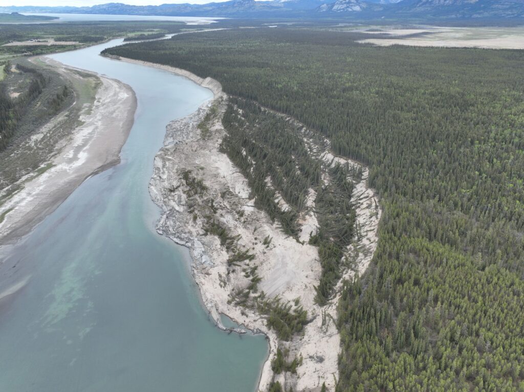
GS staff visited the landslide on the east bank of the Yukon River near Burma Road on June 4th. The landslide is 950 m wide, up to 250 m long and approximately 20 ha in area.
Based on satellite imagery and river user reports, the slide occurred between May 14–18. It’s a compound landslide of clay, silt & sand from Glacial Lake Laberge sediments deposited at the end of the last glaciation. The slide moved through translation, rotational sliding and spreading.
The slide extended below the riverbed, thrusting sediments and vegetation several metres above river level—creating spectacular classic landslide landforms.
The photo is an oblique view of slide looking north. Several minor scarps can be seen in front of the main headscarp.
And this is the rather amazing image of the landslide:-
The location of this landslide is [60.89369, -135.13024]. This is a Planet Labs image from 11 May 2025 showing the site of the failure:-
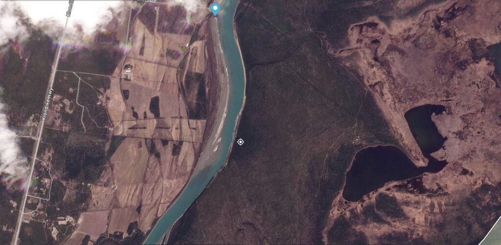
I have placed a white target marker on the site of the rear scarp of the landslide. This is an image after the failure:-
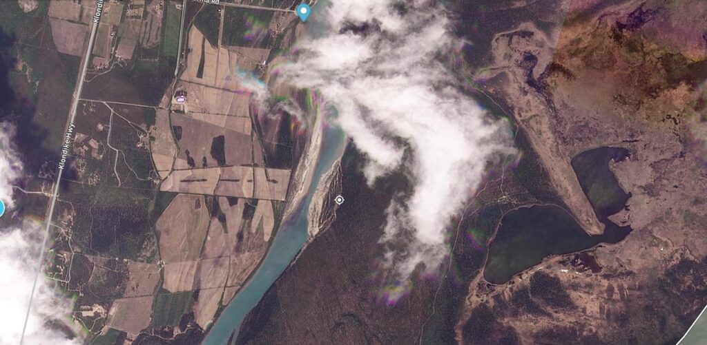
And here is a slider to compare the two images:-


Whilst the river has been narrowed significantly by this landslide, it is likely to be eroded away quite quickly given the fine grained materials involved. Landslides of this type are part of the functioning of the natural system, providing the mechanism through which the river can meander across the plain.
Reference and acknowledgement
Thanks to loyal reader Maurice Lamontagne for highlighting this landslide to me.
Planet Team 2025. Planet Application Program Interface: In Space for Life on Earth. San Francisco, CA. https://www.planet.com/