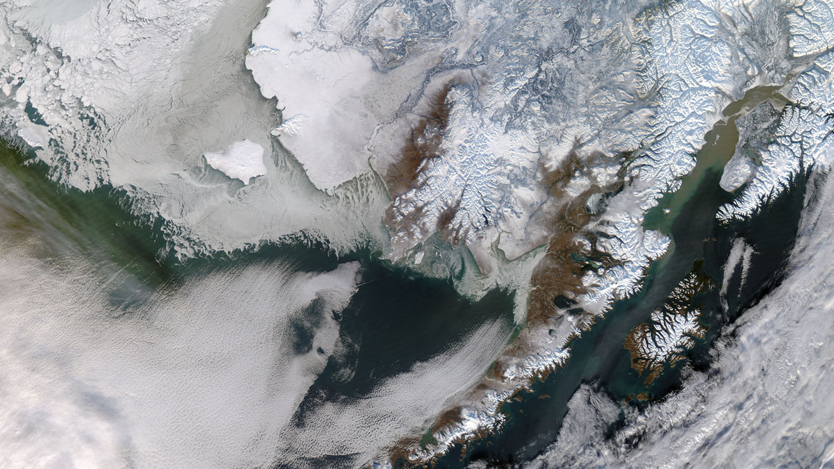
Researchers are blending Indigenous Knowledges with climate models to describe shifts in snow and ice.
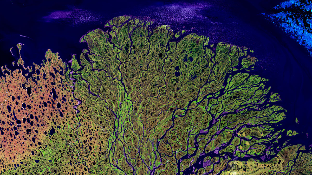
rivers
Posted inResearch Spotlights
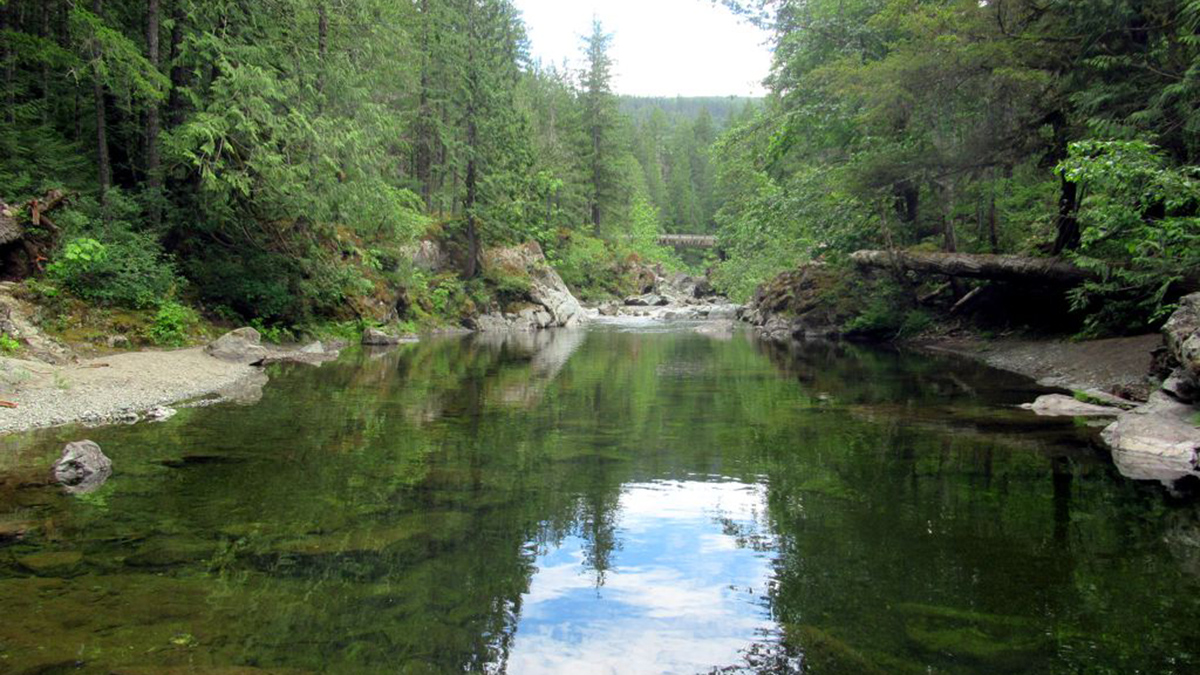
Watershed Sustainability Project Centers Place-Based Research
A community science project supports an innovative watershed management plan.
Posted inEditors' Highlights
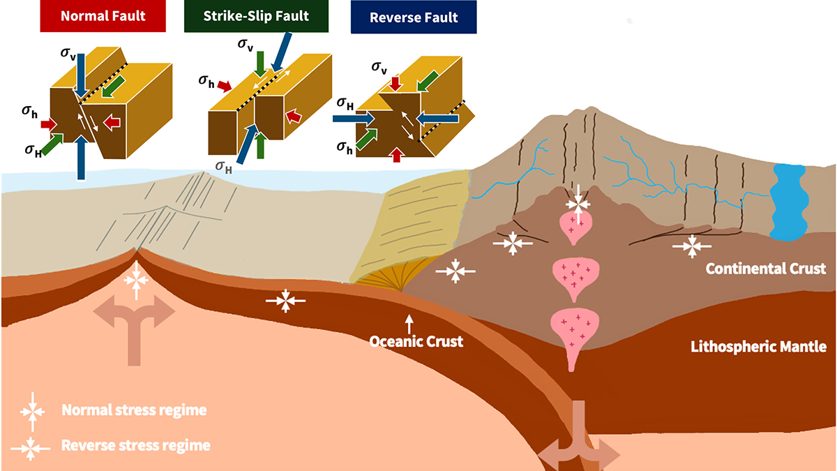
From Mantle Flow to River Flow: Shaping Earth’s Surface from Within
The convection of the Earth’s mantle shapes its surface, carving fault networks into the lithosphere that can guide the course of rivers.
Posted inNews
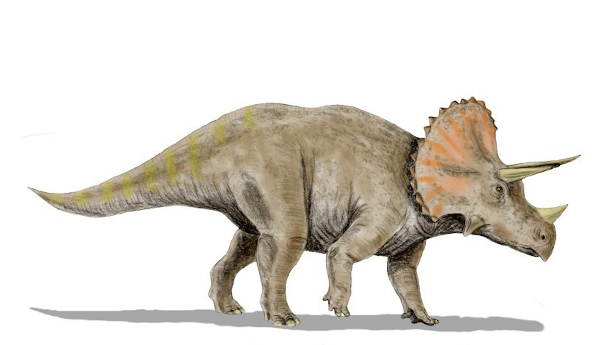
Move Over, Beavers. Dinosaurs Might Also Have Been Nature’s Engineers
Late Cretaceous dinosaurs may have cut back vegetation, creating large floodplains. When the asteroid hit, those floodplains became forests, a new study argues.
Posted inNews
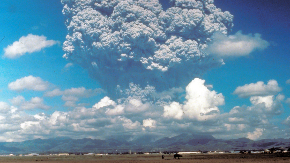
Volcanic Eruptions in One Hemisphere Linked to Floods in the Opposite One
Asymmetric volcanic plumes may shift equatorial weather patterns and increase tropical stream flow, according to new simulations.
Posted inResearch Spotlights
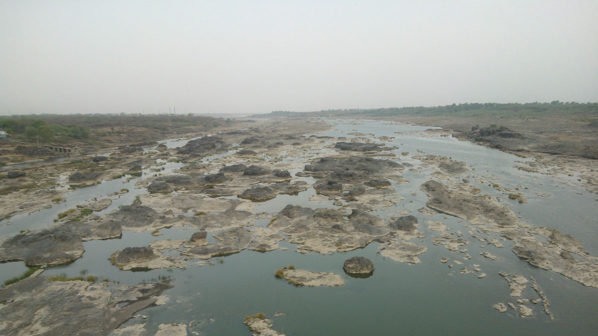
Droughts Sync Up as the Climate Changes
A new study reconstructs roughly 800 years of streamflow history in India’s major rivers, showing an increase in synchronous drought linked to anthropogenic climate change.
Posted inResearch Spotlights
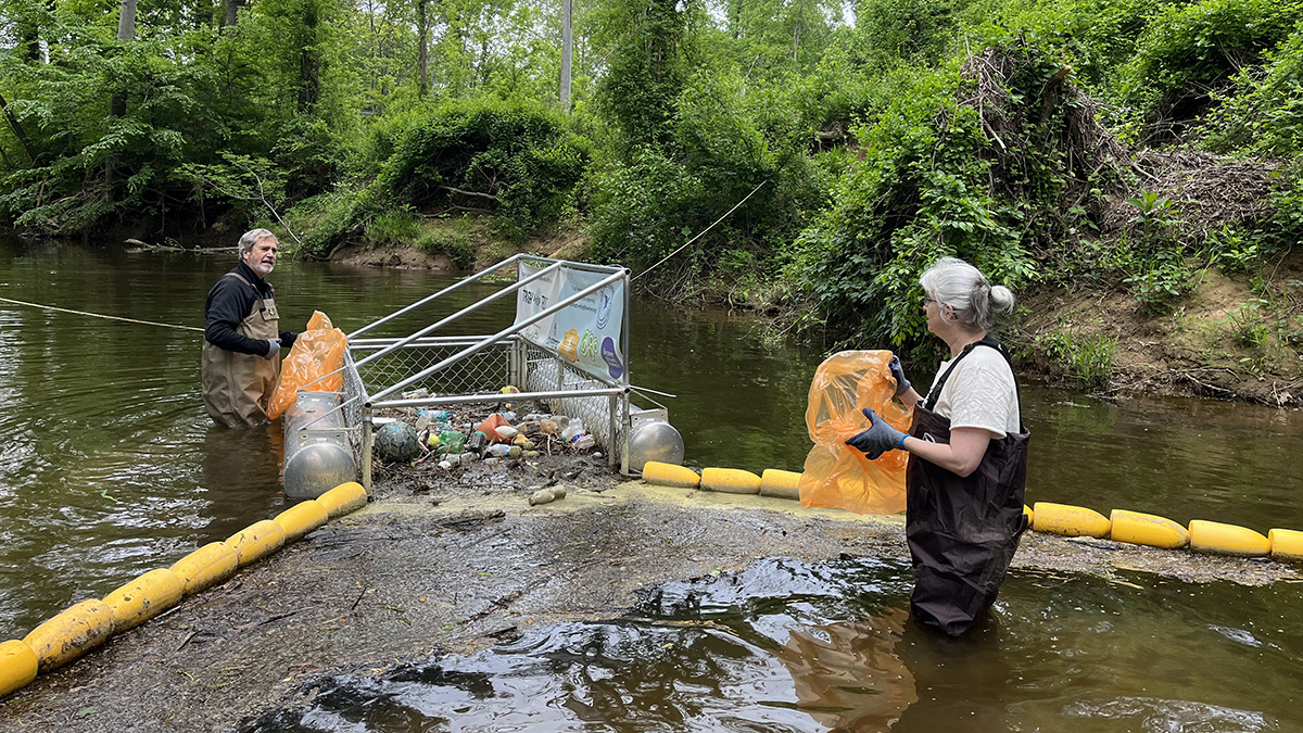
How North Carolina Trash Traps Could Help Inform Policy
Staff and volunteers at Waterkeepers collected and categorized more than 150,000 pieces of trash from the state’s waterways, the vast majority of which were plastic.
Posted inNews
Coral Cores Pinpoint Onset of Industrial Deforestation
Trace elements in coral reefs provide a timeline of how Borneo’s rainforests have been altered by industry.
Posted inResearch Spotlights
Arctic Rivers Trade Inorganic Nitrogen for Organic
Climate change is shifting the makeup of a key nutrient in rivers across Russia, Alaska, and Canada, with the potential for ecosystem-wide impacts.