
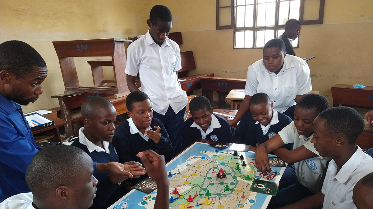
A la sombra de una erupción letal en el 2021, estudiantes en Goma, República Democrática del Congo, están aprendiendo sobre futuros riesgos.
Munyaradzi Makoni
Posted inNews
Raising Hazard Awareness at the Foot of One of the World’s Most Dangerous Volcanoes
In the shadow of a deadly eruption in 2021, students in Goma, Democratic Republic of Congo, are learning about future hazards.
Posted inNews
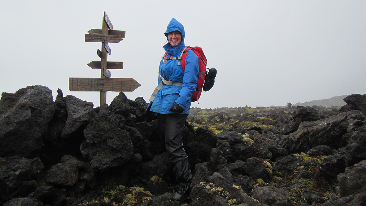
Geospatial Database for the Prince Edward Islands
South African scientists map uninhabited islands in the Southern Ocean.
Posted inNews
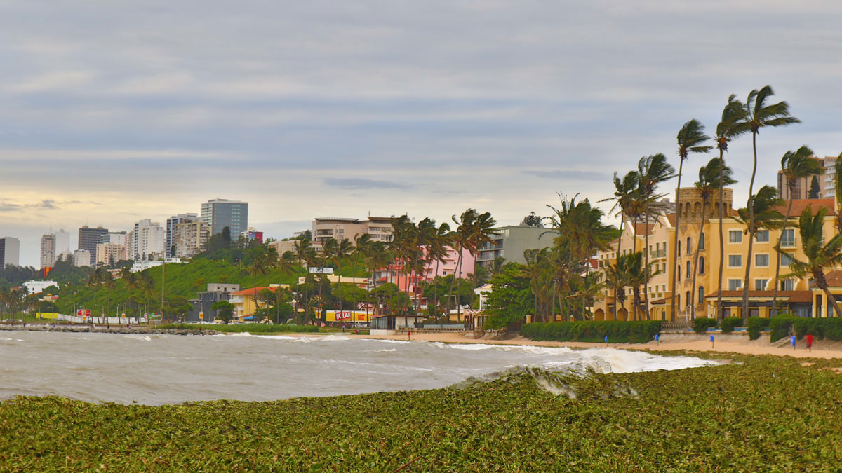
Severe Storms Expose Ill-Equipped Weather Stations in Southeast Africa
The lack of infrastructure is preventing scientists from robustly reporting meteorological information as well as communicating warnings about hazard-prone areas.
Posted inNews
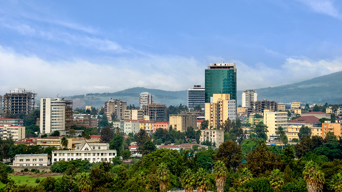
New Hazard Exposure Model for Africa
The rapid pace of urbanization could encroach on hazard-prone regions without adequate land management and building design regulations, a new modeling project shows.

Posted inNews
Satellites Help Cement South Africa’s Space Industry
A trio of CubeSats allows South Africa to showcase its growing space industry as well as monitor its coastal zones.
Posted inENGAGE, News
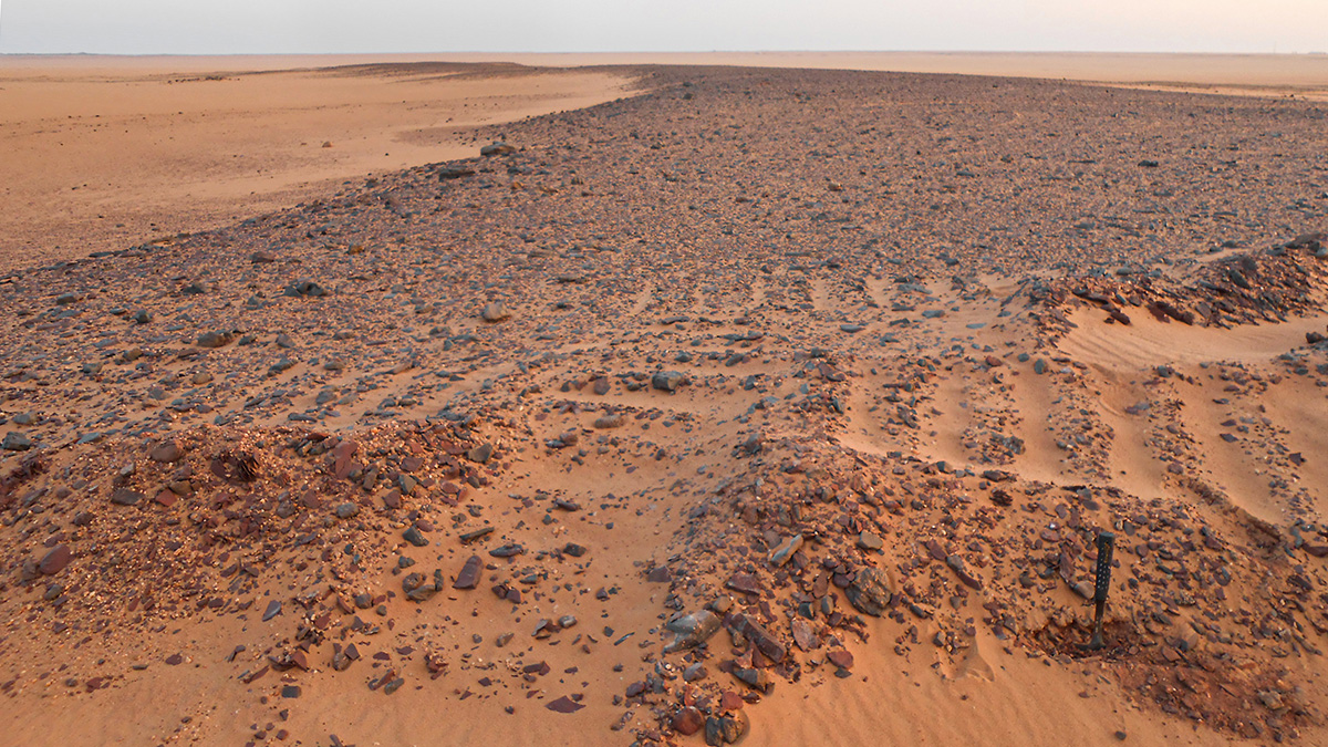
The “Green Sahara” Left Behind Fossil Rivers
Reconstruction reveals how people living along the banks of the Nile may have relocated as climate changed and flooding increased during the African Humid Period.

Posted inENGAGE, News
Zimbabwe’s Scientists Look Forward to Country’s First Satellite
ZIMSAT-1 promises to expand Zimbabwe’s remote sensing capabilities and allow it to better monitor natural resources.

Posted inNews
Tracking Sustainability Goals with Creative Data Sources
Nontraditional sources of data could assist in charting the U.N. Sustainable Development Goals, helping design appropriate policies and investments to improve the state of the environment.

Posted inNews
Forecasters Navigate a Highway to Success Around Lake Victoria
An early-warning system establishes international networks to help communities manage severe weather on Africa’s largest lake.