Editors’ Highlights are summaries of recent papers by AGU’s journal editors.
Source: Geophysical Research Letters
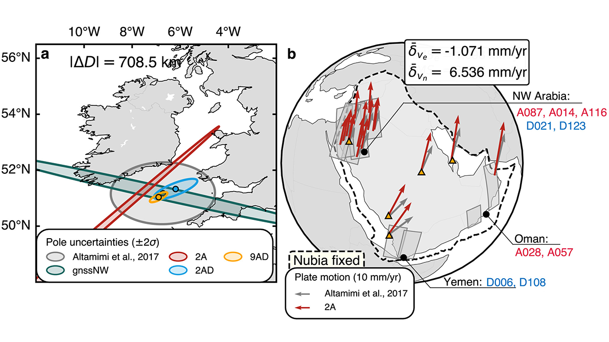
Measuring the movement and, most importantly, the deformation of continents is essential for improving the assessment of geologic hazards, such as earthquakes. To date, tectonic plate motions are estimated using GNSS (Global Navigation Satellite System) observations. However, these estimates rely heavily on the distribution of geodetic GNSS stations, which may be uneven or even sparse, in continent interiors.
Liu et al. [2025] present a new method that uses satellite-based Interferometric Synthetic Aperture Radar (InSAR) imagery to map continental motions over large areas, with unprecedented coverage. The method corrects for long wavelength noise, such as non-tectonic contributions that may obscure true motions, and extracts absolute plate rotation, as successfully demonstrated reproducing the motions of the Arabian plate.
This method has great potential as it enhances our ability to map plate margin strain and significantly extends geodetic coverage into continent interiors, where conventional instrumentation is poor or lacking. It also advances our understanding of continental lithospheric dynamics and may significantly improve our assessment of hazard in vulnerable regions.
Citation: Liu, Y.-K., Yunjun, Z., & Simons, M. (2025). Inferring tectonic plate rotations from InSAR time series. Geophysical Research Letters, 52, e2025GL115137. https://doi.org/10.1029/2025GL115137
—Fabio A. Capitanio, Editor, Geophysical Research Letters