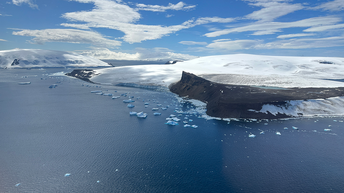
A rift event set off a domino effect of geologic processes that created conditions ripe for Antarctica’s glaciation, a new study suggests.
plate tectonics
Posted inResearch & Developments
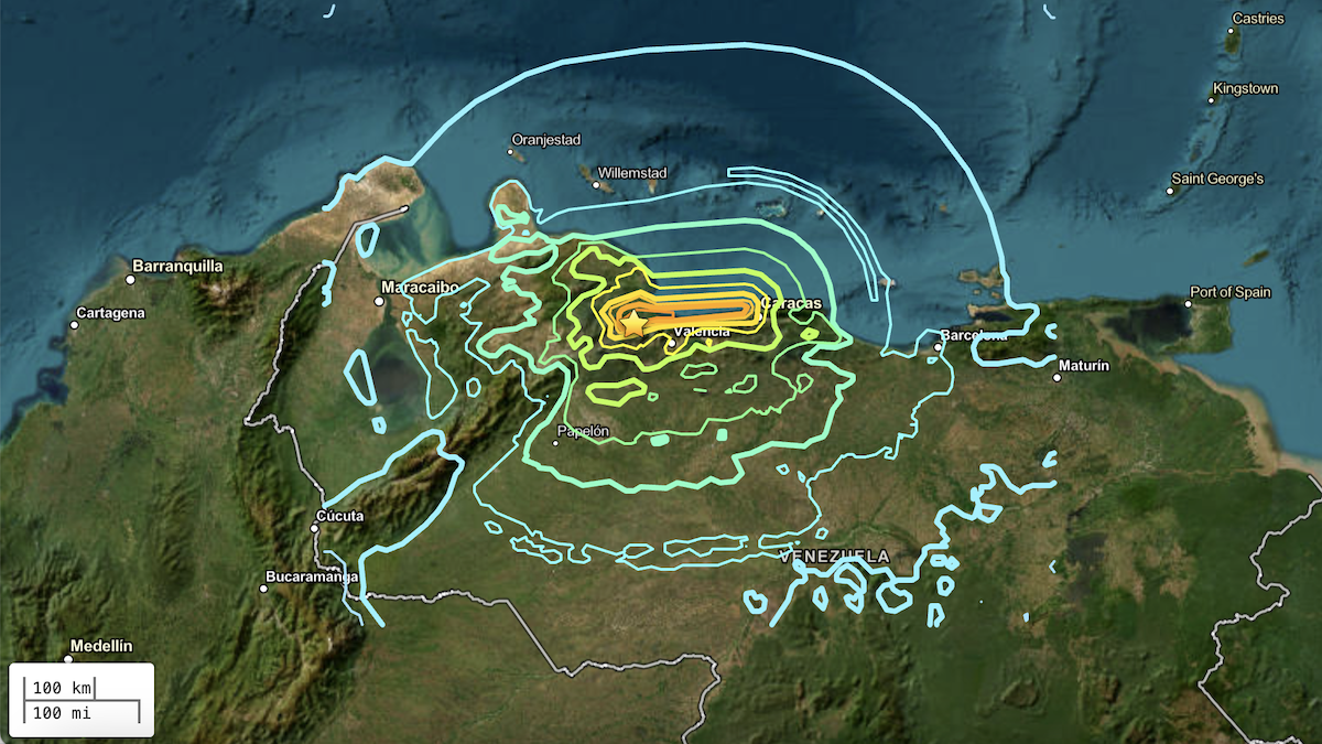
Venezuelan Earthquakes Struck in a Complex Zone of Faults
Two powerful earthquakes hit Venezuela within less than a minute on the evening of 24 June, causing widespread damage to buildings, likely spurring landslides, and killing at least 164 people, though the full extent of the damage is still being assessed.

Posted inNews
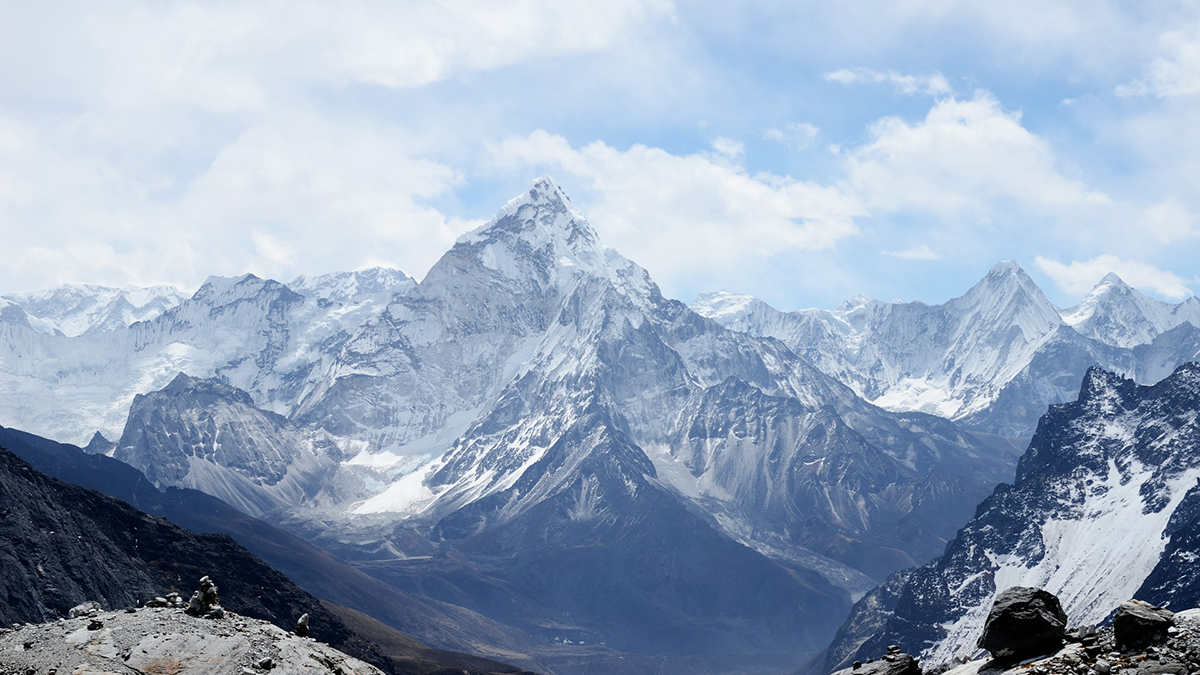
Weak Faults Play a Strong Role in the Tibetan Plateau’s Deformation
Ten years’ worth of data reveal that two theories about how the Tibetan Plateau deforms are both probably right.
Posted inEditors' Highlights
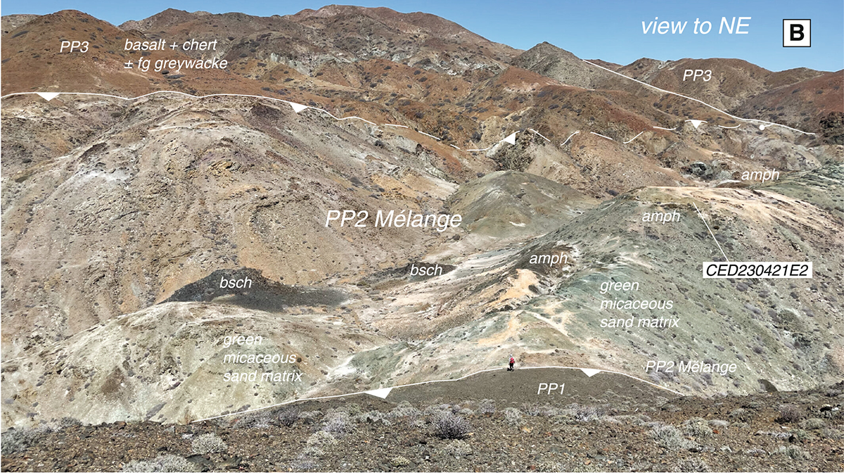
Recycled Rocks Reveal Subduction Zone Dynamics Off Baja California
High-pressure rocks on Cedros Island were exhumed, eroded, and redeposited into the subduction trench multiple times, reshaping interpretations of ancient plate boundary processes.
Posted inNews
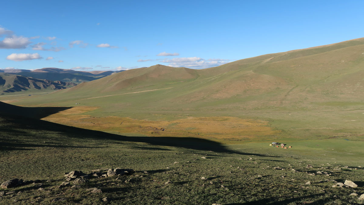
Mongolian Mountains Rose When the Crust Bounced Back
A plate folded, the lithosphere sank, and up popped a mountain range.
Posted inNews
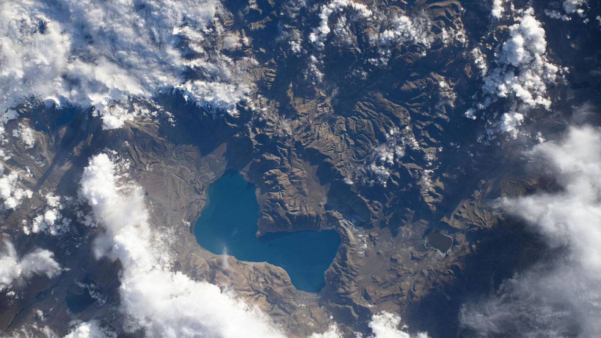
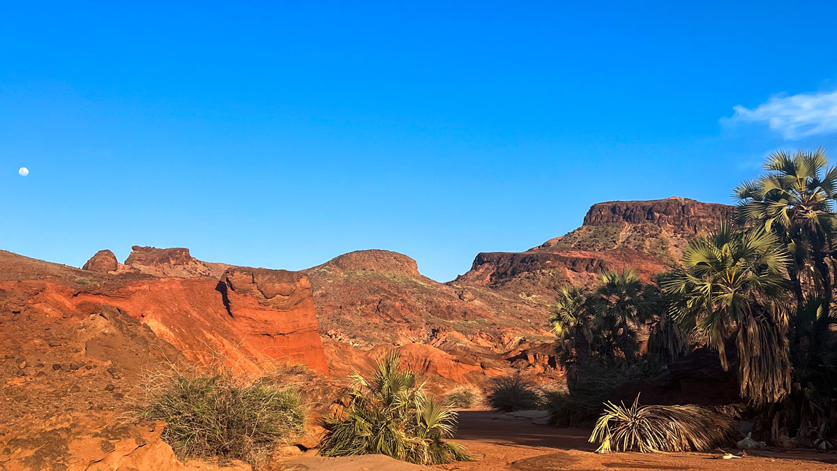
Eastern Africa Is Splitting Apart, but Not Where We Expected
The Turkana Rift Zone in Kenya entered a critical stage in continental breakup about 4 million years ago.
Posted inResearch Spotlights
Seismic Attenuation Techniques Reveal What Lies Beneath Taiwan
A new imaging modality explores the complex subduction‐collision transition zone below southern Taiwan.
Posted inNews
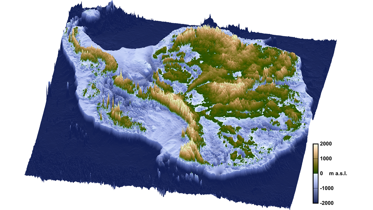
Widening Channels and Westerly Winds Together Formed Earth’s Strongest Current
The Antarctic Circumpolar Current could only develop once wind patterns aligned with new ocean passages 34 million years ago, a new study suggests.
Posted inEditors' Highlights
Constructive Debate on the Rise of the Tibetan Plateau
A constructive debate on Himalayan tectonics shows how respectful scientific dialogue helps test competing ideas about how Earth’s highest plateau formed.