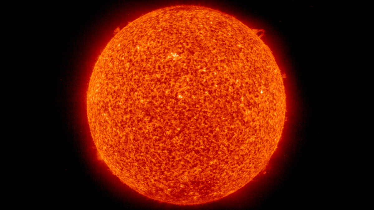
Five decades of data revealed a star undergoing a pause in magnetic activity similar to what the Sun experienced almost 400 years ago.
News

Posted inENGAGE, News
Loss of Ocean Memory Has Implications from Forecasting to Conservation
New research indicates climate change may thin the mixed layer and contribute to a reduction of sea surface temperature anomalies.
Posted inNews
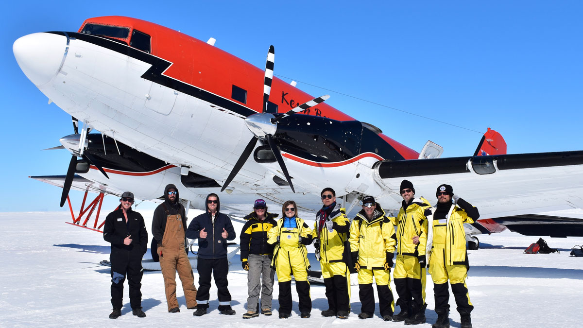
Newly Discovered Lake May Offer a Glimpse into Antarctica’s Past
Scientists dive in—metaphorically—to Lake Snow Eagle, only recently revealed through ice-penetrating radar.

Posted inNews
Fossil Fuels Drive Increase in Atmospheric Helium
After decades of uncertainty, scientists have finally shown that fossil fuel extraction has flooded the atmosphere with 4He.

Posted inNews
A “Dam” in the Corona May Make the Solar Wind Gain Its Unusual Speeds
A new study supports the idea of a “helicity barrier” influencing the fluctuating stream of interplanetary plasma.

Posted inNews
A Community-Led Landslide Prediction System in India
In a first-of-its-kind disaster prevention initiative, a meteorology-based landslide prediction system was developed as a crowdsourced science effort.

Posted inNews
Coronal Dimmings Shine Light on Stellar CMEs
Coronal mass ejections from stars have eluded easy observation, so scientists are looking at what’s left behind.
Posted inNews
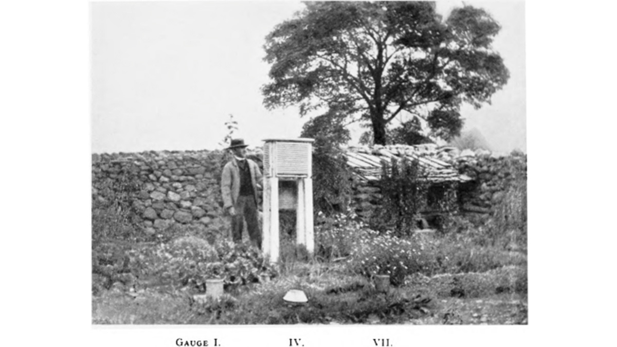
Crowdsourced Weather Projects Boost Climate Science Research
Historic observations, manually transcribed from handwritten records, are giving scientists a fresh glimpse into Victorian era climate.
Posted inNews
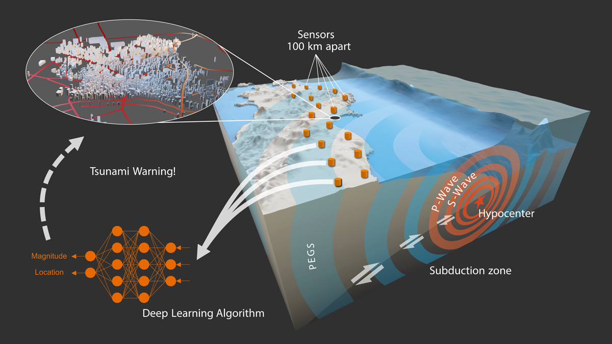
Monitoring Earthquakes at the Speed of Light
New research uses gravity and a machine learning model to instantaneously estimate the magnitude and location of large earthquakes.

Posted inNews
Planting Wetlands Could Help Stave Off Climate Catastrophe
A shift in priority and approach to wetland restoration could reduce atmospheric carbon.