
Streams in flatter watersheds have carbon cycles more sensitive to temperature increases.
News

Posted inNews
Even Tardigrades Will Feel the Heat of Climate Change
Hardy tardigrades are much more vulnerable to heat than cold, but they show some signs that they could adapt over time.
Posted inNews
Wildfires, Coal Fires, and Other Things to Get Fired Up About
What Earth and space science stories are we recommending this week?
Posted inNews
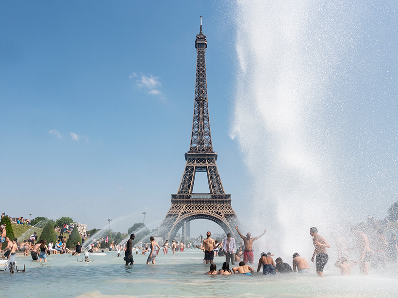
Another Scorcher: 2019 Was the Second-Hottest Year on Record
Heat waves, massive melts, and droughts, oh my. The past decade was our hottest yet.

Posted inNews
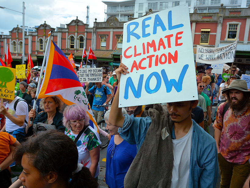
Scientists Say Land and Ocean Are Key to Tackling Climate Crisis
A House committee listened to experts on why ocean science is critical to understanding the changing climate and why better land use could be a major part of mitigating climate change.

Posted inNews
Megadrought Helped Topple the Assyrian Empire
Paleoclimate records shed light on the ancient civilization’s meteoric rise and catastrophic collapse.
Posted inNews
Forests Respond to Volcanic Emissions
Researchers propose using volcanoes to study forests and forests to study volcanoes.

Posted inNews
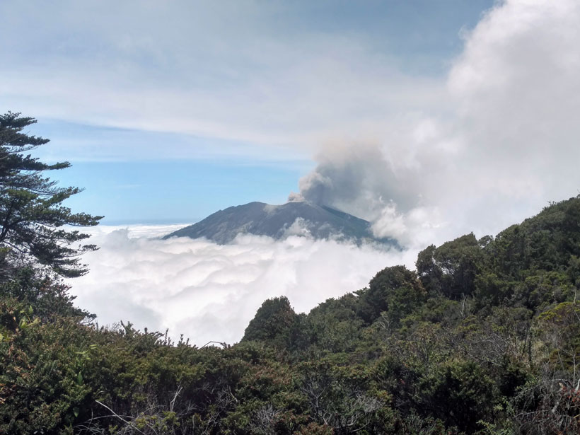
Taal Eruption and Ashfall Continue; Thousands Still at Risk
The Philippines’ volcanology institute warns that a hazardous eruption of Taal is imminent. In the past, Taal’s eruptions have lasted months and even years.
Posted inNews
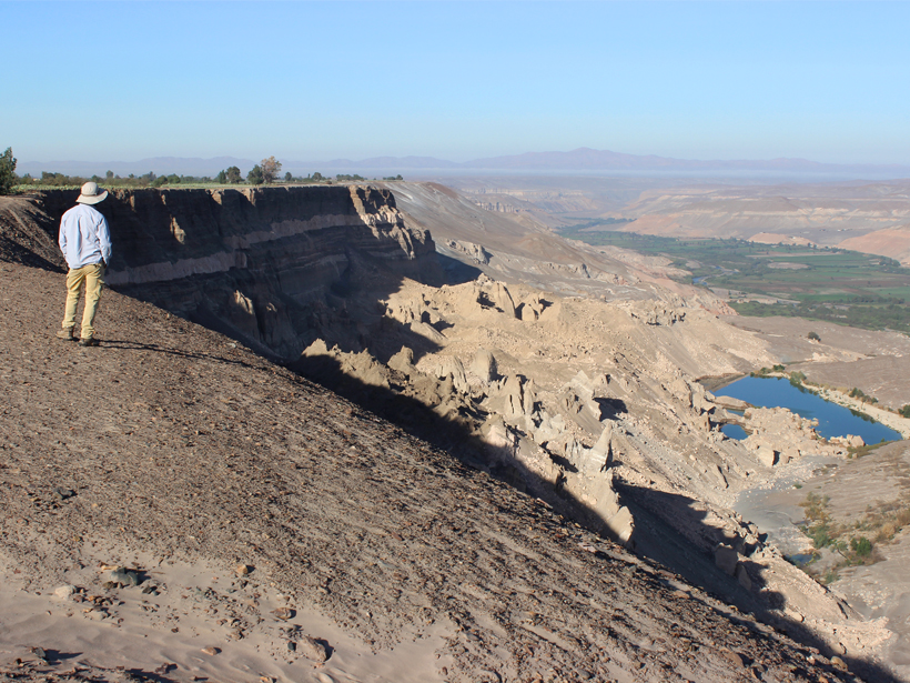
Modern Farming Kick-Starts Large Landslides in Peruvian Deserts
Large-scale irrigation programs have triggered giant, slow-moving landslides in arid valleys, leading to the destruction of both traditional and modern farmland.

Posted inNews
Five Environmental Consequences of Australia’s Fires
Australia’s road to recovery may be long: Here’s a developing list of how the fires are affecting glaciers, wildlife, water supplies, and global carbon emissions.