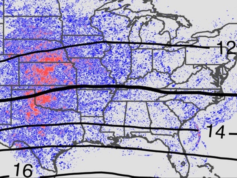
Ten years of high-resolution gridded NEXRAD radar data provide a new data set to quantify tropopause-overshooting convection over the continental United States.
CC BY-NC-ND 2018
Posted inEditors' Vox
The Science of Dates and Rates
Geochronology and thermochronology combine geochemistry, nuclear reactions, and technology to probe the history and dynamics of Earth and planetary processes.
Posted inResearch Spotlights
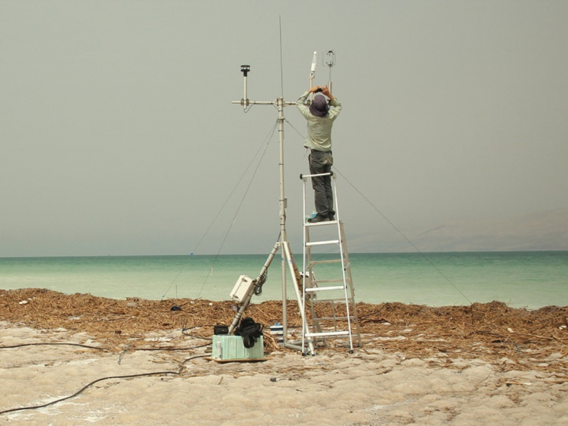
Dead Sea Provides Unique Insights on Water Evaporation
Scientists study the impacts of sunlight and wind on evaporation at one of Earth’s most unusual lakes.

Posted inEditors' Highlights
Chaos Beneath a Calm Sea
Seismic data help reveal fine-scale wave breaking, instability and turbulence in the ocean interior.

Posted inEditors' Vox
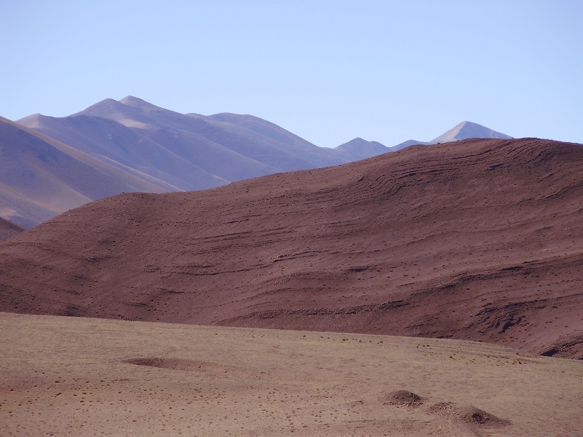
A Landscape Shaped by Wind
High-altitude aeolian research on the Tibetan Plateau offers insights into the past, present, and future.

Posted inNews
USGS Nominee Calls Scientific Integrity a High Priority
James Reilly, a former astronaut and petroleum geologist, told senators that resolving USGS budget challenges and maintaining the agency’s core mission are other top priorities.
Posted inGeoFIZZ
Ten Everyday Objects That Can Be Used for Science
Need a way to store sediment cores or grind up soil? These scientists have your answer.

Posted inResearch Spotlights
Modeling Storm Evolution
A “moist shell” makes all the difference in how some storms evolve.
Posted inEditors' Highlights
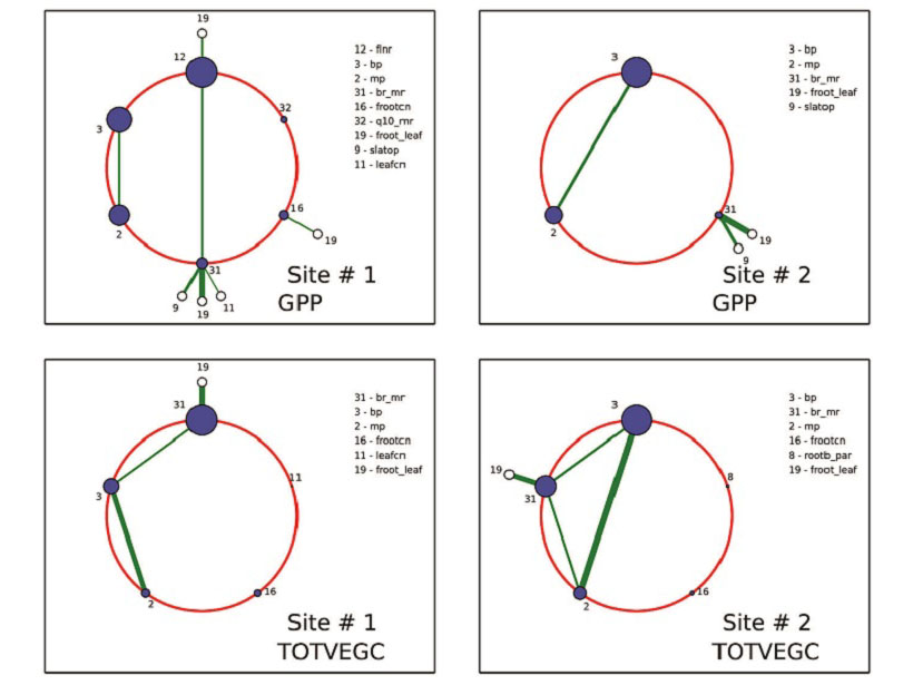
A Powerful New Tool to Analyze and Calibrate Earth System Models
Polynomial chaos and Bayesian compressive sensing are applied to a land surface model to understand how large numbers of tunable parameters interact and may be optimized.

Posted inAGU News
Virtual Poster Showcase Experienced Steady Growth in 2017
A pilot project for high schools and a geographic information system map, as well as other embellishments, have enhanced a program that enables students to present research electronically.