Research & Developments is a blog for brief updates that provide context for the flurry of news regarding law and policy changes that impact science and scientists today.
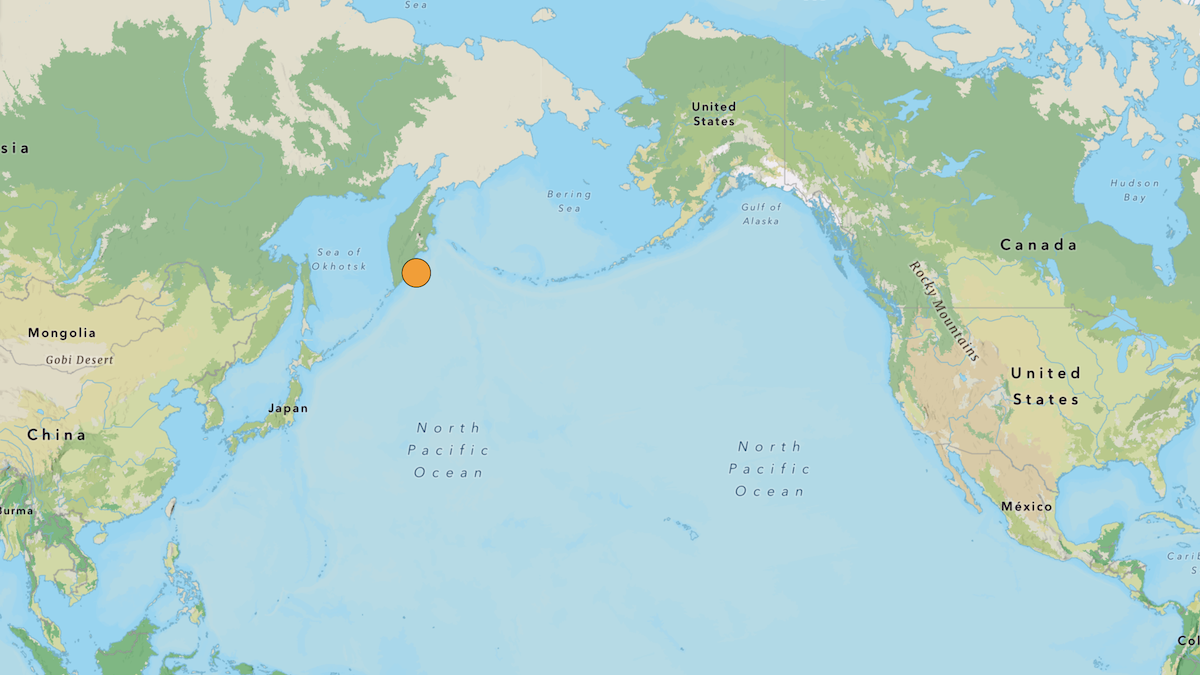
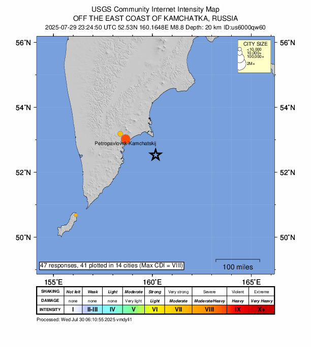
One of the strongest earthquakes ever recorded struck off the eastern coast of Russia’s Kamchatka Peninsula Wednesday morning local time. Initially pegged at a magnitude-8.0, the quake was eventually upgraded to a magnitude-8.8. Adjusted magnitude estimates are not unusual for large earthquakes as more data become available.
If the estimate is not adjusted farther, the quake will be tied as the sixth largest earthquake ever recorded by modern instrumentation. The next largest instrumented event, a magnitude-9.0 quake, struck in 1952 roughly 45 kilometers to the northeast of the latest epicenter.
According to the U.S. Geological Survey (USGS), the recent earthquake likely struck along the Kuril-Kamchatka arc, which separates the Pacific tectonic plate and the Okhotsk microplate. Along the boundary, the Pacific plate is being subducted roughly to the west beneath the microplate. A preliminary USGS analysis of seismic data suggests the recent earthquake accommodated thrust motion, which is expected during slip along a subduction boundary.
On 20 July 2025, a magnitude-7.4 earthquake struck roughly 60 kilometers to the northeast of the recent epicenter. That quake occurred as a result of slip along a thrust fault of similar orientation. It’s proximity in location and time to the recent earthquake suggests the magnitude-7.4 quake was a foreshock to the magnitude-8.8 quake.
Aftershocks are ongoing and will likely continue for weeks. More than 90 earthquakes of at least magnitude-4.4 have struck as of 1:00 p.m. UTC Wednesday, including a magnitude-6.9 shock followed a few minutes later by a magnitude-6.3 shock.
The magnitude-8.8 earthquake caused strong to extreme shaking in southern Kamchatka, according to USGS “Did You Feel It?” reports from the region.
The earthquake generated tsunami waves that spread across the Pacific. Wave heights of more than 3 meters inundated Severo-Kurilsk in the Kuril Islands south of Kamchatka, according to a Russian news agency.
The Japan Meteorological Agency issued tsunami warnings for much of the country’s Pacific coast. Waves up to 1.3 meters struck Kuji Port in northern Honshu. The U.S Tsunami Warning Center issued warnings for coastal Alaska, Hawaii, Washington, Oregon, and Northern California. Waves reached as high as 1.2 meters in Northern California. In Hawaii, waves reached 1.74 meters in Kahului on Maui and 1.5 meters in Hilo on the Big Island.
Some injuries and no deaths have been reported.
—Jennifer Schmidt, Managing Editor
These updates are made possible through information from the scientific community. Do you have a story about how changes in law or policy are affecting scientists or research? Send us a tip at [email protected].
