
A new center will bring together earthquake scientists to study the Cascadia Subduction Zone and clarify seismic hazards.
California

Posted inNews
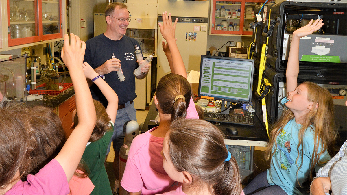
Natural Nitrogen Emissions Are Rising in California
Wildfires and soil microbes are releasing more nitrogen oxides in California as the climate gets warmer and drier.

Posted inEditors' Highlights
Earthquakes Have Preparatory Stage Years Before Rupture
Tidally induced seismicity increased locally before the 2019 Ridgecrest earthquake, suggesting that fault sensitivity to stress increases in the years immediately before large earthquakes.
Posted inEditors' Vox
One Solution to the Climate Crisis: Better High School Education
Integrating Earth and space science into high school biology, chemistry, and physics courses may be the best way to educate the public about climate science.
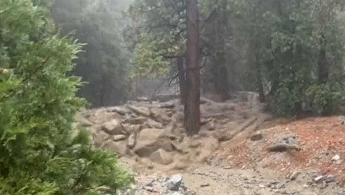
Posted inThe Landslide Blog
Mudslides and debris flows triggered by Storm Hilary
Videos of debris flows and mudflows from Storm Hilary.

Posted inEditors' Vox
Lightning-Caused Wildfires are 80 Percent More Likely Under Dry Vegetation
Mimicking a randomized control trial of wildfires, scientists use satellites to uncover the key role of vegetation dryness in wildfire risk, aiding wildfire management and preparedness in California.

Posted inNews
On-Again, Off-Again Lake Cahuilla Likely Enhanced Earthquakes in Southern California
The disappearance of the ephemeral lake has made earthquakes along the San Andreas Fault even more unpredictable.
Posted inNews
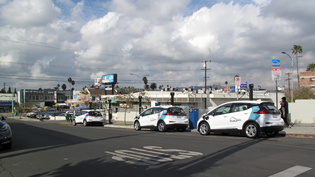
Los beneficios desiguales de la transición a vehículos eléctricos en California
Un repunte en vehículos limpios ha mejorado más la calidad del aire en comunidades adineradas en comparación con comunidades marginalizadas de California, muestra un nuevo estudio.
Posted inNews
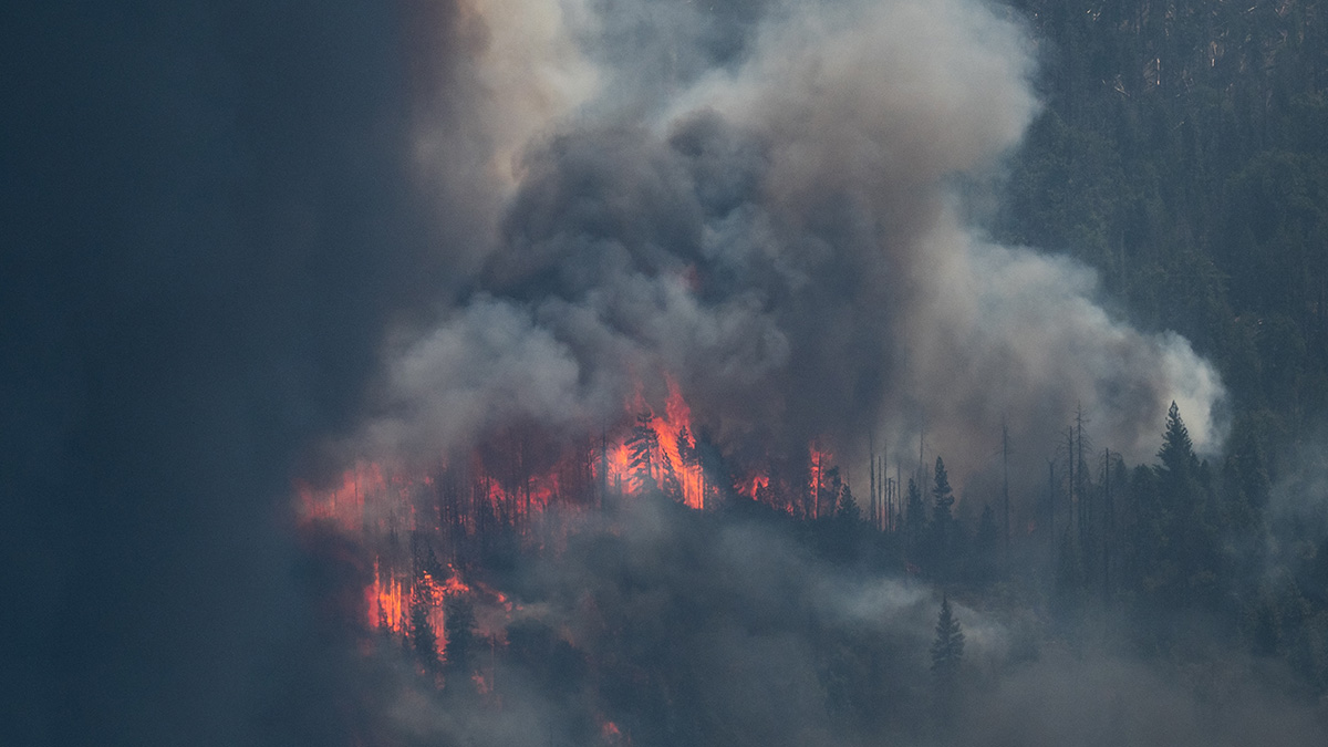
As Wildfires Grow, So Could Methane Emissions
Wildfires that wreaked havoc on California in 2020 filled the atmosphere with a potent greenhouse gas.

Posted inNews
The Unequal Benefits of California’s Electric Vehicle Transition
An uptick in clean vehicles has improved air quality in wealthier communities over marginalized communities in California, a new study finds.