An enigmatic feature of frozen soils can be explained in part by non-Newtonian fluid physics. Enter the Oobleck.
Arctic
Posted inNews
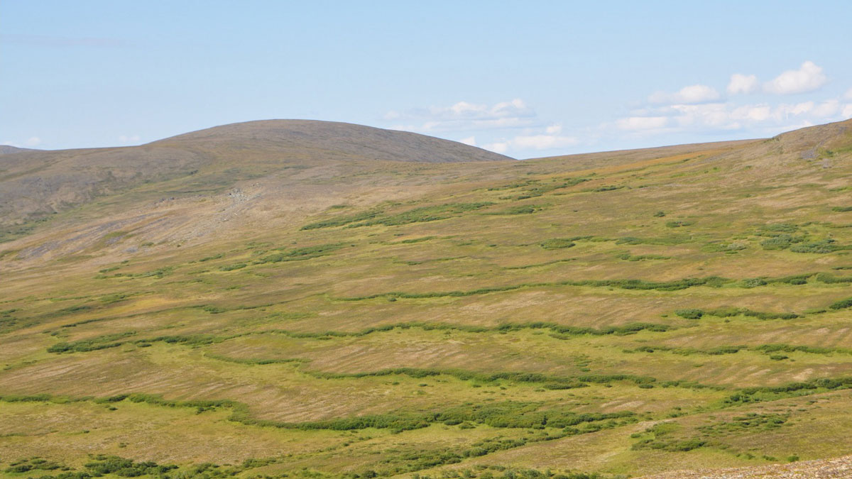
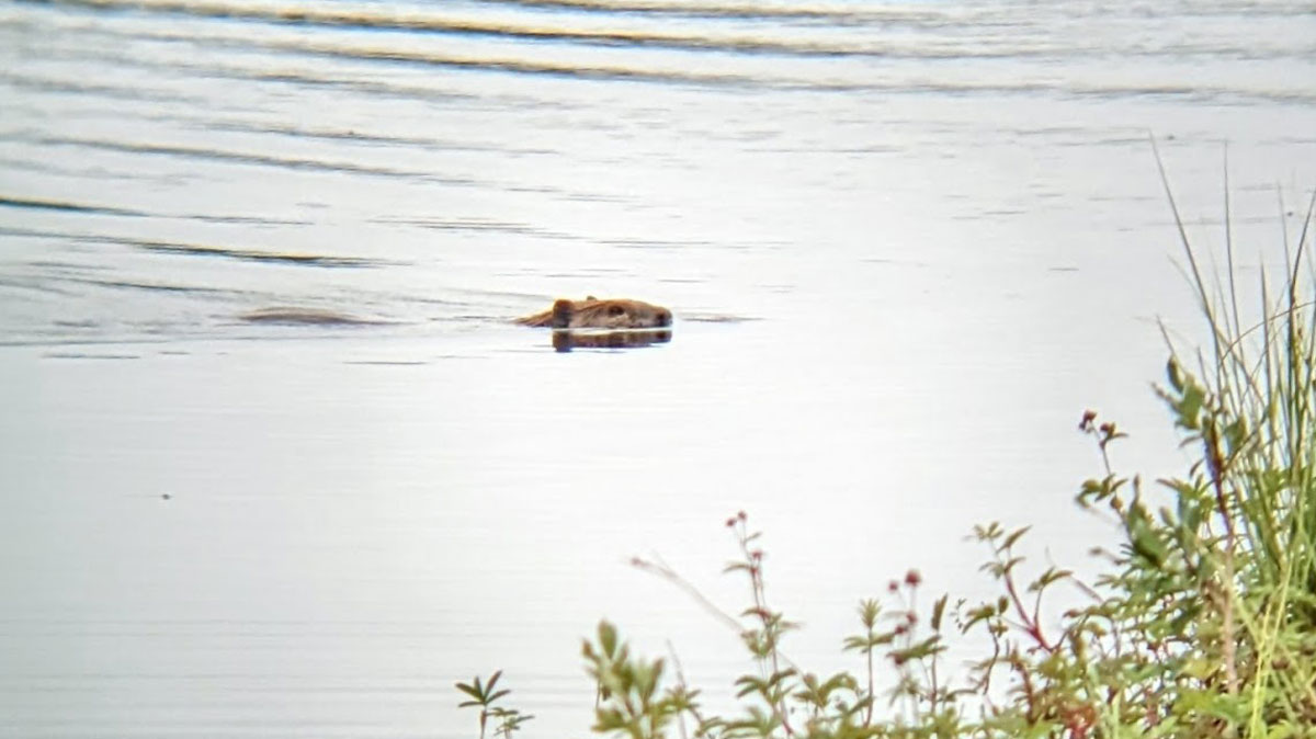
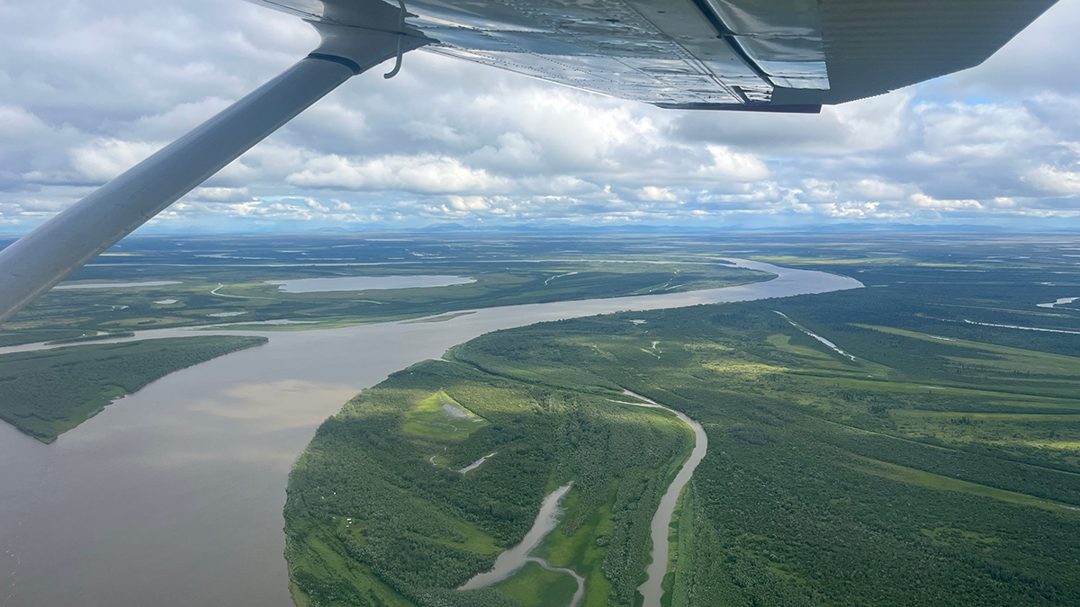
How Beavers Gnawed Their Way into the Arctic
Historical data on beavers’ Arctic expansion are lacking, but tree rings are shedding light on the timeline.

Posted inNews
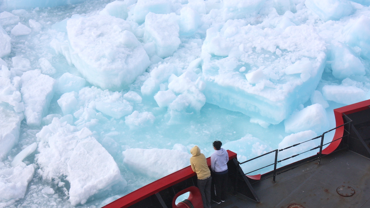
Changes in Sea Ice Microstructure Could Affect Climate Models
Granular sea ice needs to be twice as porous as columnar ice to allow water to flow through it—up to 10% brine by volume.
Posted inEditors' Highlights
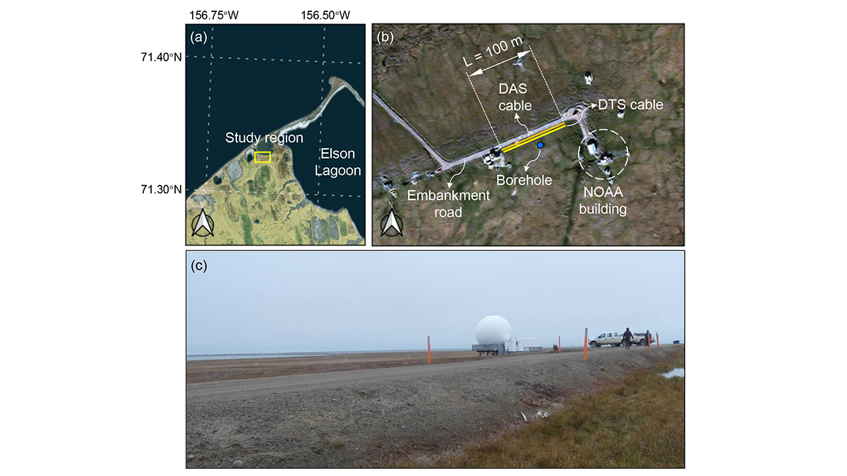
A Digital Twin for Arctic Permafrost Beneath Roads
A physics-informed digital twin uses high-resolution temperature data to track, update, and predict permafrost conditions beneath an Alaskan embankment road.
Posted inNews
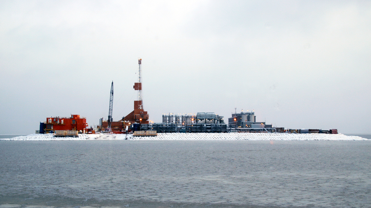
This Arctic Atlas Shows Where Oil and Gas Activities Overlap with Wildlife and Indigenous Communities
To slow climate change, the world must keep its fossil fuels in the ground. New maps of Arctic activities show where resources should stay put.
Posted inFeatures
Chemical Companies Are Churning Out New PFAS. Where in the World Are They Ending Up?
Bans on older versions of “forever chemicals” seem to be working. But emerging variants behave in ways that scientists are only beginning to pin down.
Posted inResearch & Developments
Arctic Winter Sea Ice Hits a Record Low, Again
Sea ice in the Arctic has likely hit its maximum extent for the year, the National Snow and Ice Data Center (NSIDC) said on 26 March. That maximum extent is one of the lowest ever recorded, tying last year’s record for the least sea ice coverage in the 48-year observational record.
Posted inEditors' Vox
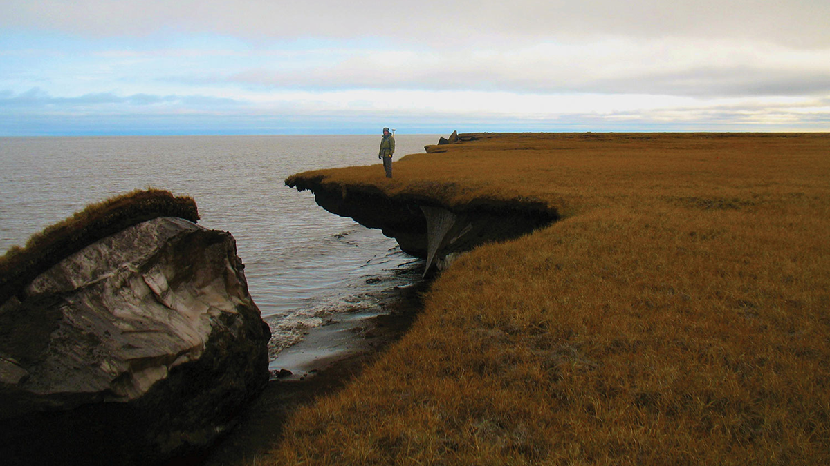
How Frozen Ground Controls Water in a Warming World
Frozen ground acts like a hidden underground dam. As it thaws, water pathways shift, changing rivers, wetlands, ecosystems, and infrastructure across cold regions.
Posted inNews
Greenland Dust Delivers Nutrients to Ice-Melting Algae
Researchers scrutinized aerosols above and within the ice sheet, finding phosphorus and other mineral particles.
Posted inResearch Spotlights
Climate Modeling for Communities, with Communities
End users, such as Indigenous community members developing climate adaptation efforts, make better use of climate models when researchers collaborate with them from the start.