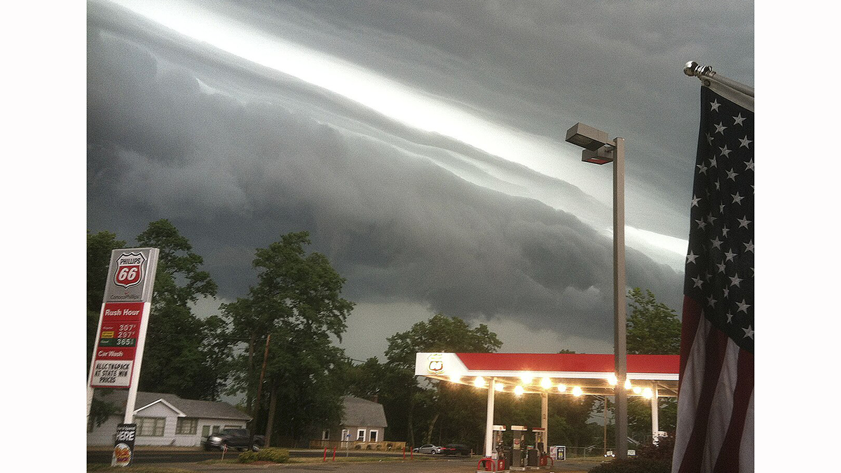
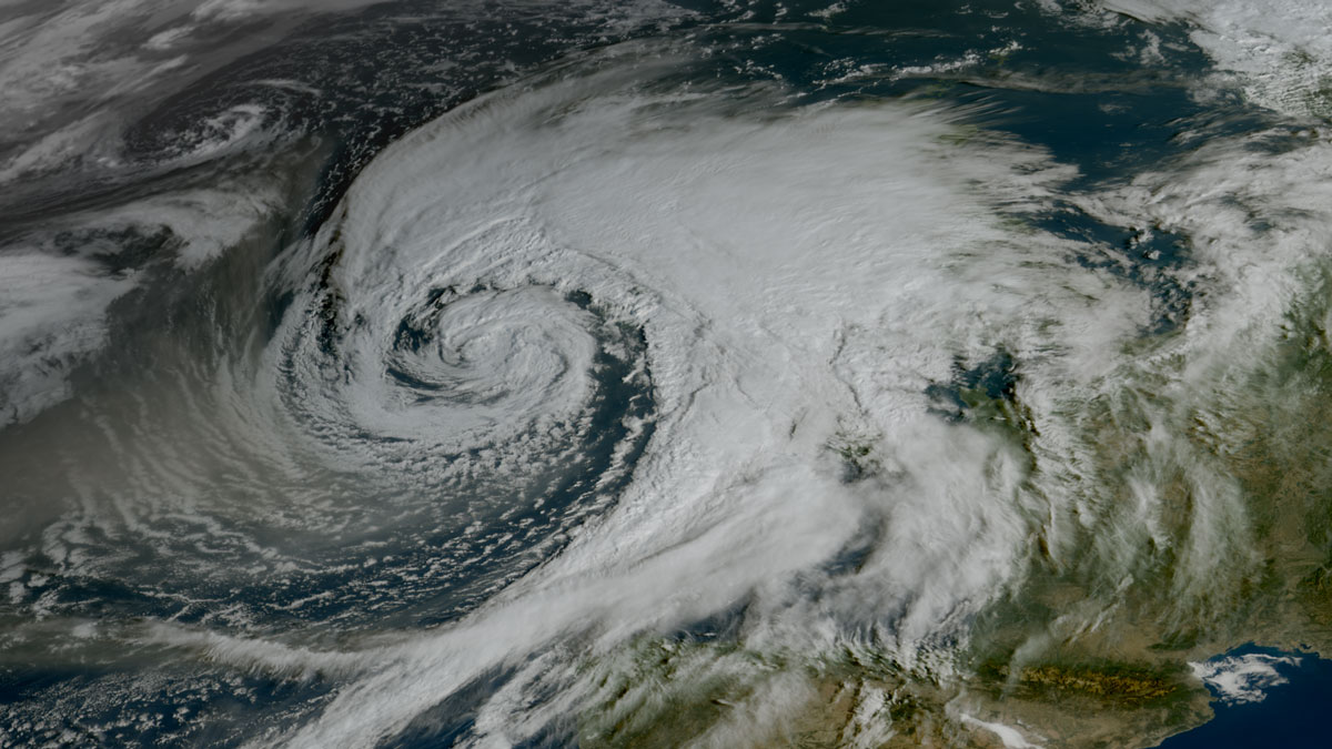
Not all tsunamis come from the seafloor, some are triggered by the atmosphere, driven by fast-moving storms and pressure waves, and can strike coasts with little warning.
forecasting
Posted inOpinions
What Americans Lose If Their National Center for Atmospheric Research Is Dismantled
Five ways dismantling NCAR will cost the American people, and two ways to save it.
Posted inResearch Spotlights
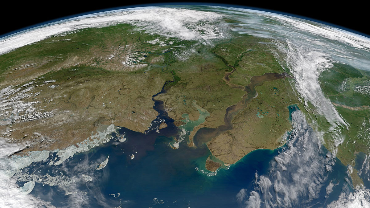
New River Chemistry Insights May Boost Coastal Ocean Modeling
By more realistically accounting for river inputs, researchers reduced overestimation of the amount of carbon dioxide absorbed by coastal waters.
Posted inResearch Spotlights
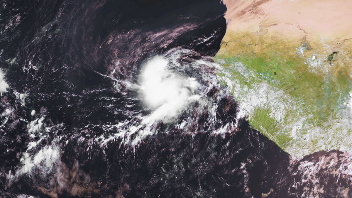
Warming May Make Tropical Cyclone “Seeds” Riskier for Africa
Intensified hurricane precursors may linger longer over the continent, worsening extreme flooding hazards.

Posted inNews
Globe-Trotting Weather Pattern Influences Rainfall in Hawaii
Isolated islands that depend on rainfall could benefit from improved forecasting of near-future events, and understanding the Madden-Julian Oscillation could hold an important key.
Posted inNews
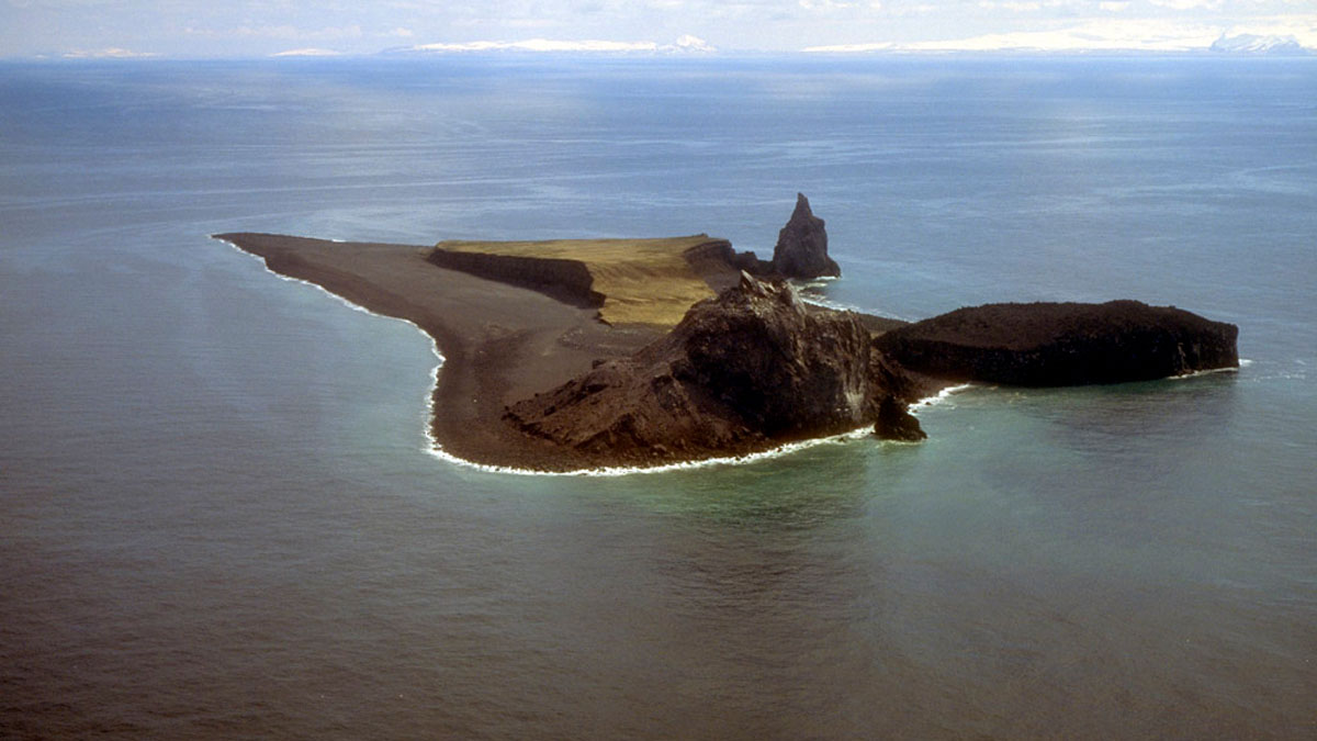
Crystal Clusters Contain Clues to Magma’s Past and Future Eruptions
It’s now become easier to forecast the next eruption of Alaska’s Bogoslof volcano. New research led by Pavel Izbekov, a volcanologist at the Alaska Volcano Observatory, is applying the foundations of diffusion chronometry—the study of chemical change in crystals over time—to a new eruption forecasting approach. Izbekov’s team used crystal clusters and their collective records […]
Posted inFeatures
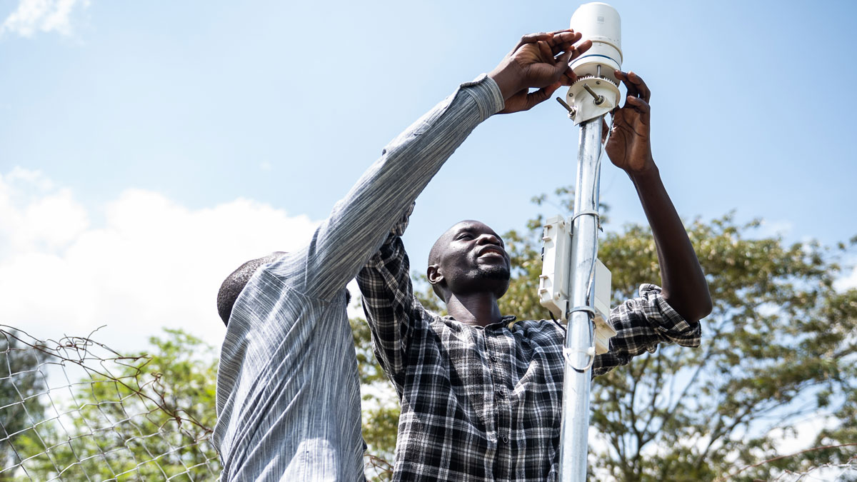
Building Better Weather Networks
A lack of weather data often leaves African communities vulnerable. Convergent efforts to improve observational networks throughout the continent are slowly filling the gaps.
Posted inOpinions
Scientists Must Join Forces to Solve Forecasting’s Predictability Desert
To strengthen societal resilience to worsening natural hazards, siloed Earth system science communities must collaborate to understand conditions that favor skillful subseasonal-to-seasonal forecasts.
Posted inFeatures
The AI Revolution in Weather Forecasting Is Here
The past decade has seen explosive growth in forecasting research and applications using AI. Sophisticated new approaches show vast potential to support public safety, health, and economic prosperity.
Posted inResearch Spotlights
Unveiling What’s Under the Hood in AI Weather Models
Artificial intelligence models have improved weather forecasting, but their inner workings are largely opaque. A new approach could make their predictions more interpretable by scientists.