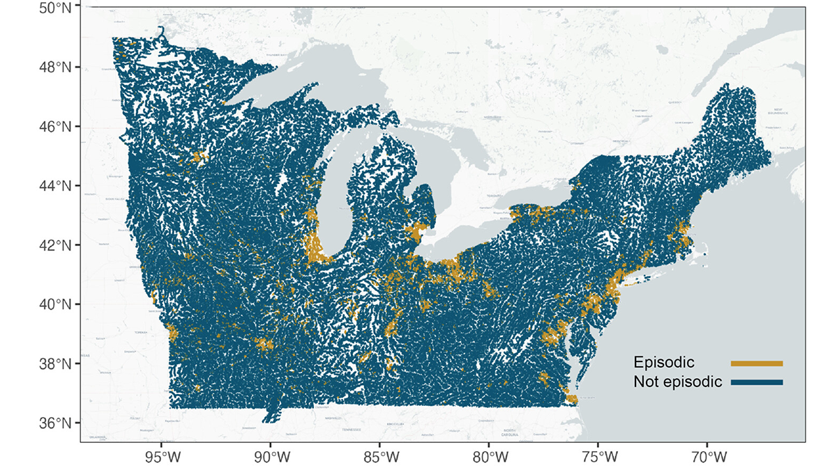
When episodic pulses of road salt hit after a winter storm, the impact can be like a lightning strike for the environment.
forests
Posted inNews
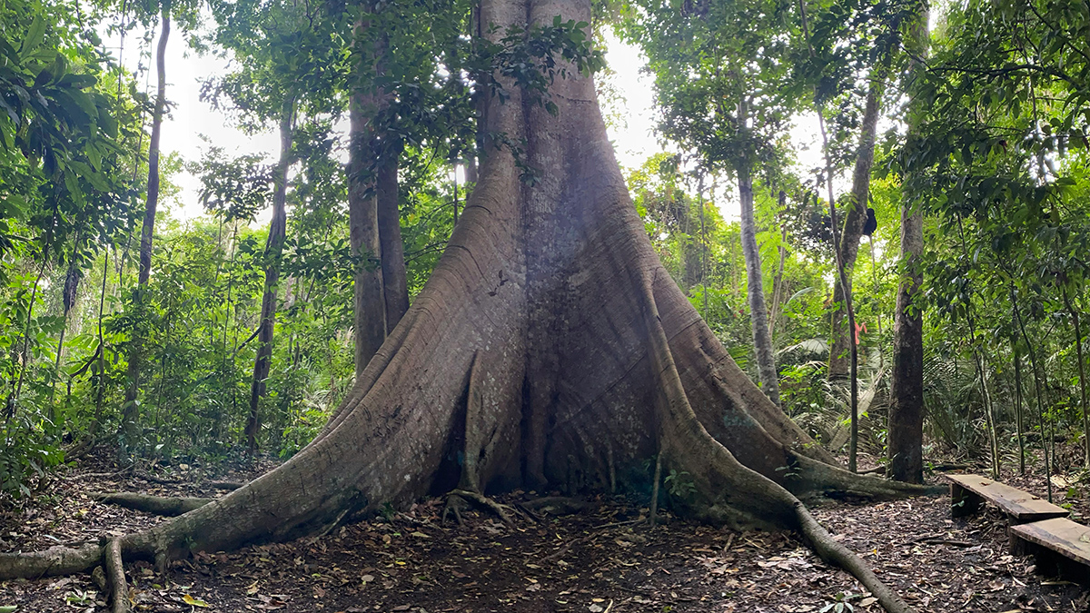
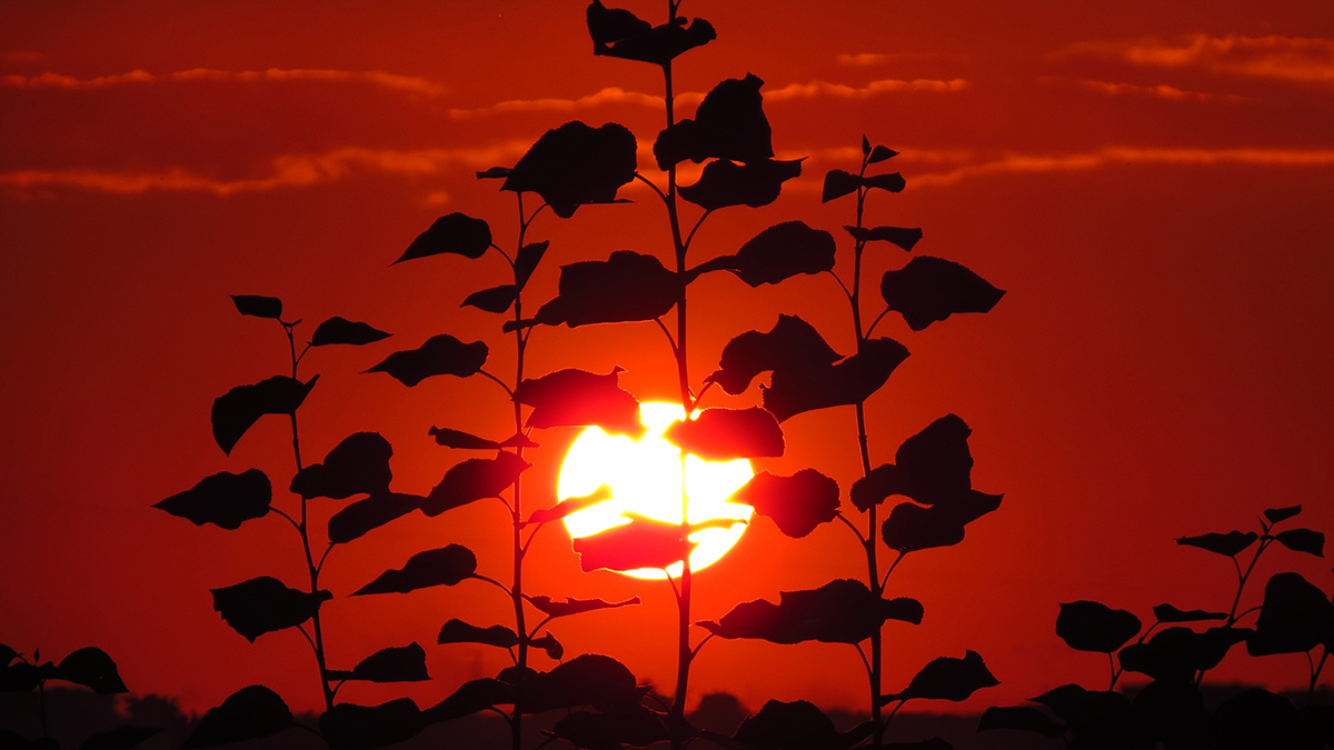
As CO2 Levels Rise, Old Amazon Trees Are Getting Bigger
New data show resilience among the rainforest’s giants, though scientists warn that nutrient limits and rising heat could end the trend.
Posted inNews
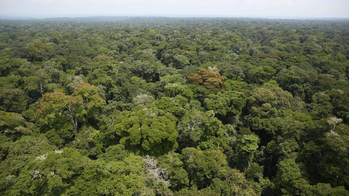
Old Forests in the Tropics Are Getting Younger and Losing Carbon
New research quantifying the global impact of forest age transitions found that 140 million tons of aboveground carbon are lost per year because of old-growth forests being replaced by younger stands.
Posted inNews
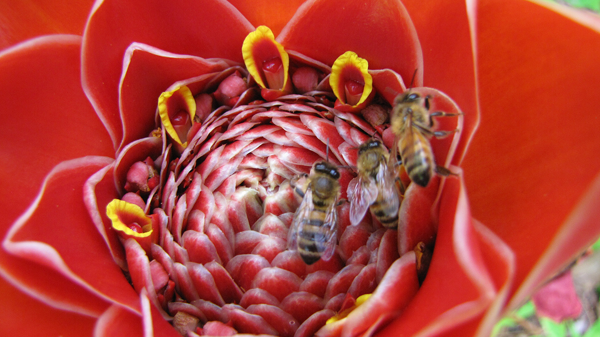
El Niño May Be Driving Insect Decline in the Tropics
Stronger and more frequent El Niño events are contributing to a decline in arthropod diversity and population, as well as to a reduction in the ecological services the animals provide.
Posted inResearch Spotlights
In the Arctic, Consequences of Heat Waves Linger
The aftermath of a historic 2020 heat wave could still be felt in Siberia a year later.
Posted inEditors' Vox
Waterworks on Tree Stems: The Wonders of Stemflow
Stemflow hydrodynamics offers rich physics that seeks to describe water and matter cycling within the atmosphere-biosphere-geosphere with implications for water resources planning.
Posted inNews
Coral Cores Pinpoint Onset of Industrial Deforestation
Trace elements in coral reefs provide a timeline of how Borneo’s rainforests have been altered by industry.
Posted inResearch Spotlights
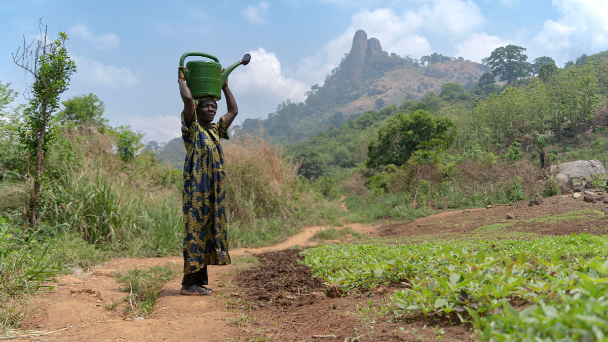
When Rain Falls in Africa, Grassland Carbon Uptake Rises
Satellite data suggest an explanation for the continent’s high year-to-year variability in carbon uptake.
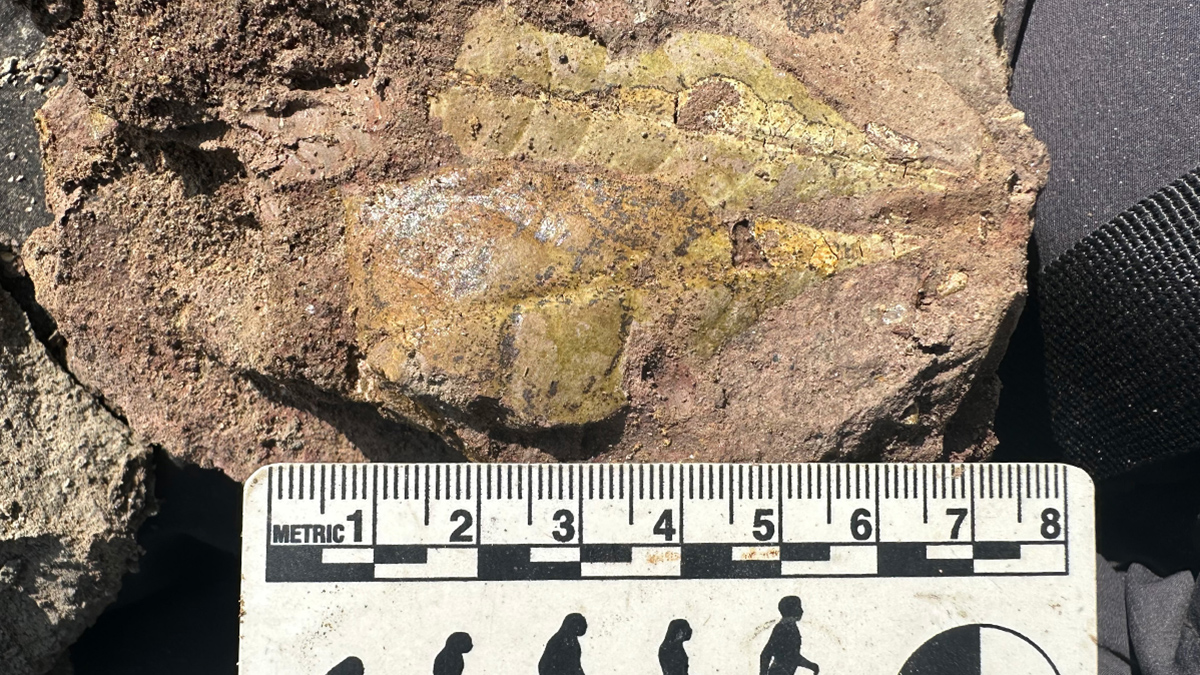
Posted inResearch Spotlights
Early Apes Evolved in Tropical Forests Disturbed by Fires and Volcanoes
Fossils discovered at an early Miocene site in Kenya include a new type of early ape and offer clues about the environment inhabited by human ancestors.

Posted inEditors' Highlights
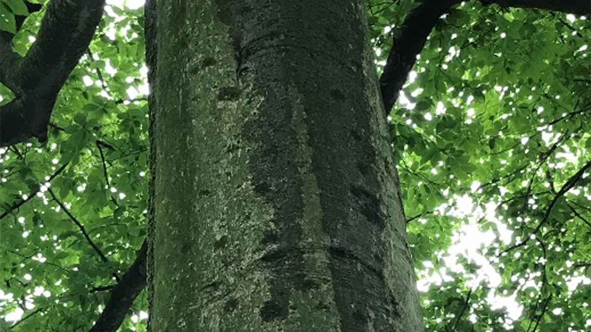
Old Forests in a New Climate
It’s usually cooler under a forest than outside the forest, but that natural temperature buffering didn’t make global warming any less strong during the last 45 years in an old-growth forest of Oregon.