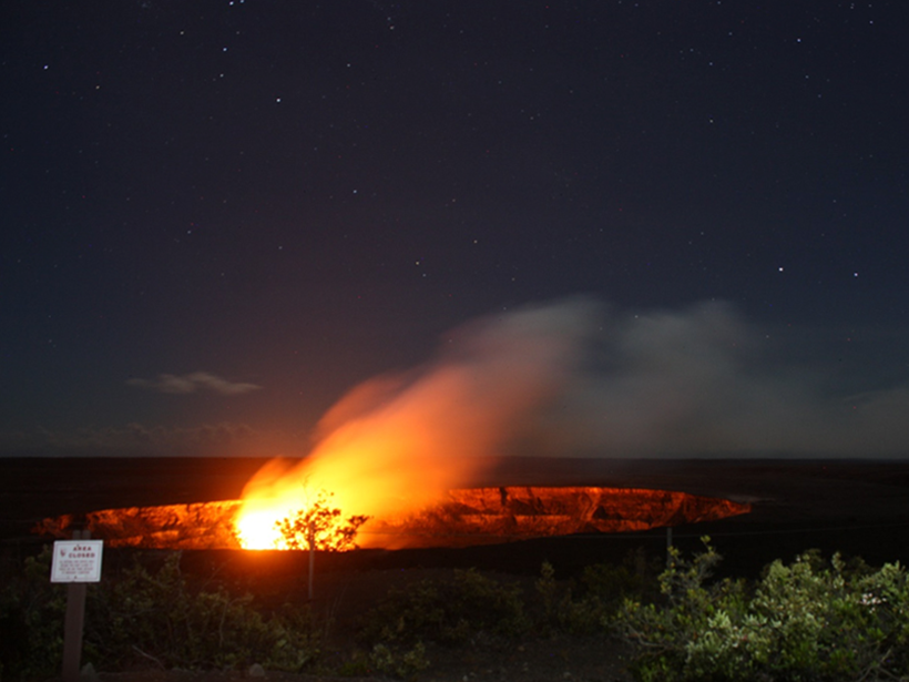
AGU/SEG Joint Workshop on Upper Crust Physics of Rocks; Hilo, Hawaii, 11–14 July 2016
geology
Posted inNews
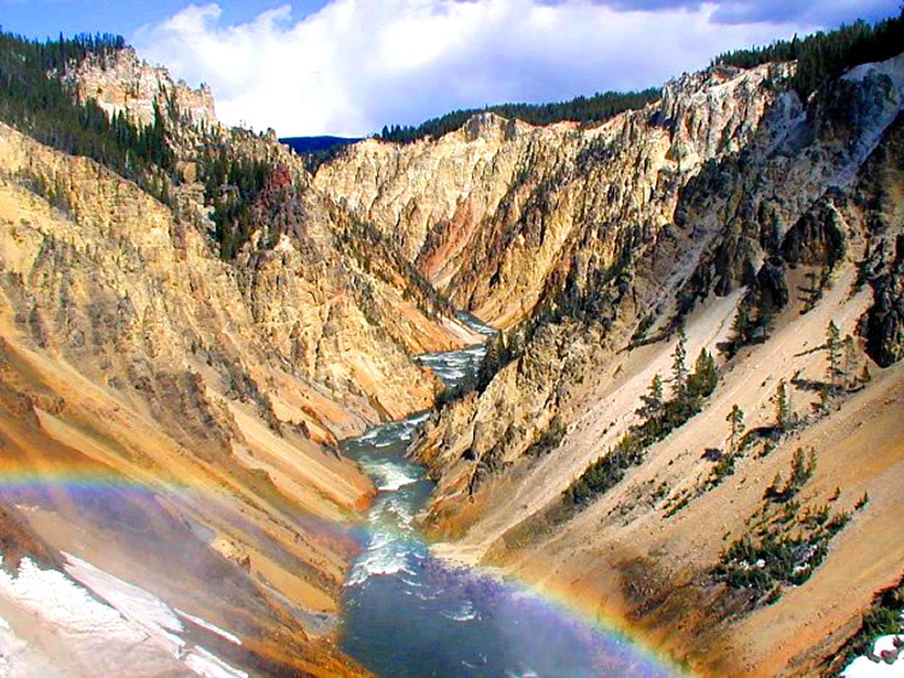
Pinpointing the Trigger Behind Yellowstone's Last Supereruption
Geologists suggest that mixing of magma melt pockets could have caused the explosion a little more than 600,000 years ago.

Posted inScience Updates
A Name Directory for the Ocean Floor
New Web resources enable scientists to standardize the naming of seamounts, trenches, and other undersea features, reducing ambiguity in identification and communication.

Posted inNews
Cores from Crater Tied to Dinosaur Demise Validate Impact Theory
Drilling into the famous, deeply buried Chicxulub crater off Mexico, researchers found deformed and porous granite that opens new avenues of research.
Posted inNews
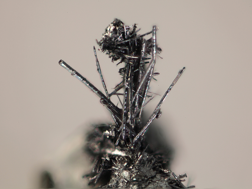
Whiskers on Familiar Crystal Revealed as New Mineral
A 14-year-old girl's chance encounter with a random sample of tanzanite led scientists to find an entirely new mineral.
Posted inAGU News
Behr Receives 2016 Jason Morgan Early Career Award
Whitney Behr will receive the 2016 Jason Morgan Early Career Award at the 2016 American Geophysical Union Fall Meeting, to be held 12–16 December in San Francisco, Calif. The award is for significant early-career contributions in Tectonophysics.
Posted inAGU News
Pigott and Pimienta Receive 2016 Mineral and Rock Physics Graduate Research Award
Jeffrey Pigott and Lucas Pimienta will receive the 2016 Mineral and Rock Physics Graduate Research Award, given annually to one or more promising young scientists for outstanding contributions achieved during their Ph.D. research. Recipients of this award are engaged in experimental and/or theoretical studies of Earth and planetary materials with the purpose of unraveling the physics and chemistry that govern their origin and physical properties.
Posted inAGU News
Savage Receives 2016 Mineral and Rock Physics Early Career Award
Heather M. Savage will receive the 2016 Mineral and Rock Physics Early Career Award at the 2016 American Geophysical Union Fall Meeting, to be held 12–16 December in San Francisco, Calif. The award is for promising young scientists in recognition of outstanding contributions achieved during their Ph.D. research.
Posted inNews
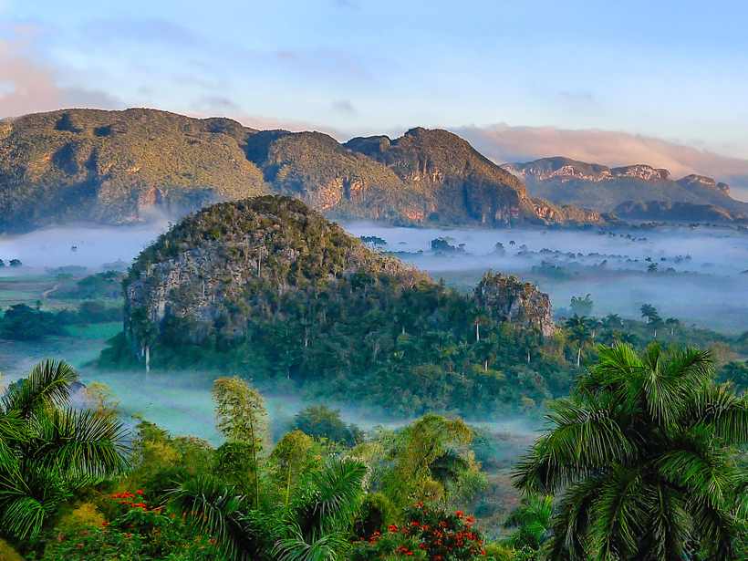
Cubans, Americans Bridge a Scientific Rift
Two scientific communities that evolved separately for more than 50 years reunited last week to share their findings and plan a more unified future.
Posted inResearch Spotlights
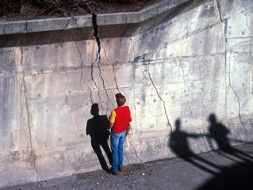
All Earthquakes Are Created Equal
A study of the development of earthquakes shows that the size of the initial rupture does not determine its intensity or range later on.