
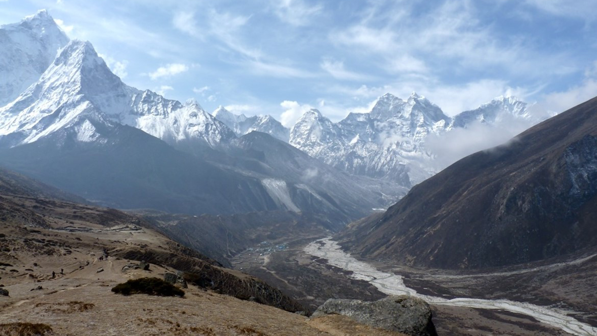
The Landslide Blog is written by Dave Petley, who is widely recognized as a world leader in the study and management of landslides. There has been quite a stir over the last week regarding a remarkable paper (Svennevig et al. 2024) that was published in the journal Science, describing a series of events that occurred […]
glaciers & ice sheets
Posted inNews
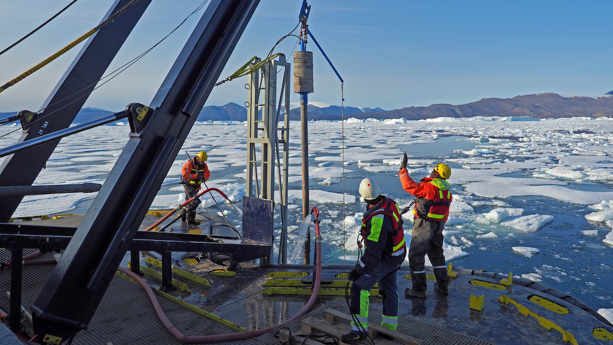
Swedish Icebreaker Is the First to Dig Into Greenland’s Remote Victoria Fjord
Data collected aboard Oden will shed light on the dynamics of the Greenland Ice Sheet.

Posted inEditors' Vox
An All-Community Push to “Close the Loops” on Southern Ocean Dynamics
A new study highlights the connected nature of the Southern Ocean dynamic system, the research priorities needed to understand its influence on climate change, the importance of cross-disciplinary collaborations.
Posted inEditors' Highlights
Sediment Dampens the Impact of Glaciation on Cenozoic Denudation
Rates of continental-scale sediment flux and denudation are similar between glacial and interglacial periods when the aggradation of glacier-eroded sediment inhibits fluvial erosion downstream.


Posted inNews
Radar Data Show Thwaites Gets a Daily Bath of Warm Seawater
The Doomsday Glacier, predicted to raise global sea level by more than half a meter, could be exposed to more warm ocean water than previously thought.
Posted inNews
Antarctic Ice Doughnuts May Hold the Key to Shelf Collapse
The first direct record of ring fractures in Antarctic ice shows how the phenomenon could cause rapid ice shelf collapse.

Posted inResearch Spotlights
Seals Help Scientists Make Discoveries in Antarctica’s Bellingshausen Sea
By analyzing hydrographic information gathered by seals and an undersea glider, researchers found new meltwater currents, as well as a new seafloor trough.

Posted inNews
Rain Comes to the Arctic, With a Cascade of Troubling Changes
Rain used to be rare in the Arctic, but as the region warms, so-called rain-on-snow events are becoming more common. The rains accelerate ice loss, trigger flooding, landslides, and avalanches, and create problems for wildlife and the Indigenous people who depend on them.
Posted inResearch Spotlights
Beneath the Ice: Greenland’s Geology Revealed in New Map
Advances in remote sensing offered an opportunity to redraw Greenland’s geologic map for the first time in 15 years.