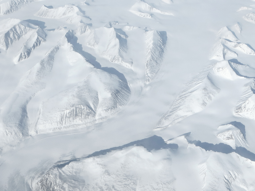
Researchers pinpoint how Milankovitch cycles have driven ice growth and influenced the timing of glacial periods.
glaciers & ice sheets
Posted inResearch Spotlights
Cosmic Muons Reveal the Land Hidden Under Ice
Scientists accurately map the shape of the bedrock beneath a glacier using a new technique.
Posted inResearch Spotlights
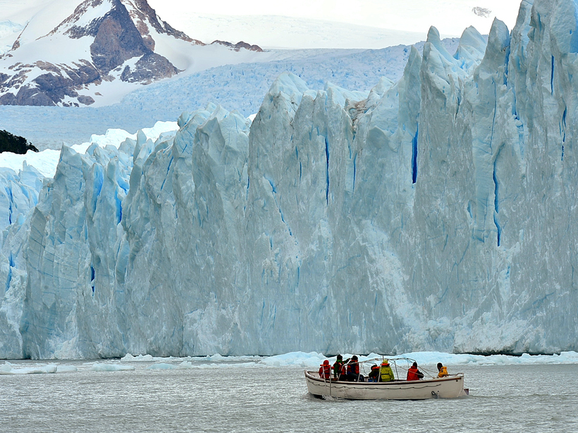
In Patagonian Lakes, Glacial Meltwater Lies Low
A new study reveals key differences in ice-water interactions between glaciers that flow into lakes and glaciers that end in the sea.

Posted inScience Updates
Advancing a Multisphere Approach to Third Pole Research
The International Workshop on Land Surface Multi-spheres Processes of Tibetan Plateau; Xining, Qinghai Province, China, 8–10 August 2016
Posted inNews
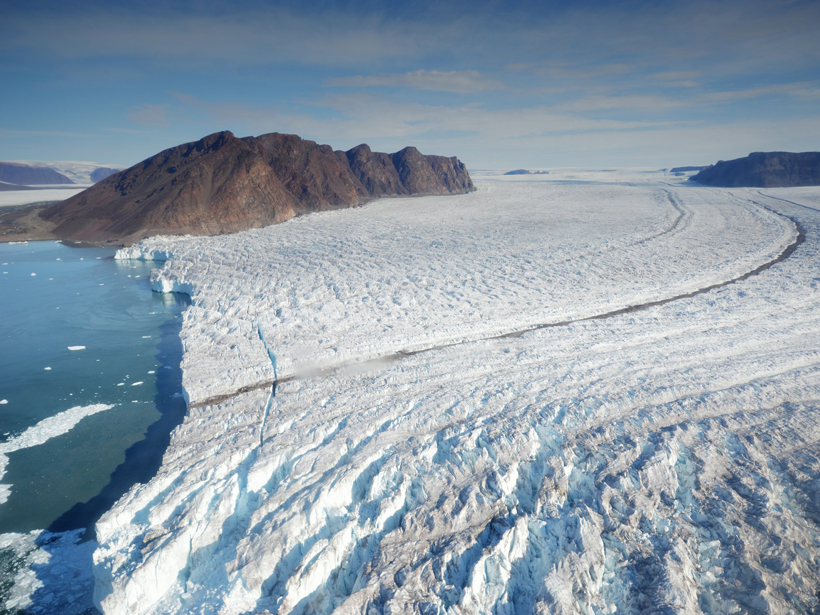
New Technique Reveals Iceberg Calving Process
Researchers used unmanned aerial vehicle data to model the growth of a fracture that broke a 1-kilometer-long iceberg off a Greenland glacier.

Posted inResearch Spotlights
Iceberg Surge During Last Deglaciation May Have Had Two Pulses
Seafloor sediment cores provide new clues that could help clarify the influence of ice sheet collapse on a period of ocean cooling marked by slowed deepwater circulation.

Posted inResearch Spotlights
What Regions Are Most at Risk for Ice Loss in East Antarctica?
Scientists model the impact of environmental warming on ice drainage basins in the less studied East Antarctica.

Posted inScience Updates
Mars Polar Intrigue Spurs Multidisciplinary Collaboration
Sixth International Conference on Mars Polar Science and Exploration; Reykjavík, Iceland; 5–9 September 2016
Posted inNews
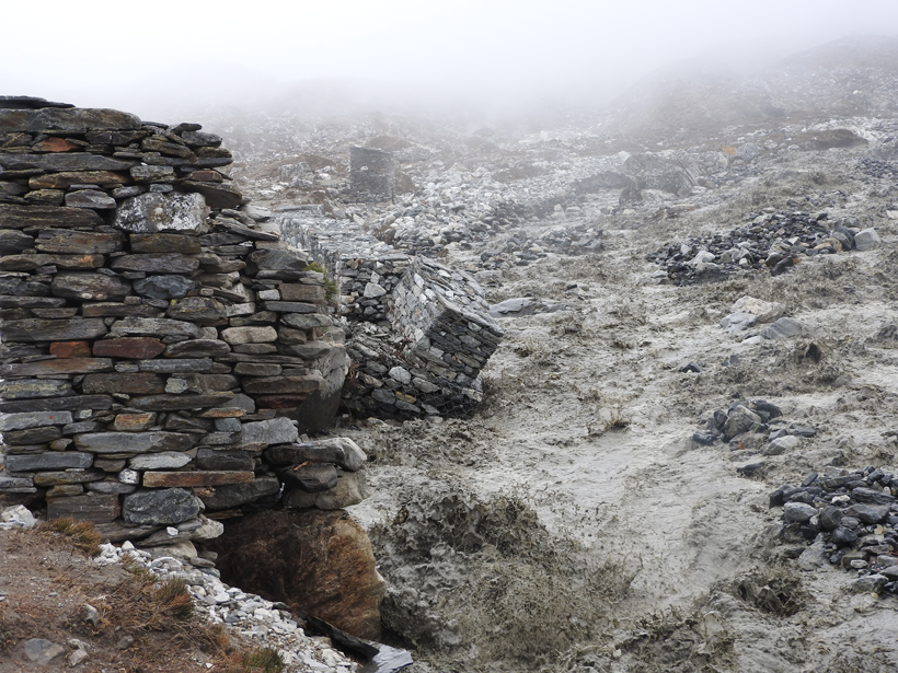
Glacial Outburst Flood near Mount Everest Caught on Video
More than 2 million cubic meters of water, hidden deep within Lhotse Glacier, spilled down toward the village of Chukhung, Nepal, in 2016.

Posted inNews
Kilimanjaro's Iconic Snows Mapped in Three Dimensions
New ground-penetrating radar measurements reveal the thickness and total ice volume of the mountain's Northern Ice Field.