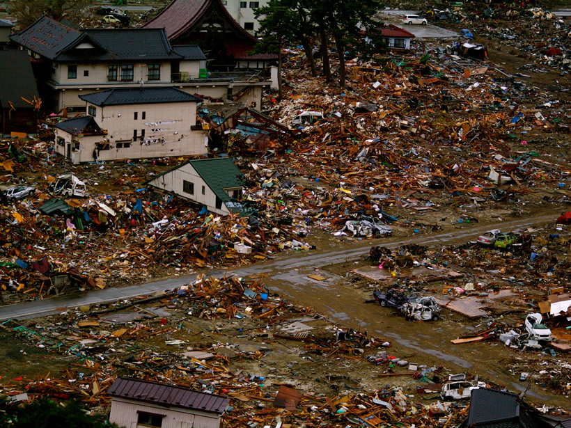
Researchers recreate changes in the seafloor during Japan's devastating 2011 tsunami.
Journal of Geophysical Research: Solid Earth

Posted inResearch Spotlights
Probing the Source Properties of Deep Earthquakes
A global review of earthquake rupture parameters reveals that deep earthquakes have larger fracture energies and may have different rupture mechanisms than shallower seismic events.

Posted inResearch Spotlights
Understanding Tectonic Processes Following Great Earthquakes
Scientists parse out the processes underlying tectonic signals detected by GPS networks.
Posted inResearch Spotlights
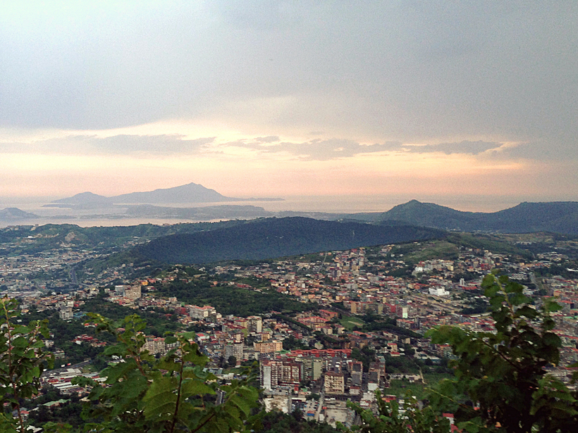
When Might the Campi Flegrei Caldera Erupt Again?
The clock may be ticking for Italy's Campi Flegrei caldera, a region with a pattern of numerous and sometimes large explosive eruptions. The next explosion could be less than 100 years away.
Posted inResearch Spotlights
A New Model to Improve Gravity Models
Data from the Gravity Recovery and Climate Experiment (GRACE) mission gets a new and improved look.

Posted inResearch Spotlights
Hong Kong, Macau at Greater Tsunami Risk Than We Thought
Researchers assess tsunami risk in the South China Sea based on models of seismic slip along the Manila megathrust.
Posted inResearch Spotlights
A Better Model for How the Mantle Melts
A new model of the melting behavior of certain mantle rocks gives researchers a better understanding of the source of oceanic lavas.

Posted inResearch Spotlights
The Gravity of Volcanic Eruptions
New research suggests that continually monitoring gravity changes near active volcanoes could provide insights into volcanic activity.
Posted inResearch Spotlights
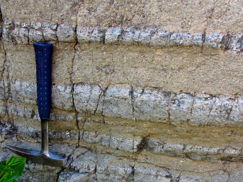
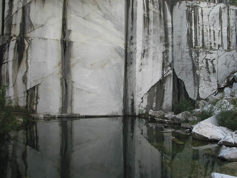
New Technique Tracks Rock Deformation at a Micrometric Scale
Scientists explore microscopic marble deformation at high pressures and temperatures using a novel experimental technique that could improve our understanding of rock deformation in nature.

Posted inResearch Spotlights
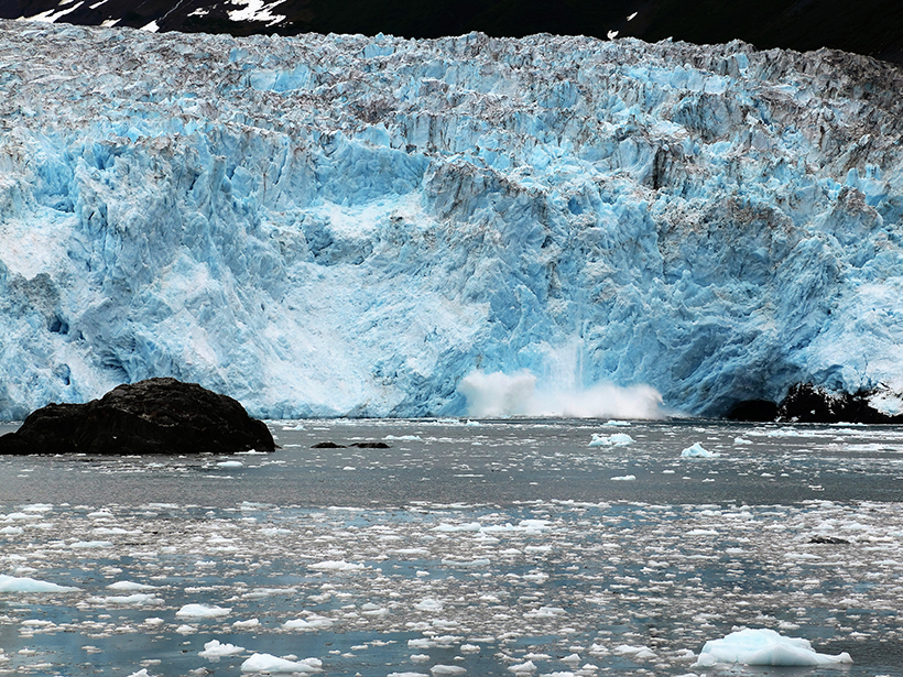
Tremors Reveal the Structure of Deep Glacial Shafts
Seismic waves produced by free-falling meltwater could improve understanding of glacial drainage processes.